Benton Park in St. Louis, Missouri — The American Midwest (Upper Plains)
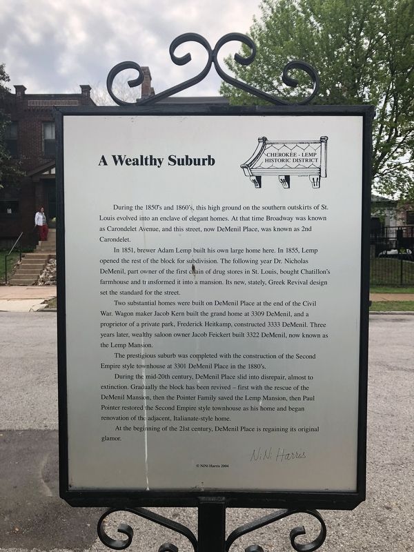
A Wealthy Suburb
Cherokee-Lemp Historic District
In 1851, brewer Adam Lemp built his own large home here. In 1855, Lemp opened the rest of the block for subdivision. The following year Dr. Nicholas DeMenil, part owner of the first chain of drug stores in St. Louis, bought Chatillon's farmhouse and transformed it into a mansion. Its new, stately, Greek Revival design set the standard for the street.
Two substantial homes were built on DeMenil Place at the end of the Civil War. Wagon maker Jacob Kern built the grand home at 3309 DeMenil, and a proprietor of a private park, Frederick Heitkamp, constructed 3333 DeMenil. Three years later, wealthy saloon owner Jacob Feickert built 3322 DeMenil, now known as the Lemp Mansion.
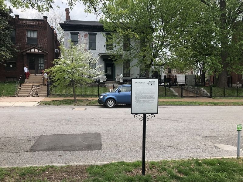
The prestigious suburb was completed with the construction of the Second Empire style townhouse at 3301 DeMenil Place in the 1880's.
During the mid-20th century, DeMenil Place slid into disrepair, almost to extinction. Gradually the block has been revived — first with the rescue of DeMenil Mansion, then the Pointer Family saved the Lemp Mansion, then Paul Pointer restored the Second Empire style townhouse as his home and began renovation of the adjacent, Italianate-style home.
At the beginning of the 21st century, DeMenil Place is regaining its original glamour.
Erected 2004 by NiNi Harris.
Topics and series. This historical marker is listed in these topic lists: Architecture • Industry & Commerce • Science & Medicine. In addition, it is included in the Missouri, St. Louis, The Cherokee-Lemp History Walk series list. A significant historical year for this entry is 1851.
Location. 38° 35.61′ N, 90° 12.961′ W. Marker is in St. Louis, Missouri. It is in Benton Park. Marker is on DeMenil Place south of Utah Street, on the right when traveling north. Touch for map. Marker is at or near this postal address: 3313 DeMenil Place, Saint Louis MO 63118, United States of America. Touch for directions.
Other nearby markers. At least 8 other markers are within walking distance of this marker. 3322 DeMenil Place (a few steps from this marker); 3319 DeMenil Place (within shouting distance of this marker); This cake commemorates (within shouting distance of this marker); DeMenil Place During The Gay Nineties (about 400 feet away, measured in a direct line); DeMenil Mansion (about 400 feet away); Origins (about 500 feet away); Cherokee Cave (about 500 feet away); The Lemp Brewery (about 600 feet away). Touch for a list and map of all markers in St. Louis.
Credits. This page was last revised on January 30, 2023. It was originally submitted on April 30, 2019, by Devry Becker Jones of Washington, District of Columbia. This page has been viewed 290 times since then and 24 times this year. Photos: 1, 2. submitted on April 30, 2019, by Devry Becker Jones of Washington, District of Columbia.

