Turpin Hills in Cincinnati in Hamilton County, Ohio — The American Midwest (Great Lakes)
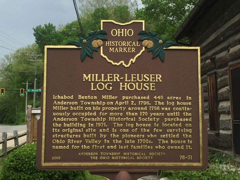
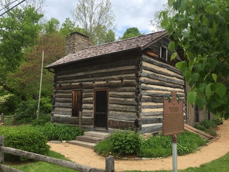
Miller - Leuser Log House
Erected 2010 by Anderson Township Historical Society, The Ohio Historical Society. (Marker Number 76-31.)
Topics and series. This historical marker is listed in this topic list: Settlements & Settlers. In addition, it is included in the Ohio Historical Society / The Ohio History Connection series list. A significant historical date for this entry is April 2, 1796.
Location. 39° 6.09′ N, 84° 22.19′ W. Marker is in Cincinnati, Ohio, in Hamilton County. It is in Turpin Hills. Marker is on Clough Pike. Touch for map. Marker is at or near this postal address: 6540 Clough Pike, Cincinnati OH 45244, United States of America. Touch for directions.
Other nearby markers. At least 8 other markers are within 3 miles of this marker, measured as the crow flies. Clark Stone House (approx. 0.4 miles away); Clough Pike (approx. 0.4 miles away); The Clough Baptist Cemetery (approx. 0.6 miles away); Blockhouse (approx. 1˝ miles away); The Church / The Founder (approx. 2.1 miles away); Garard / Martin Station, 1790 (approx. 2.3 miles away); The Madisonville Site (approx. 2.8 miles away); Village of Mariemont (approx. 3 miles away). Touch for a list and map of all markers in Cincinnati.
Credits. This page was last revised on February 4, 2023. It was originally submitted on May 2, 2019, by Steve Stoessel of Niskayuna, New York. This page has been viewed 360 times since then and 23 times this year. Photos: 1, 2. submitted on May 2, 2019, by Steve Stoessel of Niskayuna, New York. • Andrew Ruppenstein was the editor who published this page.

