Alton in Madison County, Illinois — The American Midwest (Great Lakes)
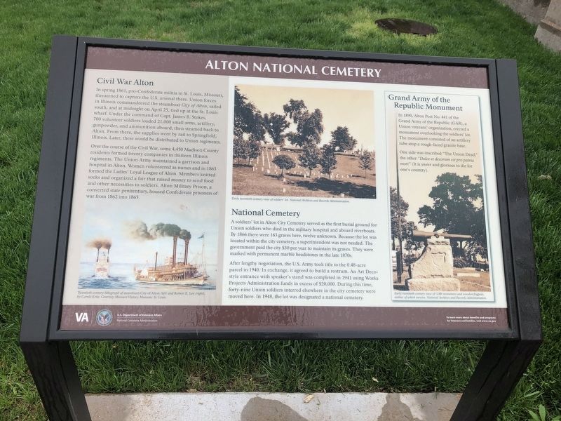
Alton National Cemetery
Civil War Alton
In spring, 1861, pro-Confederate militia in St. Louis, Missouri, threatened to capture the U.S. arsenal there. Union forces in Illinois commandeered the steamboat City of Alton, sailed south, and and at midnight on April 25, tied up at the St. Louis wharf. Under the command of Capt. James B. Stokes, 700 volunteer soldiers loaded 21,000 small arms, artillery, gunpowder, and ammunition aboard, then steamed back to Alton. From there, the supplies went by rail to Springfield, Illinois. Later, these would be distributed to Union regiments.
Over the course of the Civil War, some 4,450 Madison County residents formed twenty companies in thirteen Illinois regiments. The Union Army maintained a garrison and hospital in Alton. Women volunteered as nurses and in 1863 formed the Ladies' Loyal League of Alton. Members knitted socks and organized a fair that raised money to send food and other necessities to soldiers. Alton Military Prison, a converted state penitentiary, housed Confederate prisoners of war from 1862 into 1865.
National Cemetery
A soldiers' lot in Alton City Cemetery served as the first burial ground for Union soldiers who died in the military hospital and aboard riverboats. By 1866 there were 163 graves here, twelve unknown. Because the lot was located within the city cemetery, a superintendent was not needed. The government paid the city $30 per year to maintain its graves. They were marked with permanent marble headstones in the late 1870s.
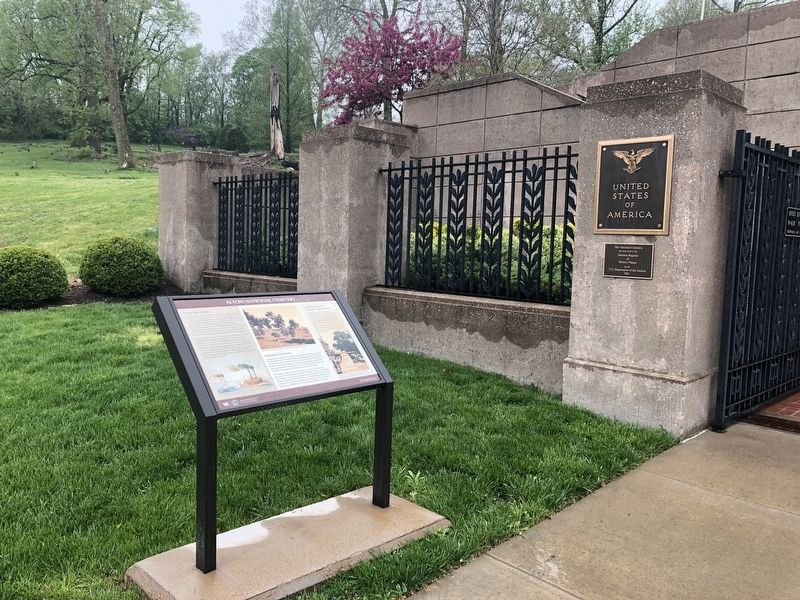
After lengthy negotiation, the U.S. Army took title to the 0.48-acre parcel in 1940. In exchange, it agreed to build a rostrom. An Art-Deco style entrance with speaker's stand was completed in 1941 using Works Projects Administration funds in excess of $20,000. During this time, forty-nine Union soldiers interred elsewhere in the city cemetery were moved here. In 1948, the lot was designated a national cemetery.
Grand Army of the Republic Monument
In 1890, Alton Post No. 441 of the Grand Army of the Republic (GAR), a Union veterans' organization, erected a monument overlooking the soldiers' lot. The monument consisted of an artillery tube atop a rough-faced granite base.
One side was inscribed "The Union Dead," the other "Dulce et decorum est pro patria mori" (It is sweet and glorious to die for one's country).
Erected by U.S. Department of Veterans Affairs, National Cemetery Administration.
Topics and series. This historical marker is listed in these topic lists: Cemeteries & Burial Sites • War, US Civil. In addition, it is included in the National Cemeteries series list. A significant historical date for this entry is April 25, 1861.
Location.
Other nearby markers. At least 8 other markers are within walking distance of this marker. A National Cemetery System (here, next to this marker); The Cost of Freedom (a few steps from this marker); Elijah Parish Lovejoy (approx. 0.2 miles away); Freedom's Martyr (approx. 0.2 miles away); a different marker also named Elijah Parish Lovejoy (approx. 0.2 miles away); Scott Bibb and the Alton School Desegregation Case (approx. 0.4 miles away); Lyman Trumbull House (approx. 0.9 miles away); Haskell Playhouse (approx. 0.9 miles away). Touch for a list and map of all markers in Alton.

Photographed By Devry Becker Jones (CC0), April 24, 2019
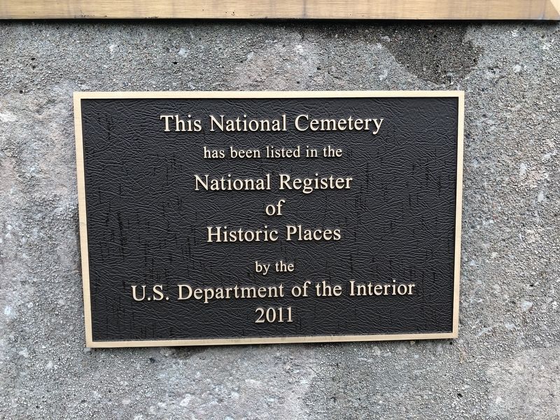
3. National Register of Historic Places plaque on the ground of the cemetery

Photographed By Devry Becker Jones (CC0), April 24, 2019
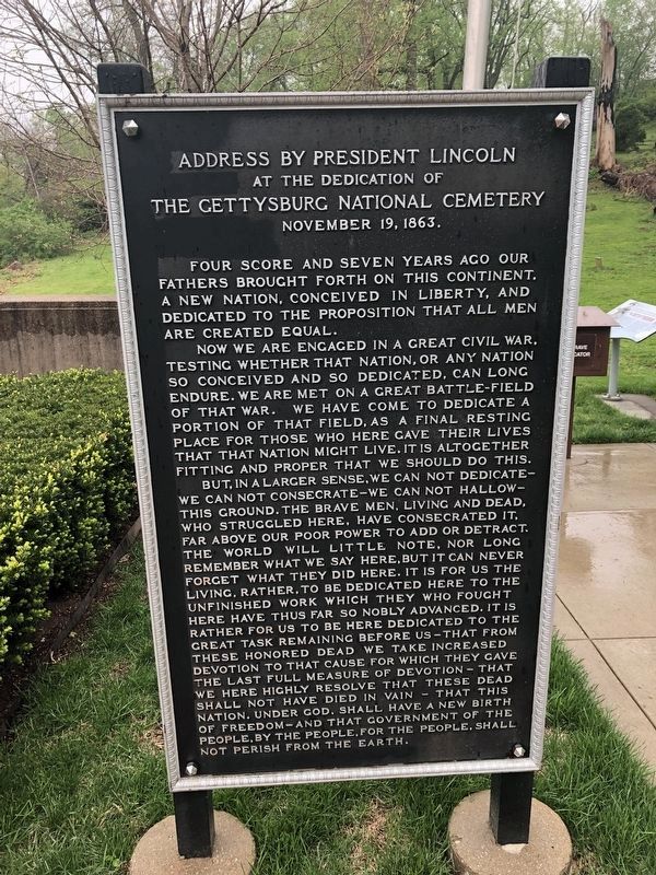
4. The Gettysburg Address
On the grounds of each of the national cemeteries
Credits. This page was last revised on November 8, 2021. It was originally submitted on May 2, 2019, by Devry Becker Jones of Washington, District of Columbia. This page has been viewed 298 times since then and 47 times this year. Photos: 1, 2, 3, 4. submitted on May 2, 2019, by Devry Becker Jones of Washington, District of Columbia.

