Surfside Beach in Horry County, South Carolina — The American South (South Atlantic)
Ark Cemetery
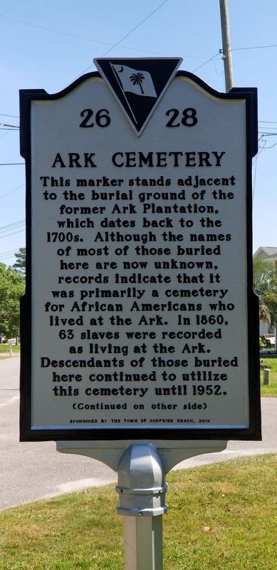
This marker stands adjacent to the burial ground of the former Ark Plantation, which dates back to the 1700s. Although the names of most of those buried here are now unknown, records indicate that it was primarily a cemetery for African Americans who lived at the Ark. In 1860, 63 slaves were recorded as living at the Ark. Descendants of those buried here continued to utilize this cemetery until 1952.
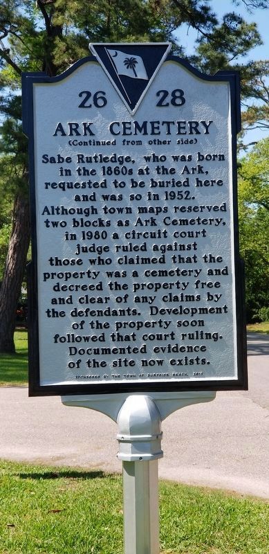
Sabe Rutledge, who was born in the 1860s at the Ark, requested to be buried here and was so in 1952. Although town maps reserved two blocks as Ark Cemetery, in 1980 a circuit court judge ruled against those who claimed that the property was a cemetery and decreed the property free and clear of any claims by the defendants. Development of the property soon followed that court ruling. Documented evidence of the site now exists.
Erected 2019 by Town of Surfside Beach. (Marker Number 26 28.)
Topics. This historical marker is listed in these topic lists: African Americans • Cemeteries & Burial Sites.
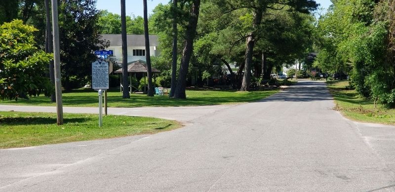
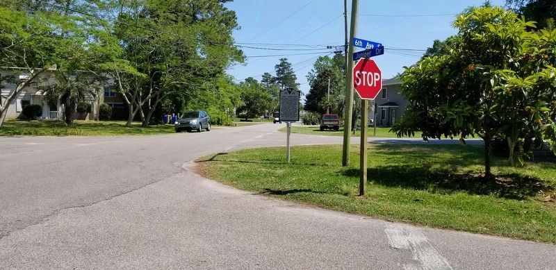
Location. 33° 36.302′ N, 78° 58.76′ W. Marker is in Surfside Beach, South Carolina, in Horry County. Marker is at the intersection of 6th Avenue South and Juniper Drive, on the right when traveling south on 6th Avenue South. Located just north of South Myrtle Drive as well, almost a "5 corners" type intersection. Touch for map. Marker is in this post office area: Myrtle Beach SC 29575, United States of America. Touch for directions.
Other nearby markers. At least 8 other markers are within 4 miles of this marker, measured as the crow flies. Ark Agriculture (approx. 0.2 miles away); 1838 Ark Land Survey (approx. 0.2 miles away); The Ark Sand Ridge (approx. 0.2 miles away); The Ark House and Shady Side Inn (approx. 0.2 miles away); Ark Plantation (approx. 0.2 miles away); Surfside Beach Veterans Monument (approx. 0.3 miles away); Jack Walker (approx. 3.7 miles away); St. James Rosenwald School (approx. 3.8 miles away). Touch for a list and map of all markers in Surfside Beach.
Credits. This page was last revised on May 16, 2023. It was originally submitted on May 4, 2019, by Charles Keller of Myrtle Beach, South Carolina. This page has been viewed 558 times since then and 39 times this year. Photos: 1, 2, 3, 4. submitted on May 4, 2019, by Charles Keller of Myrtle Beach, South Carolina. • Bernard Fisher was the editor who published this page.


