Altamont in Albany County, New York — The American Northeast (Mid-Atlantic)
Knowersville
Altamont, New York
— Museum In The Streets —
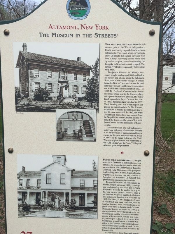
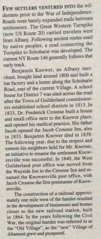
Few settlers ventured into the wilderness prior to the War of Independence. Roads were barely expanded trails between settlements. The Great Western Turnpike (now US Route 20) carried travelers west from Albany. Following ancient routes used by native peoples, a road connecting the Turnpike to Schoharie was developed. The current NY Route 146 generally follows that early track.
Benjamin Knower, an Albany merchant, bought land around 1800 and built a hat factory and a home along the Schoharie Road, east of the current Village. A schoolhouse for District 7 was sited across the road after the Town of Guilderland commissioners established school districts in 1813. In 1833, Dr. Frederick Crounse built a house and small office next to the Knower place, and opened his medical practice. His father Jacob opened the Jacob Crounse Inn, also in 1833. Benjamin Knower died in 1839. The following year, due to the respect and esteem his neighbors held for Mr. Knower, an initiative to rename the settlement Knowersville was successful. In 1840, the West Guilderland post office was moved from the Wayside Inn to the Crounse Inn and renamed the Knowersville post office, with Jacob Crounse the first postmaster of Knowersville.
The construction of a railroad approximately one mile west of the hamlet resulted in the development of businesses and homes closer to the new railroad station, built in 1864. In the years following the Civil War, the original hamlet was referred to as the "Old Village", as the "new” Village of Altamont grew and prospered.
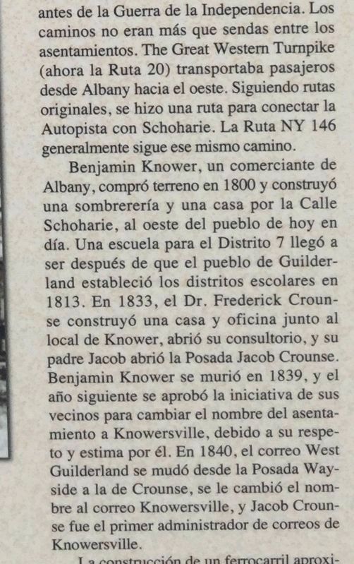
Benjamin Knower, un comerciante de Albany, compró terreno en 1800 y construyó una sombrerería y una casa por la Calle Schoharie, al oeste del pueblo de hoy en día. Una escuela para el Distrito 7 llegó a ser después de que el pueblo de Guilderland estableció los distritos escolares en 1813. En 1833, el Dr. Frederick Crounse construyó una casa y oficina junto al local de Knower, abrió su consultorio, y su padre Jacob abrió la Posada Jacob Crounse. Benjamin Knower se murió en 1839, y el año siguiente se aprobó la iniciativa de sus vecinos para cambiar el nombre del asentamiento a Knowersville, debido a su respeto y estima por él. En 1840, el correo West Guilderland se mudó desde la Posada Wayside a la de Crounse, se le cambió el nombre al correo Knowersville, y Jacob Crounse fue el primer administrador de correos de Knowersville.
La construcción de un ferrocarril aproximadamente a una milla al oeste de la aldea dio como resultado el desarrollo de negocios y viviendas más cercanas a la nueva estación de ferrocarril, construida en 1864. En los años posteriores a la Guerra Civil, la aldea original se denominó "Aldea Vieja", como el "nuevo" pueblo de Altamont creció y prosperó.
Erected by Hudson River Valley Greenway. (Marker Number 27.)
Topics and series. This historical marker is listed in this topic list: Settlements & Settlers. In addition, it is included in the The Museum in the Streets®: Altamont, New York series list. A significant historical year for this entry is 1800.
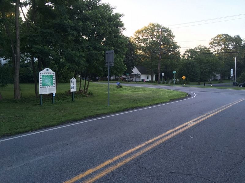
Location. 42° 42.271′ N, 74° 1.259′ W. Marker is in Altamont, New York, in Albany County. Marker is at the intersection of Gun Club Road and Main Street (New York State Route 146), on the right when traveling north on Gun Club Road. Marker is beside museum map marker. Touch for map. Marker is in this post office area: Altamont NY 12009, United States of America. Touch for directions.
Other nearby markers. At least 8 other markers are within walking distance of this marker. Altamont, New York (a few steps from this marker); Dr F. Crounse (within shouting distance of this marker); Knower House (about 400 feet away, measured in a direct line); Inn of Jacob Crounse (about 600 feet away); Old Plank Road (approx. 0.2 miles away); Severson House (approx. 0.2 miles away); Family Cemetery (approx. 0.2 miles away); Altamont High School (approx. half a mile away). Touch for a list and map of all markers in Altamont.
Credits. This page was last revised on November 26, 2021. It was originally submitted on May 7, 2019, by Steve Stoessel of Niskayuna, New York. This page has been viewed 400 times since then and 19 times this year. Photos: 1, 2, 3. submitted on May 7, 2019, by Steve Stoessel of Niskayuna, New York. 4. submitted on July 18, 2020, by Howard C. Ohlhous of Duanesburg, New York. • Bill Pfingsten was the editor who published this page.


