Carillon in Richmond, Virginia — The American South (Mid-Atlantic)
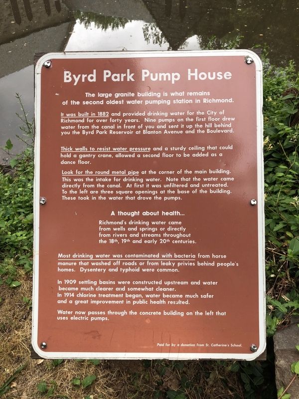
Byrd Park Pump House
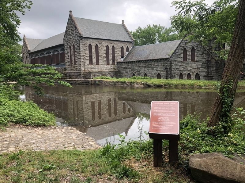
The large granite building is what remains of the second oldest water pumping station in Richmond.
It was built in 1882 and provided drinking water for the City of Richmond for over forty years. Nine pumps on the first floor drew water from the canal in front of you and sent it up the hill behind you the Byrd Park Reservoir at Blanton Avenue and the Boulevard.
Thick walls to resist water pressure and a sturdy ceiling that could hold a gantry crane, allowed a second floor to be added as a dance floor.
Look for the round metal pipe at the corner of the main building. This was the intake for drinking water. Note that the water came directly from the canal. At first it was unfiltered and untreated. To the left are three square openings at the base of the building. These took in the water that drove the pumps.
A thought about health... Richmond's drinking water came directly from wells and springs or directly from rivers and streams throughout the 18th, 19th and early 20th centuries.
Most drinking water has contaminated with bacteria from horse manure that washed off roads or from leaky privies behind people's homes. Dysentery and typhoid were common.
In 1909 settling basins were constructed upstream and water became much clearer and somewhat cleaner.
In 1914 chlorine treatment began, water became much safer and a great improvement in public health resulted.
Water now passes through the concrete building on the left that uses electric pumps.
Erected by St. Catherine's School.
Topics. This historical marker is listed in these topic lists: Animals • Science & Medicine • Waterways & Vessels. A significant historical year for this entry is 1882.
Location. 37° 32.193′ N, 77° 29.155′ W. Marker is in Richmond, Virginia. It is in Carillon. Marker can be reached from Pump House Drive west of Park Drive (Virginia Route 161), on the left when traveling west. Touch for map. Marker is at or near this postal address: 1600 Pump House Drive, Richmond VA 23225, United States of America. Touch for directions.
Other nearby markers. At least 8 other markers are within walking distance of this marker. Pumps and Parties (within shouting distance of this marker); Mule-Fueled Waterway (within shouting distance of this marker); Breaking Stones with Feathers (within shouting distance of this marker); Richmond at the Falls (within shouting distance of this marker); Water Water Everywhere (approx. 0.2 miles away); River & Canal (approx. 0.3 miles away); Maymont, Gilded Age Estate (approx. half a mile away); James & Sallie Dooley (approx. half a mile away). Touch for a list and map of all markers in Richmond.
Credits. This page was last revised on February 1, 2023. It was originally submitted on May 11, 2019, by Devry Becker Jones of Washington, District of Columbia. This page has been viewed 261 times since then and 21 times this year. Photos: 1, 2. submitted on May 11, 2019, by Devry Becker Jones of Washington, District of Columbia.

