Near Rokeby Lock in Morgan County, Ohio — The American Midwest (Great Lakes)
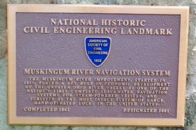
Muskingum River Navigation System
National Historic Civil Engineering Landmark
Completed 1841 • Designated 2001
Erected 2001 by American Society of Civil Engineers.
Topics and series. This historical marker is listed in these topic lists: Fraternal or Sororal Organizations • Landmarks • Waterways & Vessels. In addition, it is included in the ASCE Civil Engineering Landmarks series list. A significant historical year for this entry is 1837.
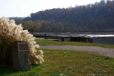
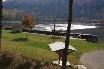
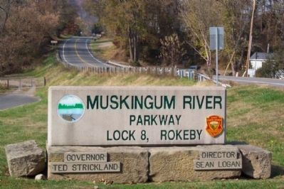
Location. 39° 44.029′ N, 81° 54.503′ W. Marker is near Rokeby Lock, Ohio, in Morgan County. Marker can be reached from Ohio Route 60 near Greer Road. Marker is near parking lot for Muskingum River Parkway Lock 8 Park, off Ohio Route 60, near Greer Road. Touch for map. Marker is in this post office area: McConnelsville OH 43756, United States of America. Touch for directions.
Other nearby markers. At least 8 other markers are within 7 miles of this marker, measured as the crow flies. Rokeby Lock (here, next to this marker); Morgan's Raid (within shouting distance of this marker); Eagleport (approx. 0.4 miles away); Morgan Raiders (approx. half a mile away); Deerfield Township (approx. 2.7 miles away); Goins Field (approx. 6.2 miles away); Stewart "Stu" Stevens (approx. 6.2 miles away); Rock Hollow School (approx. 6.3 miles away). Touch for a list and map of all markers in Rokeby Lock.
Credits. This page was last revised on July 29, 2018. It was originally submitted on November 7, 2008, by William Fischer, Jr. of Scranton, Pennsylvania. This page has been viewed 1,228 times since then and 26 times this year. Photos: 1, 2, 3, 4. submitted on November 7, 2008, by William Fischer, Jr. of Scranton, Pennsylvania. • Bill Pfingsten was the editor who published this page.


