Village of Woodstock in Windsor County, Vermont — The American Northeast (New England)
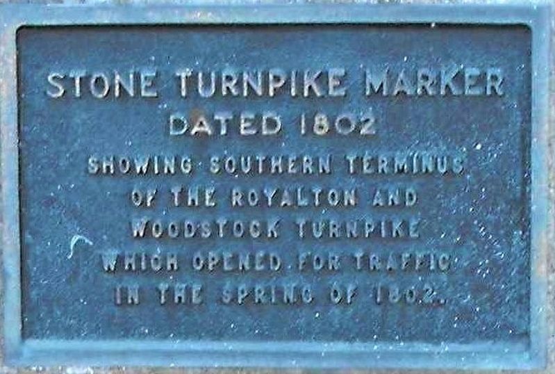
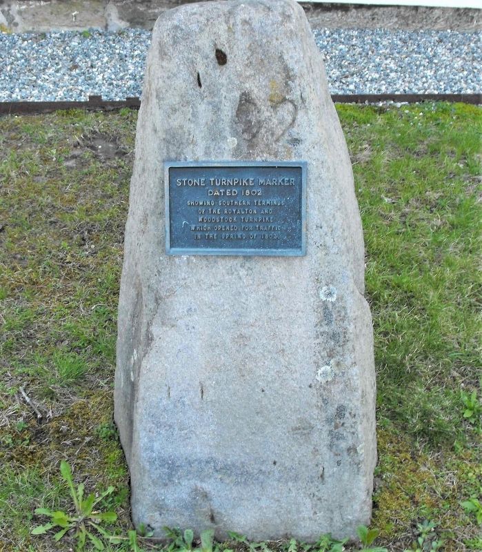
Stone Turnpike Marker
Royalton and Woodstock Turnpike
Topics. This historical marker is listed in this topic list: Roads & Vehicles.
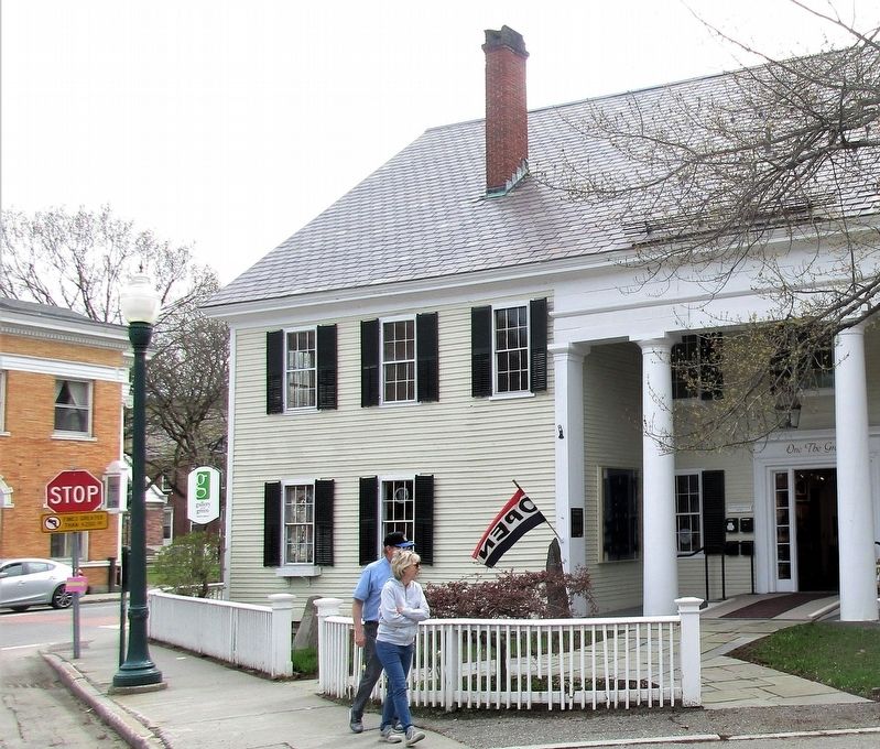
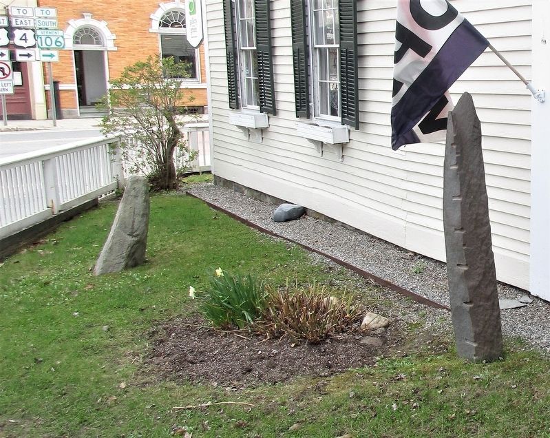
Location. 43° 37.509′ N, 72° 31.117′ W. Marker is in Woodstock, Vermont, in Windsor County. It is in Village of Woodstock. Marker is at the intersection of Elm Street (Vermont Route 12) and Central Street (U.S. 4), on the left when traveling north on Elm Street. Marker is in the front lawn of the White Cupboard Inn. Touch for map. Marker is at or near this postal address: 6 Elm Street, Woodstock VT 05091, United States of America. Touch for directions.
Other nearby markers. At least 8 other markers are within walking distance of this marker. Historical Marker (here, next to this marker); Woodstock (about 500 feet away, measured in a direct line); Paul Revere Bell (about 600 feet away); Justin Morgan (approx. 0.2 miles away); 1917 • World War Honor Roll • 1919 (approx. 0.2 miles away); Woodstock Civil War Memorial (approx. 0.2 miles away); The Marsh-Billings-Rockefeller Mansion (approx. 0.3 miles away); Marianne Gaillard Faulkner (approx. 0.4 miles away). Touch for a list and map of all markers in Woodstock.
Credits. This page was last revised on February 16, 2023. It was originally submitted on May 17, 2019, by Rev. Ronald Irick of West Liberty, Ohio. This page has been viewed 225 times since then and 21 times this year. Photos: 1, 2, 3, 4. submitted on May 17, 2019, by Rev. Ronald Irick of West Liberty, Ohio. • Andrew Ruppenstein was the editor who published this page.


