Marker Logo HMdb.org THE HISTORICAL
MARKER DATABASE
“Bite-Size Bits of Local, National, and Global History”
Bunker Hill in Berkeley County, West Virginia — The American South (Appalachia)
 

Christ Church


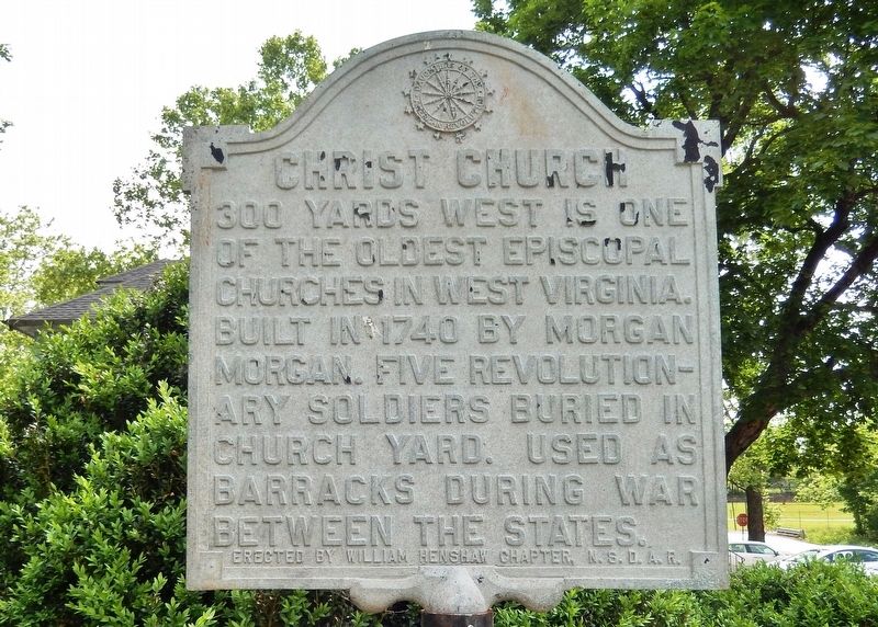
Christ Church Marker image. Click for full size.
Photographed By Cosmos Mariner, May 18, 2019
1. Christ Church Marker
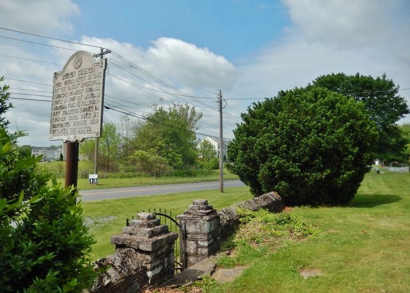
Inscription. 300 yards west is one of the oldest Episcopal churches in West Virginia. Built in 1740 by Morgan Morgan. Five Revolutionary soldiers buried in church yard. Used as a barracks during war between the states.
 
Erected by William Henshaw Chapter, N.S.D.A.R.
 
Topics and series. This historical marker is listed in these topic lists: Cemeteries & Burial SitesChurches & ReligionWar, US CivilWar, US Revolutionary. In addition, it is included in the Daughters of the American Revolution series list. A significant historical year for this entry is 1740.
 
Location. 39° 20.022′ N, 78° 3.43′ W. Marker is in Bunker Hill, West Virginia, in Berkeley County. Marker is at the intersection of Runnymeade Road (County Route 26) and Soldier Drive, on the right when traveling west on Runnymeade Road. Marker is located near a pull-out and small parking area directly in front of Morgan's Chapel. Touch for map. Marker is at or near this postal address: 144 Runnymeade Road, Bunker Hill WV 25413, United States of America. Touch for directions.
 
Other nearby markers. At least 8 other markers are within 3 miles of this marker, measured as the crow flies. Morgan Chapel (here, next to this marker); a different marker also named Christ Church (a few steps from this marker); Col. Morgan Morgan (approx. ¼ mile away); James Johnston Pettigrew Monument
Paid Advertisement
Click on the ad for more information.
Please report objectionable advertising to the Editor.
Click or scan to see
this page online
(approx. half a mile away); Gettysburg Campaign (approx. 1.2 miles away); Morgan Cabin (approx. 2.6 miles away); Cool Spring Presbyterian Church (approx. 2.6 miles away); Zacquill Morgan House (approx. 2.6 miles away). Touch for a list and map of all markers in Bunker Hill.
 
Related markers. Click here for a list of markers that are related to this marker. Col. Morgan Morgan
 
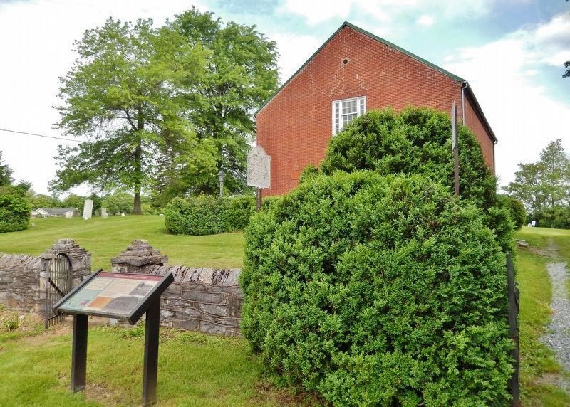
Christ Church Marker (<i>marker at center • church in background • related marker on left</i>) image. Click for full size.
Photographed By Cosmos Mariner, May 18, 2019
2. Christ Church Marker (marker at center • church in background • related marker on left)
Christ Church Marker (<i>view southwest from church yard • Runnymeade Road in background</i>) image. Click for full size.
Photographed By Cosmos Mariner, May 18, 2019
3. Christ Church Marker (view southwest from church yard • Runnymeade Road in background)
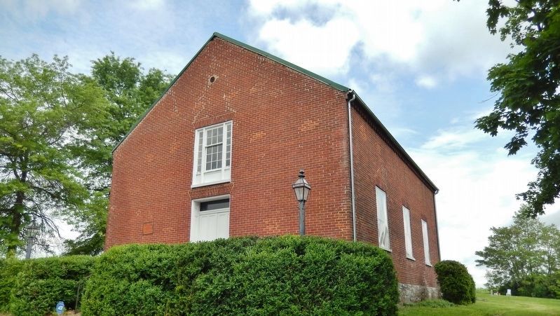
Christ Church / Morgan Chapel<br>(<i>southeast corner • view from near marker</i>) image. Click for full size.
Photographed By Cosmos Mariner, May 18, 2019
4. Christ Church / Morgan Chapel
(southeast corner • view from near marker)
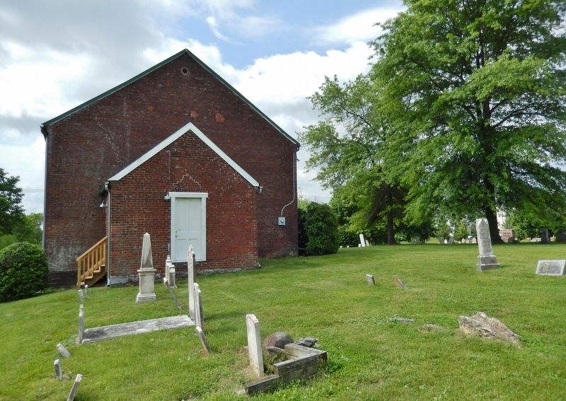
Christ Church / Morgan Chapel<br>(<i>north/back side view • cemetery section in foreground</i>) image. Click for full size.
Photographed By Cosmos Mariner, May 18, 2019
5. Christ Church / Morgan Chapel
(north/back side view • cemetery section in foreground)
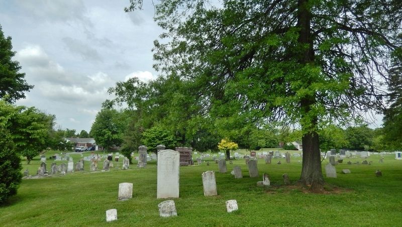
Christ Church / Morgan Chapel Cemetery<br>(<i>view northwest from church</i>) image. Click for full size.
Photographed By Cosmos Mariner, May 18, 2019
6. Christ Church / Morgan Chapel Cemetery
(view northwest from church)
 
 
Credits. This page was last revised on May 20, 2019. It was originally submitted on May 20, 2019, by Cosmos Mariner of Cape Canaveral, Florida. This page has been viewed 359 times since then and 20 times this year. Photos:   1, 2, 3, 4, 5, 6. submitted on May 20, 2019, by Cosmos Mariner of Cape Canaveral, Florida.
Share this page.  
Share on Tumblr
m=134064

CeraNet Cloud Computing sponsors the Historical Marker Database.
This website earns income from purchases you make after using our links to Amazon.com. We appreciate your support.
Paid Advertisement
Apr. 20, 2024