Bacalar, Quintana Roo, Mexico — The Yucatan Peninsula (The Southeast)
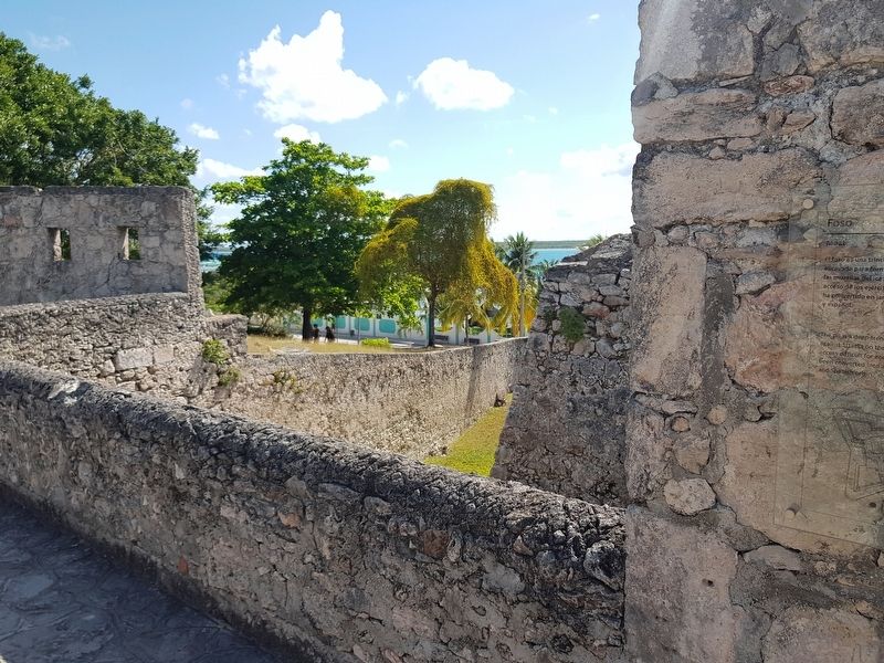
Moat of the Fort of San Felipe
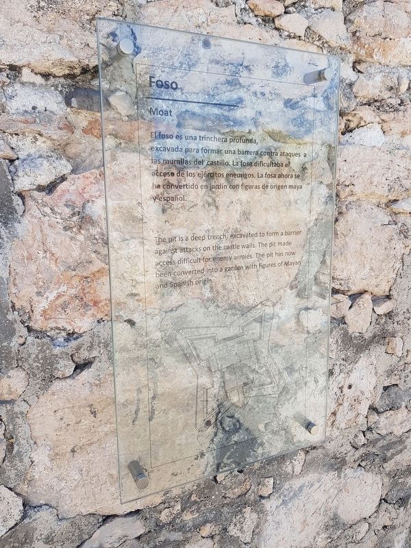
Foso
El foso es una trinchera profunda, excavada para formar una barrera contra ataques a las murallas del Castillo. La fosa dificultaba el acceso de los ejércitos enemigos. La fosa ahora se ha convertido en jardín con figuras de origen maya y español.
Moat
The pit is a deep trench excavated to form a barrier against attacks on the castle walls. The pit made access difficult for enemy armies. The pit has now been converted into a garden with figures of Mayan and Spanish origin.
Topics. This historical marker is listed in these topic lists: Colonial Era • Forts and Castles • Man-Made Features.
Location. 18° 40.63′ N, 88° 23.31′ W. Marker is in Bacalar, Quintana Roo. Marker is on Avenida 3 just east of Calle 22, on the right when traveling north. The marker is at the Fort of San Felipe Bacalar. Touch for map. Marker is in this post office area: Bacalar QR 77930, Mexico. Touch for directions.
Other nearby markers. At least 8 other markers are within walking distance of this marker. Bridge of the Fort of San Felipe (here, next to this marker); Fort of San Felipe (here, next to this marker); San Felipe Fort (within shouting distance of this marker); Bacalar as a Municipality (within shouting distance of this marker); Miguel Hidalgo y Costilla (about 150 meters away, measured in a direct line); Creation of the Municipality of Bacalar (about 240 meters away); Church of San Joaquín (approx. 0.3 kilometers away); Bacalar (approx. 0.3 kilometers away). Touch for a list and map of all markers in Bacalar.
Credits. This page was last revised on May 21, 2019. It was originally submitted on May 20, 2019, by J. Makali Bruton of Accra, Ghana. This page has been viewed 77 times since then and 4 times this year. Photos: 1, 2, 3. submitted on May 20, 2019, by J. Makali Bruton of Accra, Ghana.


