Bacalar, Quintana Roo, Mexico — The Yucatan Peninsula (The Southeast)
Ichkabal Bacalar
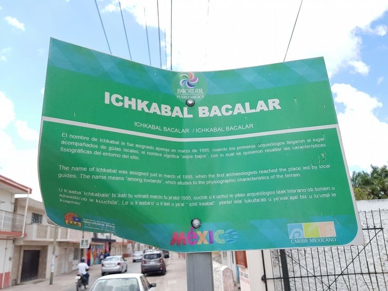
El nombre de Ichkabal le fue asignado apenas en marzo de 1995, cuando los primeros arqueólogos llegaron al lugar acompañados de guias locales; el nombre significa “entre bajos”, con lo cual quisieron resaltar las características fisiográficas del entorno sitio.
Ichkabal Bacalar
The name of Ichkabal was assigned just in march of 1995, when the first archaeologists reached the place led by local guides. The name means “among lowlands”, which alludes to the physiographic characteristics of the terrain.
Ichkabal Bacalar
U k’aab’ Ichkabale’ tsáab tu wiinalil marzo ja’abil 1995, úuchik u k'uchul le yáax arqueólogos láak inta'ano'ob tumen u ajbeelilo'ob le kúuchila’. Le u k’aaba’o’ u ya'al “ichil kaabal” yéetel lela' tukulta'ab u ye'esk'ajal bix u lu'umil le kúuchilo.
Erected by Gobierno del Estado de Quintana Roo 2011-2016.
Topics. This historical marker is listed in these topic lists: Man-Made Features • Native Americans • Settlements & Settlers. A significant historical month for this entry is March 1995.
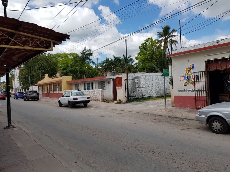
Location. 18° 40.756′ N, 88° 23.455′ W. Marker is in Bacalar, Quintana Roo. Marker is on Calle 7 just south of Calle 24, on the right when traveling north. Touch for map. Marker is in this post office area: Bacalar QR 77930, Mexico. Touch for directions.
Other nearby markers. At least 8 other markers are within walking distance of this marker. Church of San Joaquín (about 90 meters away, measured in a direct line); Bacalar (about 90 meters away); Bacalar During the XVth Century (about 180 meters away); Miguel Hidalgo y Costilla (about 210 meters away); The House of Culture (about 210 meters away); Regional Museum of Bacalar (approx. 0.2 kilometers away); Creation of the Municipality of Bacalar (approx. 0.3 kilometers away); San Felipe Fort (approx. 0.3 kilometers away). Touch for a list and map of all markers in Bacalar.
Regarding Ichkabal Bacalar. Ichkabal is a Maya archaeological site, located almost 40 km directly west of the town of Bacalar. The site is currently (May 2019) not open to the public as it is still being properly investigated.
It is not clear why this marker is here in this location. However, the marker is right outside the offices of the Bacalar Ejido (communal lands), on which the Ichkabal site is located.
Credits. This page was last revised on May 21, 2019. It was originally submitted on May 21, 2019, by J. Makali Bruton of Accra, Ghana. This page has been viewed 147 times since then and 8 times this year. Photos: 1, 2. submitted on May 21, 2019, by J. Makali Bruton of Accra, Ghana.

