Presbyterian Assembly Building
City Centre
— 1905 —
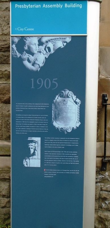
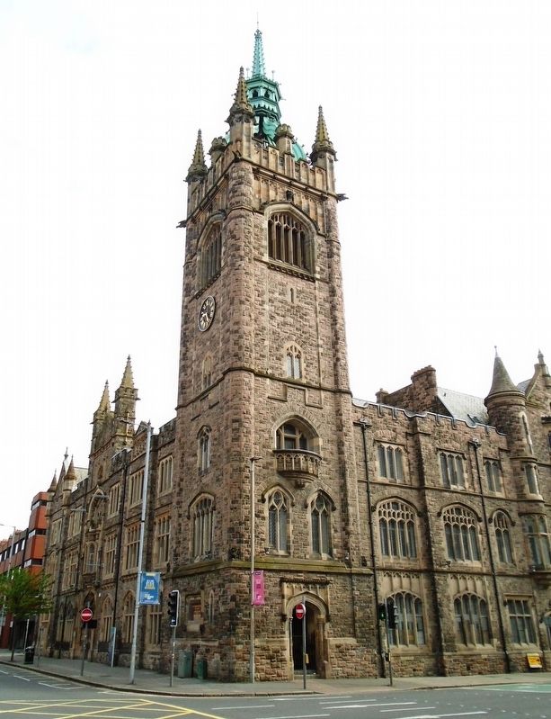
This impressive three storey building is the headquarters for the Presbyterian Church in Ireland. Its gothic architecture and corner tower dominate the busy junction of Fisherwick Place, Great Victoria Street, Howard Street and Grosvenor Road.
The building was designed by Robert Young and built at a cost of £70,000. It is loosely styled on the architecture of a Scottish baronial castle and stands on the site of the former Fisherwick Presbyterian Church, which was demolished in 1899 when the congregation moved to its present church on Malone Road. The building was opened in 1905 by the Duke of Argyll and its tower, which houses Belfast's only peal of 12 bells, is modelled on that of St. Giles' Cathedral in Edinburgh. The turret clock by Sharman D Neil was the first in the British Isles to employ electricity to drive the clock and the chiming and carillon parts.
The building's Scottish connection is appropriate since the Presbyterian Church in Ireland is a daughter church of the Church of Scotland. Its roots can be traced back to June 1642, when the first organised Presbyterianism in Ireland had its beginnings among Scottish regiments stationed in Carrickfergus, just 10 miles north of Belfast on the shore of Belfast Lough.
Church House survived bomb damage in the 1970s and has been sensitively restored. It was extensively
renovated in 1992 to provide more appropriate accommodation and the ground floor was at that time converted to a shopping mall. At the heart of the building is the large D-shaped Assembly Hall, one of the most impressive interiors in Belfast. Entered on the first floor, it has seating for 1,300 and is noted for its gallery and a great oblong roof light with coloured glass of art nouveau pattern.Erected by the City of Belfast.
Topics. This historical marker is listed in these topic lists: Architecture • Churches & Religion. A significant historical year for this entry is 1905.
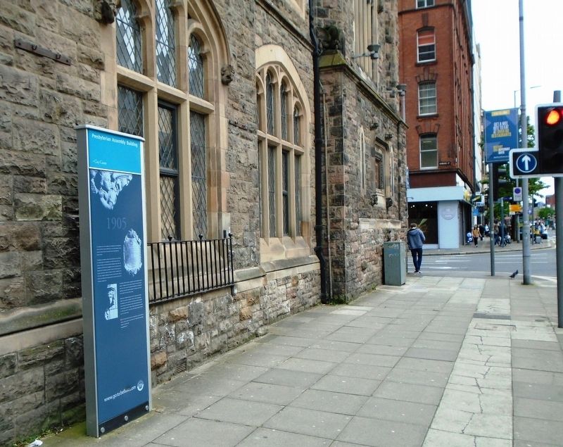
Location. 54° 35.763′ N, 5° 56.064′ W. Marker is in Belfast, Northern Ireland. Marker is at the intersection of Fisherwick Place and Howard Street (Northern Ireland Route A1), on the left when traveling south on Fisherwick Place. Touch for map. Marker is at or near this postal address: 2-10 Fisherwick Place, Belfast, Northern Ireland BT1 6DW, United Kingdom. Touch for directions.
Other nearby markers. At least 8 other markers are within walking distance of this marker. Howard Street (within shouting distance of this marker); Lord Kelvin OM (within shouting distance of this marker); Grand Opera House (about 90 meters away, measured in a direct line); Wellington Place (about 120 meters away); Royal Belfast Academical Institution (about 120 meters away); Crown Bar (about 150 meters away); Great Victoria Street Station (about 180 meters away); Donegall Square West (about 180 meters away). Touch for a list and map of all markers in Belfast.
Also see . . .
1. Presbyterian Assembly Buildings, Belfast. (Submitted on May 23, 2019, by William Fischer, Jr. of Scranton, Pennsylvania.)
2. Presbyterian Historical Society of Ireland. (Submitted on May 23, 2019, by William Fischer, Jr. of Scranton, Pennsylvania.)
Credits. This page was last revised on May 24, 2019. It was originally submitted on May 23, 2019, by William Fischer, Jr. of Scranton, Pennsylvania. This page has been viewed 259 times since then and 43 times this year. Photos: 1, 2. submitted on May 23, 2019, by William Fischer, Jr. of Scranton, Pennsylvania. 3. submitted on May 15, 2019, by William Fischer, Jr. of Scranton, Pennsylvania.


