Olmsted Falls in Cuyahoga County, Ohio — The American Midwest (Great Lakes)
Olmsted Falls, A Historic Community
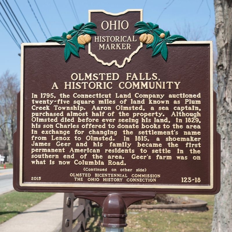
In 1795, the Connecticut Land Company auctioned twenty-five square miles of land known as Plum Creek Township. Aaron Olmsted, a sea captain, purchased almost half of the property. Although Olmsted died before ever seeing his land, in 1829, his son Charles offered to donate books to the area in exchange for changing the settlement’s name from Lenox to Olmsted. In 1815, a shoemaker James Geer and his famtly became the first permanent American residents to settle in the southern end of the area. Geer’s farm was on what is now Columbia Road.
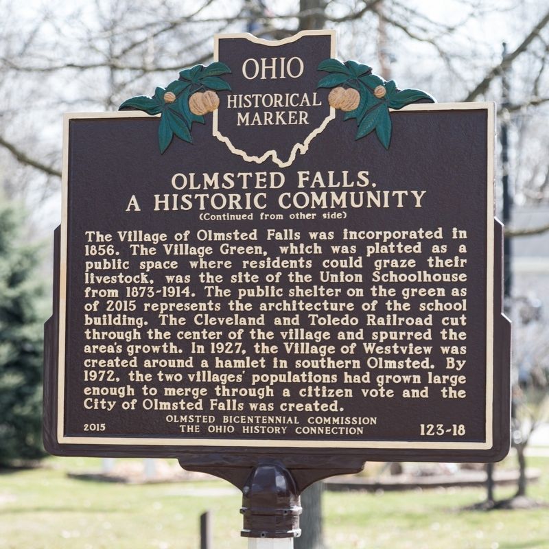
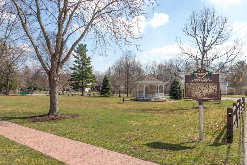
The Village of Olmsted Falls was incorporated in 1856. The Village Green, which was platted as a public space where residents could graze their livestock, was the site of the Union Schoolhouse from 1873-1914. The public shelter on the green as of 2015 represents the architecture of the school building. The Cleveland and Toledo Railroad cut through the center of the village and spurred the area’s growth. In 1927, the Village of Westview was created around a hamlet in southern Olmsted. By 1972, the two villages’ populations had grown large enough to merge through a citizen vote and the City of Olmsted Falls was created.
Erected 2015 by Olmsted Bicentennial Commission and The Ohio History Connection. (Marker Number 123-18.)
Topics and series. This historical marker is listed in these topic lists: Political Subdivisions • Settlements & Settlers. In addition, it is included in the Ohio Historical Society / The Ohio History Connection series list. A significant historical year for this entry is 1795.
Location. 41° 22.746′ N, 81° 54.178′ W. Marker is in Olmsted Falls, Ohio, in Cuyahoga County. Marker is on Columbia Road (Ohio Route 252) north of Water Street, on the right when traveling north. It is at Village Green Park. Touch for map. Marker is in this post office area: Olmsted Falls OH 44138, United States of America. Touch for directions.
Other nearby markers. At least 8 other markers are within 3 miles of this marker, measured as the crow flies. Olmsted Falls L.S. & M.S. Depot (approx. 0.3 miles away); Chestnut Grove Cemetery (approx. 0.4 miles away); Olmsted’s Origins / Olmsted Township (approx. one mile away); Springvale Ballroom (approx. 1.8 miles away); Butternut Ridge Cemetery 1835 (approx. 1.9 miles away); Frostville Post Office / Frostville Museum (approx. 2 miles away); The Ark (approx. 2.1 miles away); John J. Donnelly (approx. 2.3 miles away). Touch for a list and map of all markers in Olmsted Falls.
Also see . . . Wikipedia Entry for Olmsted Falls, Ohio. “After the discovery of the New World, the land that became Olmsted Falls was originally part of the French colony of Canada (New France), which was ceded in 1763 to Great Britain and renamed Province of Quebec. In the late 18th century the land became part of the Connecticut Western Reserve in the Northwest Territory, then was purchased by the Connecticut Land Company in 1795.” (Submitted on May 24, 2019.)
Credits. This page was last revised on May 24, 2019. It was originally submitted on May 24, 2019, by J. J. Prats of Powell, Ohio. This page has been viewed 230 times since then and 20 times this year. Photos: 1, 2, 3. submitted on May 24, 2019, by J. J. Prats of Powell, Ohio.


