Roanoke, Virginia — The American South (Mid-Atlantic)
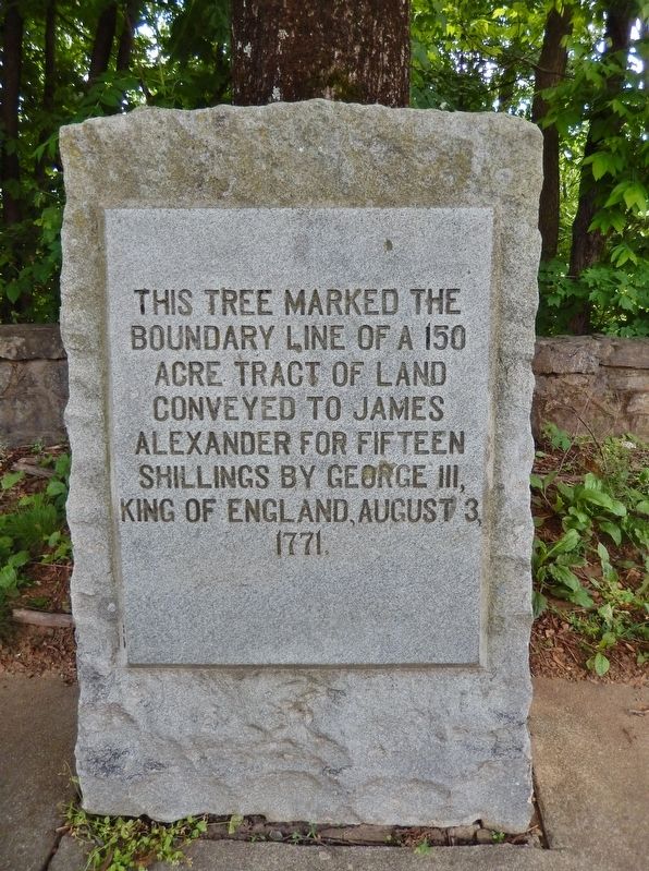
James Alexander Tract Boundary
Topics. This historical marker is listed in these topic lists: Colonial Era • Settlements & Settlers. A significant historical date for this entry is August 3, 1771.
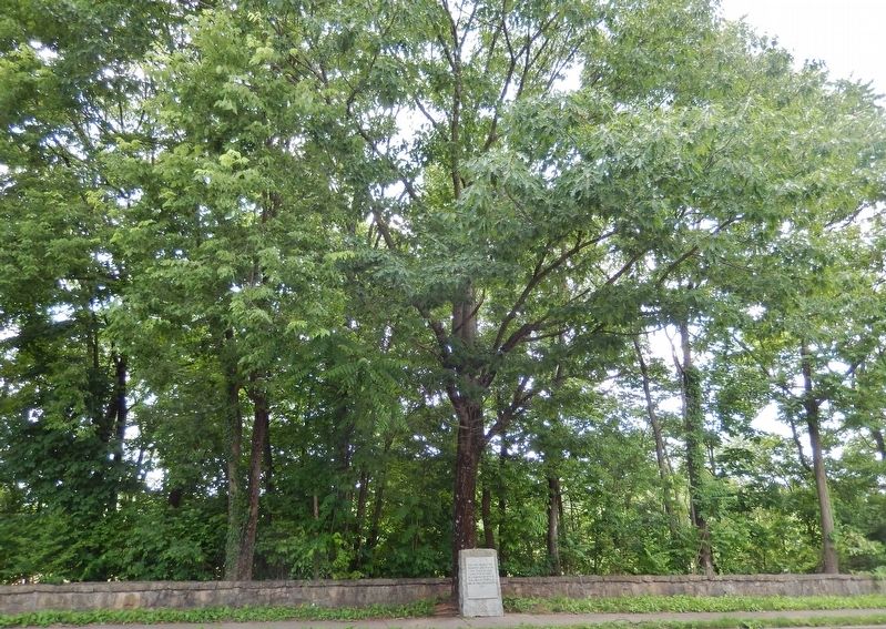
Location. 37° 16.16′ N, 79° 57.557′ W. Marker is in Roanoke, Virginia. Marker is on Ferdinand Avenue Southwest west of 10th Street Southwest, on the right when traveling south. Marker is located beside the sidewalk, overlooking the subject tree and the Roanoke River. Touch for map. Marker is in this post office area: Roanoke VA 24016, United States of America. Touch for directions.
Other nearby markers. At least 8 other markers are within walking distance of this marker. Torteras Village Indian Trail (about 400 feet away, measured in a direct line); Roanoke Memorial Bridge (approx. 0.4 miles away); Birthplace of Henrietta Lacks (approx. 0.4 miles away); 511 Day Ave SW (approx. half a mile away); Panama Canal Mule No. 686 (approx. 0.7 miles away); Mead Corporation Industrial Locomotive #200 (approx. 0.7 miles away); Roanoke Life Saving and First Aid Crew (approx. 0.7 miles away); Virginian Railway Class C-10 Caboose #321 (approx. 0.7 miles away). Touch for a list and map of all markers in Roanoke.
Credits. This page was last revised on February 1, 2023. It was originally submitted on May 30, 2019, by Cosmos Mariner of Cape Canaveral, Florida. This page has been viewed 198 times since then and 15 times this year. Photos: 1, 2. submitted on May 30, 2019, by Cosmos Mariner of Cape Canaveral, Florida.

