Financial District in Manhattan in New York County, New York — The American Northeast (Mid-Atlantic)
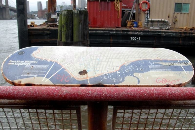
The East River Bikeway and Esplanade
Inscription.
The East River Bikeway and Esplanade, when complete, will create a new East River waterfront promenade for New York City. It will run from Pier A at the Battery to connect with the existing esplanade at the end of East 63rd Street, which extends to 125th Street.
The Bikeway and Esplanade will be an exciting link in the future East Coast Greenway/Bikeway system. This multi-state program will create a waterfront bike route from Boston to Washington D.C.
This first stage, “Between the Bridges”, was designed by Carr, Lynch & Sandell and built in 1997 by the New York City Economic Development Corporation.
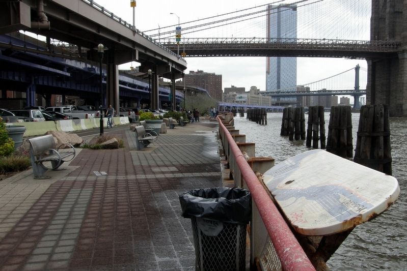
From here, the esplanade south brings you under the famous Brooklyn Bridge to Peck Slip. Beyond that, lies the South Street Seaport, the Wall Street Piers, the Staten Island ferry and Battery Park. To the north is Market Street, the Manhattan Bridge, Pike Slip and Rutgers Street. A connection past the existing Piers 35, 36 and 42 leads to East River Park.
Topics. This historical marker is listed in these topic lists: Entertainment • Roads & Vehicles • Waterways & Vessels. A significant historical year for this entry is 1997.
Location. 40° 42.421′ N, 74° 0.053′ W. Marker is in Manhattan, New York, in New York County. It is in the Financial District. Marker can be reached from South Street near Peck Slip, on the right when traveling north. Touch for map. Marker is at or near this postal address: East River Bikeway and Esplanade, New York NY 10038, United States of America. Touch for directions.
Other nearby markers. At least 8 other markers are within walking distance of this marker. Peck Slip (a few steps from this marker); Lower East Side - Peck Slip (a few steps from this marker); Lower East Side – 1767 (a few steps from this marker); Jerry Driscoll Walk (a few steps from this marker); Fulton Fish Waist - 142 Beekman Street (about 500 feet away, measured in a direct line); 247 Water Street (about 500 feet away); Seaman’s Church Institute (about 600 feet away); 206 Front Street (about 600 feet away). Touch for a list and map of all markers in Manhattan.
Credits. This page was last revised on January 31, 2023. It was originally submitted on June 1, 2019, by Larry Gertner of New York, New York. This page has been viewed 119 times since then and 10 times this year. Photos: 1, 2, 3. submitted on June 1, 2019, by Larry Gertner of New York, New York. • Bill Pfingsten was the editor who published this page.


