West End in Cincinnati in Hamilton County, Ohio — The American Midwest (Great Lakes)
Camp Joy
Side A
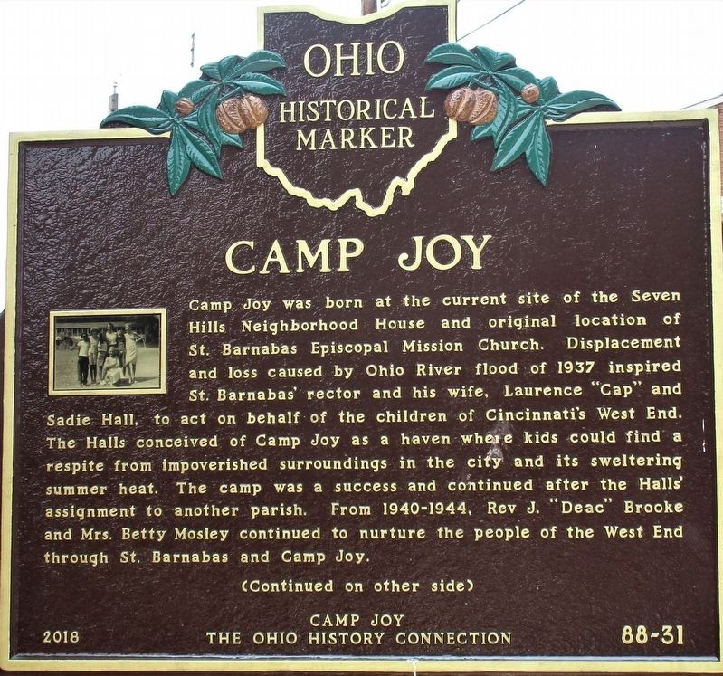
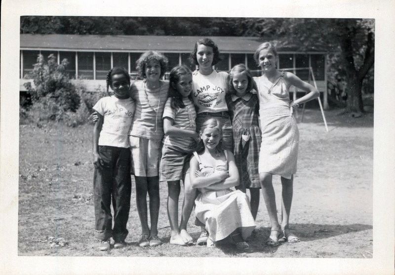
Camp Joy was born at the site of Seven Hills Neighborhood House and original location of St. Barnabas Episcopal Mission Church. Displacement and loss caused by Ohio River flood of 1937 inspired St. Barnabas’ rector and his wife, Laurence “Cap” and Sadie Hall, to act on behalf of the children of Cincinnati’s West End. The Halls conceived of Camp Joy as a haven where kids could find a respite from impoverished surroundings in the city and its sweltering summer heat. The camp was a success and continued after the Hall’s assignment to another parish. From 1940-1944, Rev J. Brooke and Mrs. Betty Mosley continued to nurture the people of the West End through St. Barnabas and Camp Joy.
Side B
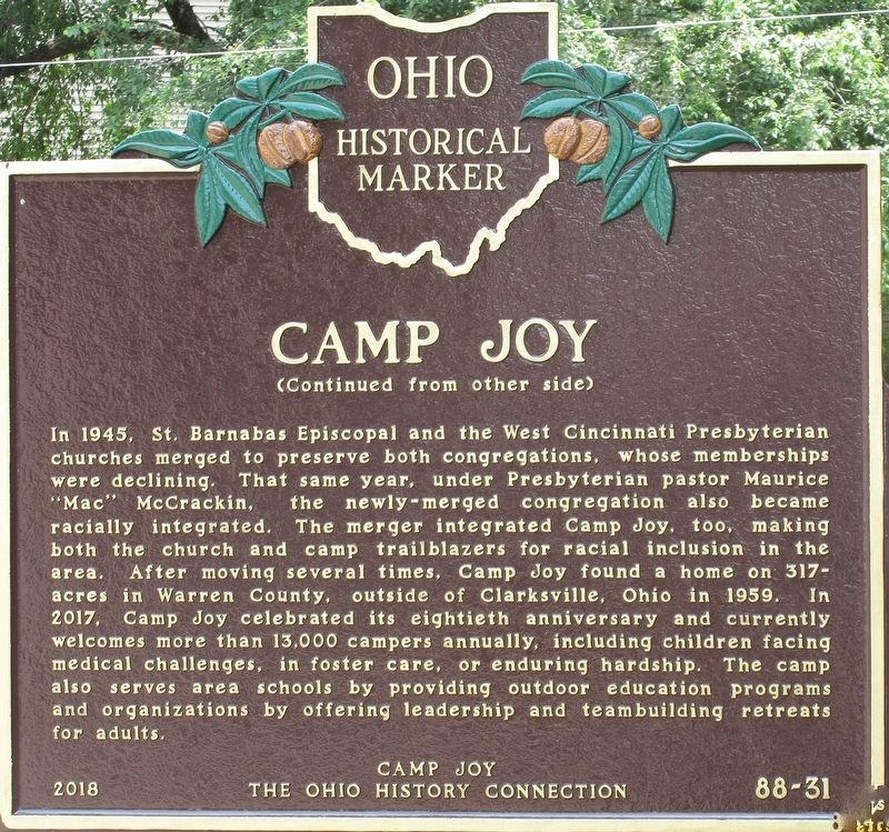
In 1945, St. Barnabas Episcopal and the West Cincinnati Presbyterian churches merged to preserve both congregations, whose memberships were declining. Under Presbyterian pastor Maurice “Mac” McCrackin the newly merged congregation voted in 1947 to integrate and welcome its Black neighbors. The merger integrated Camp Joy, too, making both church and camp trailblazers for integration in the area. After moving several times, Camp Joy found a home on 317 acres in Warren County, west of Clarkesville (Clinton County) in 1959. In 2017, Camp Joy celebrated its eightieth anniversary and welcomes more than 13,000 campers annually, including children facing medical challenges, in foster care, or enduring hardship. The camp also serves area schools by providing outdoor education programs and businesses by offering leadership and teambuilding retreats.
Erected 2018 by Camp Joy and The Ohio History Connection. (Marker Number 88-31.)
Topics and series. This historical marker is listed in these topic lists: Charity & Public Work • Churches & Religion • Parks & Recreational Areas. In addition, it is included in the Ohio Historical Society / The Ohio History Connection series list.
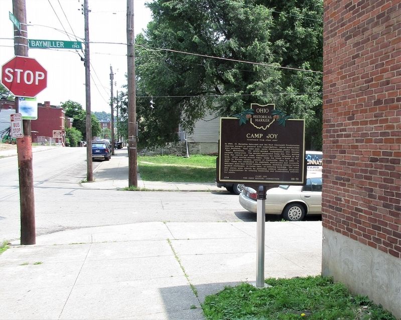
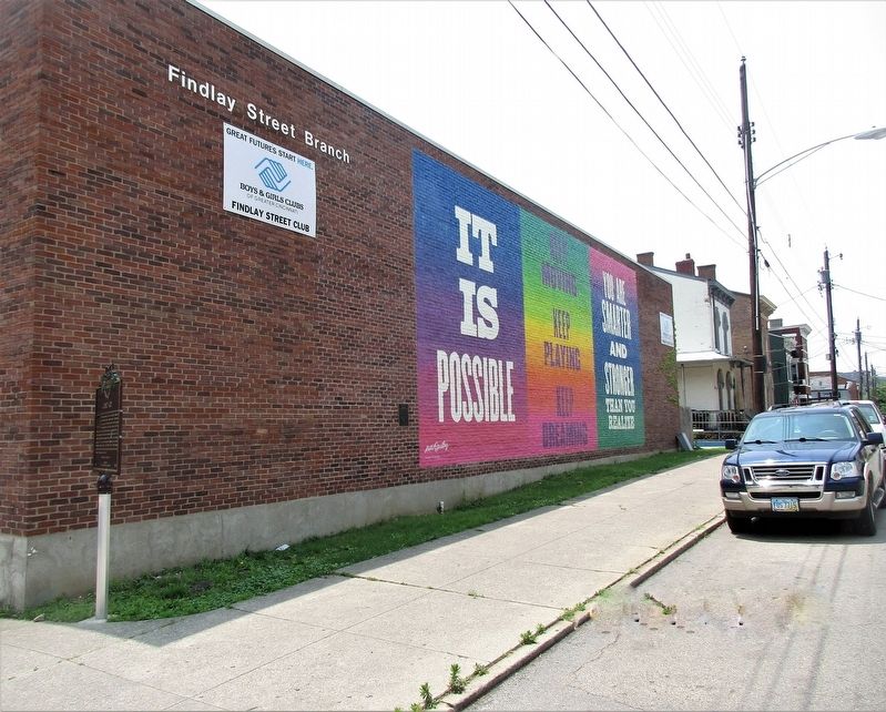
Location. 39° 6.97′ N, 84° 31.766′ W. Marker is in Cincinnati, Ohio, in Hamilton County. It is in West End. Marker is at the intersection of Findlay Street and Baymiller Street, on the right when traveling east on Findlay Street. Touch for map. Marker is at or near this postal address: 901 Findlay Street, Cincinnati OH 45214, United States of America. Touch for directions.
Other nearby markers. At least 8 other markers are within walking distance of this marker. Crosley Field (approx. 0.4 miles away); Mohawk Honor Roll (approx. 0.4 miles away); Site of Home Plate Crosley Field (approx. 0.4 miles away); Cincinnati Breweries / Remaining Brewery Structures (approx. 0.4 miles away); Cincinnati Public Markets / The Northern Liberties (approx. half a mile away); Laurel-Lincoln World War II Memorial (approx. half a mile away); Anti-German Hysteria (approx. half a mile away); Site of Home Field of First Pro Baseball Team (approx. 0.6 miles away). Touch for a list and map of all markers in Cincinnati.
More about this marker. Marker is incorrectly numbered
Credits. This page was last revised on February 4, 2023. It was originally submitted on June 5, 2019, by Rev. Ronald Irick of West Liberty, Ohio. This page has been viewed 459 times since then and 43 times this year. Photos: 1, 2, 3, 4, 5. submitted on June 5, 2019, by Rev. Ronald Irick of West Liberty, Ohio. • Bill Pfingsten was the editor who published this page.
