Lockland- Wyoming Train Station
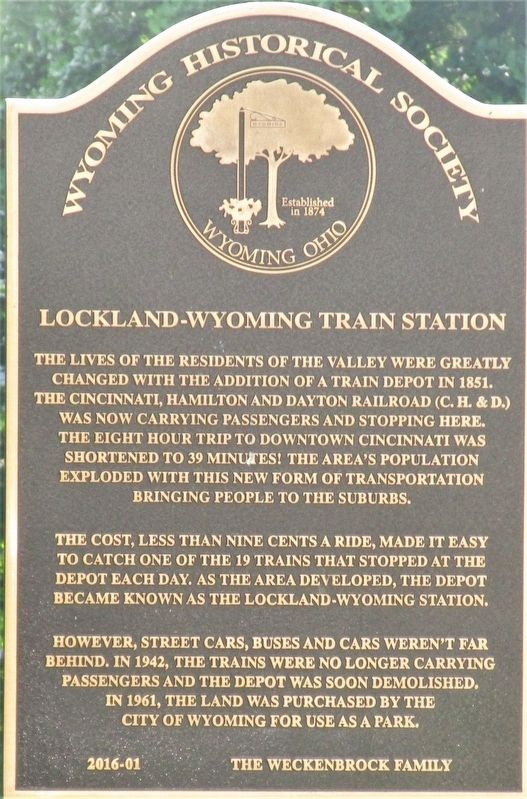
The lives of the residents of the valley were greatly changed with the addition of the train depot in 1851. The Cincinnati, Hamilton and Dayton Railroad (C.H.&D.) was now carrying passengers and stopping here. The eight hour trip to downtown Cincinnati was shortened to 39 minutes! The area’s population exploded with this new form of transportation bringing people to the suburbs.
The cost, less than nine cents a ride, made it easy to catch one of the 19 trains that stopped at the depot each day. As the area developed, the depot became known as the Lockland-Wyoming Station.
However, street cars buses and cars weren’t far
behind. In 1942, the trains were no longer carrying
passengers and the depot was soon demolished.
In 1961, the land was purchased by the
City of Wyoming for use as a park.
Erected 2016 by The Weckenbrock Family. (Marker Number 2016-1.)
Topics. This historical marker is listed in this topic list: Railroads & Streetcars.
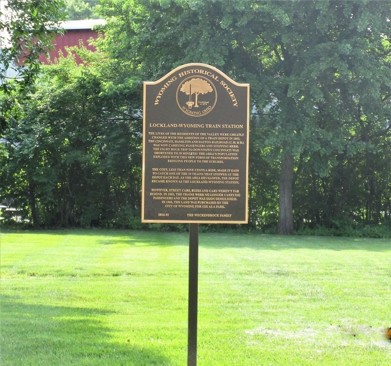
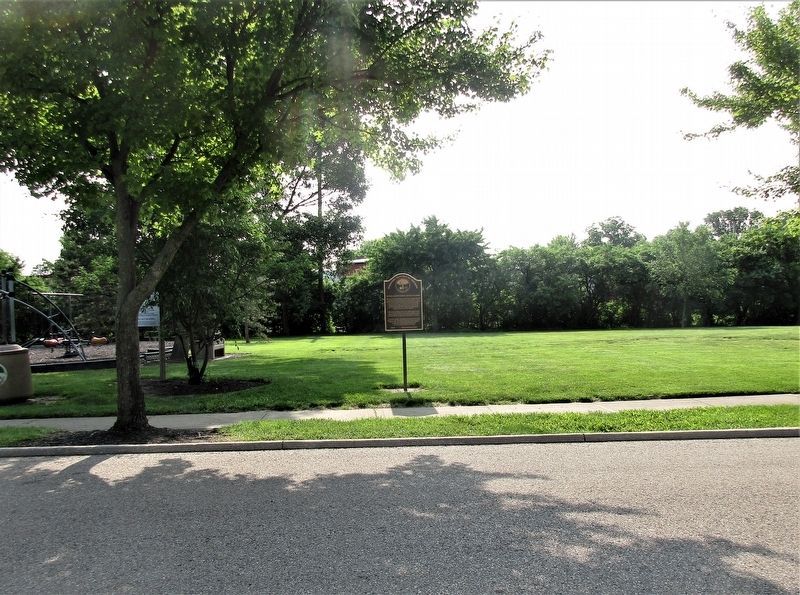
Location. 39° 13.566′ N, 84° 27.92′ W. Marker is in Wyoming, Ohio, in Hamilton County. Marker is at the intersection of Crescent Avenue and Poplar Street, on the left when traveling south on Crescent Avenue. marker is in Crescent Park,
Other nearby markers. At least 8 other markers are within walking distance of this marker. Wyoming Avenue Business District (about 500 feet away, measured in a direct line); Spreen’s Corner (approx. 0.4 miles away); Doughboy (approx. 0.4 miles away); Robert Reily (approx. 0.4 miles away); Milestone (approx. 0.4 miles away); Linden Drive (approx. 0.4 miles away); Stearns and Foster Company (approx. 0.4 miles away); Canal Days in Lockland / Miami & Erie Canal (approx. 0.7 miles away). Touch for a list and map of all markers in Wyoming.
Credits. This page was last revised on June 10, 2019. It was originally submitted on June 8, 2019, by Rev. Ronald Irick of West Liberty, Ohio. This page has been viewed 375 times since then and 47 times this year. Photos: 1, 2, 3, 4. submitted on June 8, 2019, by Rev. Ronald Irick of West Liberty, Ohio. • Andrew Ruppenstein was the editor who published this page.


