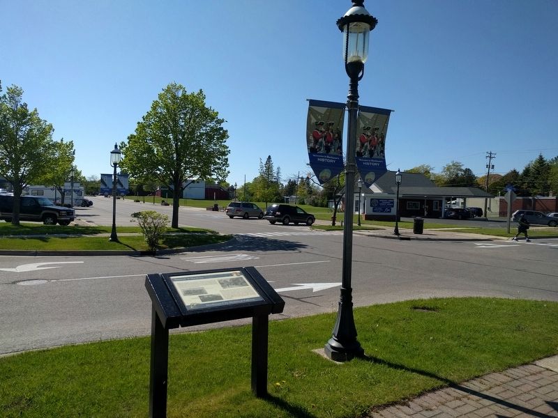
Mackinaw City in Cheboygan County, Michigan — The American Midwest (Great Lakes)
Tourism at Mackinac
Mackinaw City Historical Pathway
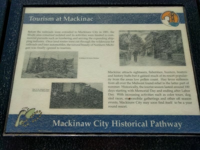
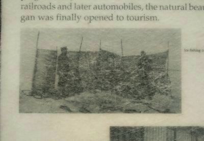
Before the railroads were extended to Mackinaw City in 1881, the Straits area remained isolated and its activities were limited to commercial pursuits such as lumbering and serving the expanding shipping industry. Once land routes were cut through the wilderness for railroads and later automobiles, the natural beauty of Northern Michigan was finally opened to tourism.
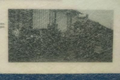
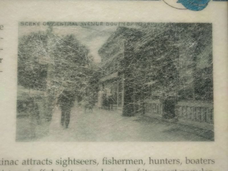
Mackinac attracts sightseers, fishermen, hunters, boaters and history buffs but it gained much of its resort popularity from the areas low pollen count. Hay fever sufferers from all over the Midwest found relief in the latter part of summer. Historically, the tourist season lasted around 100 days starting with Memorial Day and ending after Labor Day. With increasing activities such as color tours, dog sled races, snowmobile gatherings and other off season events, Mackinaw City may soon find itself to be a year round resort. (Marker Number 42.)
Topics. This historical marker is listed in these topic lists: Entertainment • Industry & Commerce. A significant historical year for this entry is 1881.
Location. 45° 46.893′ N, 84° 43.793′ W. Marker is in Mackinaw City, Michigan, in Cheboygan County. Marker is at the intersection of East Central Avenue and Ducharme Street, on the left when traveling west on East Central Avenue. Touch for map. Marker is in this post office area: Mackinaw City MI 49701, United States of America. Touch for directions.
Other nearby markers. At least 8 other markers are within walking distance of this marker. French House Ruin, 1765-1781 (about 300 feet away, measured in a direct line); French House Ruin, 1765 - 1781 (about 300 feet away); The Barnett Building (about 300 feet away); Winter at Mackinac (about 500 feet away); British Colonial Farm 1774 - 1780 (about 600 feet away); Historic Mackinaw City (about 600 feet away); Indians at the Straits (about 700 feet away); Missionaries at Mackinac (approx. 0.2 miles away). Touch for a list and map of all markers in Mackinaw City.
Credits. This page was last revised on June 12, 2019. It was originally submitted on June 12, 2019, by Joel Seewald of Madison Heights, Michigan. This page has been viewed 157 times since then and 6 times this year. Photos: 1, 2, 3, 4, 5. submitted on June 12, 2019, by Joel Seewald of Madison Heights, Michigan.
