Mount Helicon, Saint George, Grenada — Caribbean Region of the Americas (Lesser Antilles of the West Indies)
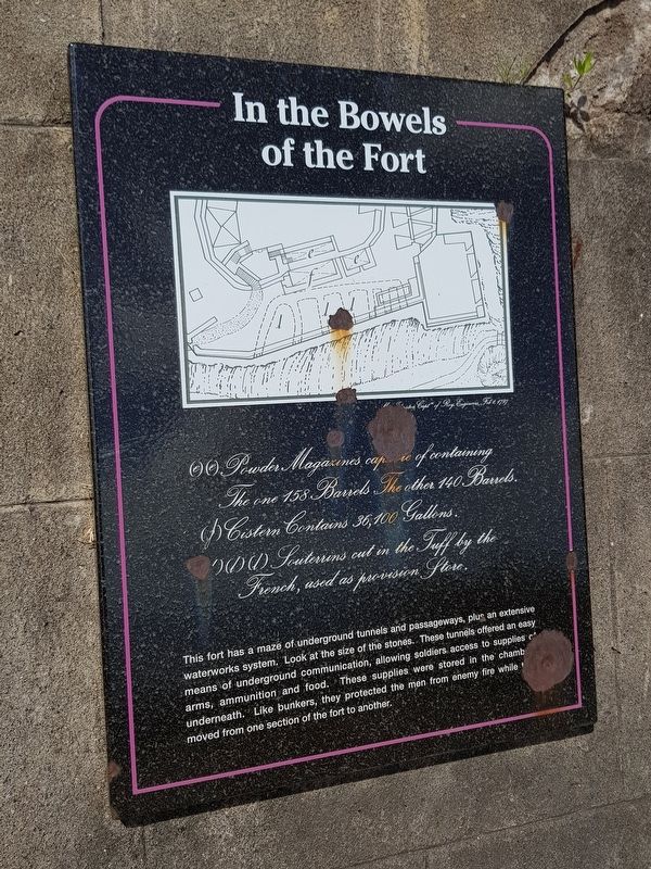
In the Bowels of the Fort
In the Bowels of the Fort
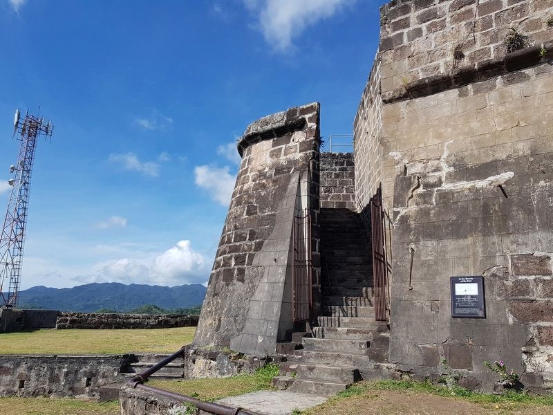
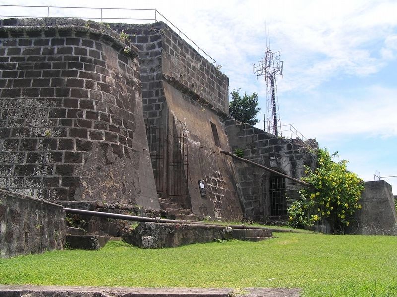
This fort has a maze of underground tunnels and passageways, plus an extensive waterworks system. Look at the size of the stones. These tunnels offered an easy means of underground communication, allowing soldiers access to supplies of arms, ammunition and food. These supplies were stored in the chambers underneath. Like bunkers, they protected the men from enemy fire while they moved from one section of the fort to another.
Captions:
…Johnston Captn of Roy. Engineers, Feb 1, 1797
(e)(e) Powder Magazines capable of containing The one 158 Barrels. The other 140 Barrels.
(f) Cistern Contains 36,100 Gallons.
(l)(l)(l) Souterrins cut in the Tuff by the French, used as provision Store.
Topics. This historical marker is listed in these topic lists: Colonial Era • Forts and Castles • Man-Made Features. A significant historical date for this entry is February 1, 1797.
Location. 12° 2.88′ N, 61° 44.245′ W. Marker is in Mount Helicon, Saint George. Marker can be reached from Richmond Hill just north of Creighton, on the right when traveling north. Touch for map. Touch for directions.
Other nearby markers. At least 8 other markers are within 2 kilometers of this marker, measured as the crow flies. Fort Frederick (within shouting distance of this marker); Backwards Facing Forts (within shouting distance of this marker); Port Louis (1650) (approx. one kilometer away); Marryshow House (approx. 1.3 kilometers away); Grenada Seamen and Waterfront Workers’ Union (approx. 1.5 kilometers away); Destruction of the Bianca C (approx. 1.5 kilometers away); St. George's Methodist Church (approx. 1.6 kilometers away); Grenada National Museum (approx. 1.7 kilometers away).
Credits. This page was last revised on June 18, 2019. It was originally submitted on June 12, 2019, by J. Makali Bruton of Accra, Ghana. This page has been viewed 154 times since then and 15 times this year. Photos: 1, 2. submitted on June 12, 2019, by J. Makali Bruton of Accra, Ghana. 3. submitted on June 18, 2019, by J. Makali Bruton of Accra, Ghana. 4. submitted on June 12, 2019, by J. Makali Bruton of Accra, Ghana.


