Central in Denver in Denver County, Colorado — The American Mountains (Southwest)
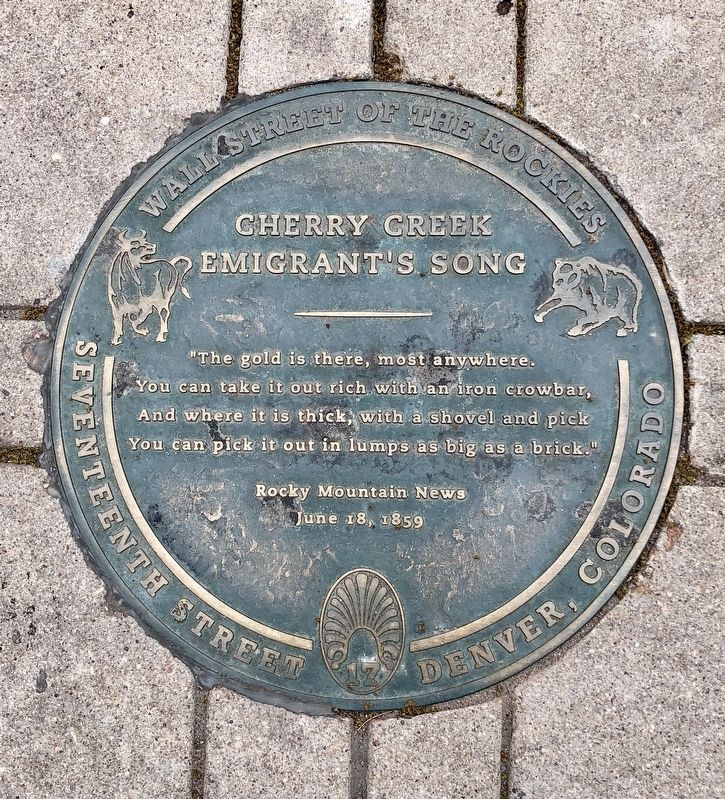
Cherry Creek Emigrant's Song
Wall Street of the Rockies
— Seventeenth Street Denver, Colorado —
The gold is there, most anywhere. You can take it out rich with an iron crowbar, And where it is thick, with a shovel and a pick
You can pick it out in lumps as big as a brick."
June 18, 1859
Erected by Walk of Fame International. (Marker Number 3e.)
Topics and series. This historical marker is listed in these topic lists: Natural Resources • Notable Places. In addition, it is included in the Colorado, Denver, Wall Street of the Rockies series list. A significant historical date for this entry is June 18, 1859.
Location. 39° 44.978′ N, 104° 59.724′ W. Marker is in Denver, Colorado, in Denver County. It is in Central. Marker can be reached from the intersection of 17th Street and Lawrence Street, on the left when traveling south. Touch for map. Marker is at or near this postal address: 17th Street, Denver CO 80202, United States of America. Touch for directions.
Other nearby markers. At least 8 other markers are within walking distance of this marker. Private Profits and the Public Good (within shouting distance of this marker); Coal Miner's Daughter (within shouting distance of this marker); Mint Robbery February 1864 (within shouting distance of this marker); Let the Buyer Beware (within shouting distance of this marker); Yo Soy Joaquin (about 300 feet away, measured in a direct line); All Washed Up (about 300 feet away); Rocky Mountain Fashion (about 300 feet away); D&F Tower and Skyline Park (about 300 feet away). Touch for a list and map of all markers in Denver.
Credits. This page was last revised on February 7, 2023. It was originally submitted on June 16, 2019, by Mark Hilton of Montgomery, Alabama. This page has been viewed 265 times since then and 16 times this year. Photos: 1, 2. submitted on June 16, 2019, by Mark Hilton of Montgomery, Alabama.

