Mukilteo in Snohomish County, Washington — The American West (Northwest)
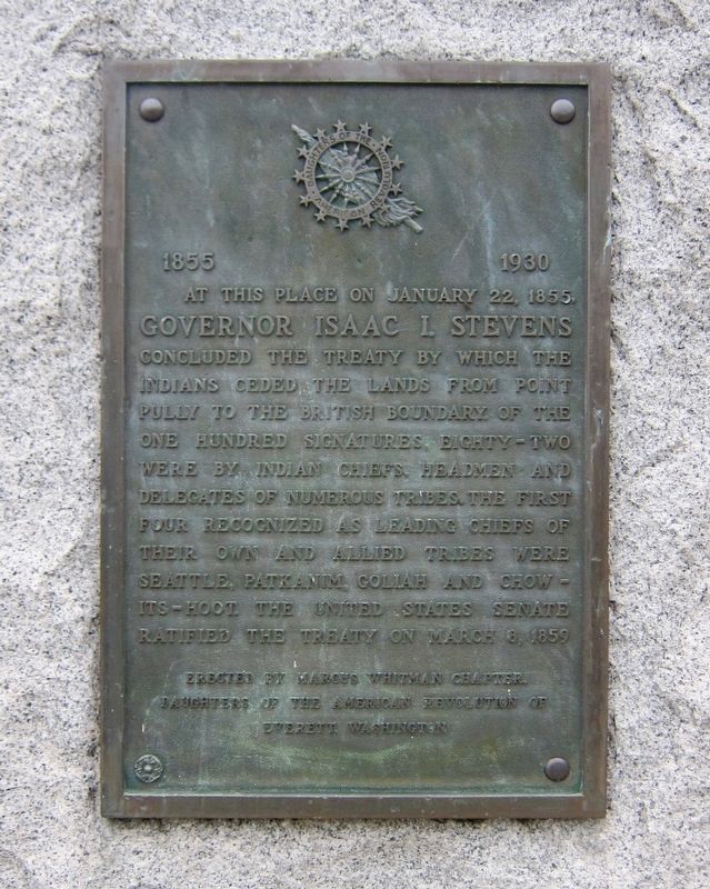
Treaty of Point Elliott
1855 - 1930
Erected 1930 by Daughters of the American Revolution, Marcus Whitman Chapter.
Topics and series. This historical marker is listed in this topic list: Native Americans. In addition, it is included in the Daughters of the American Revolution series list. A significant historical date for this entry is March 8, 1859.
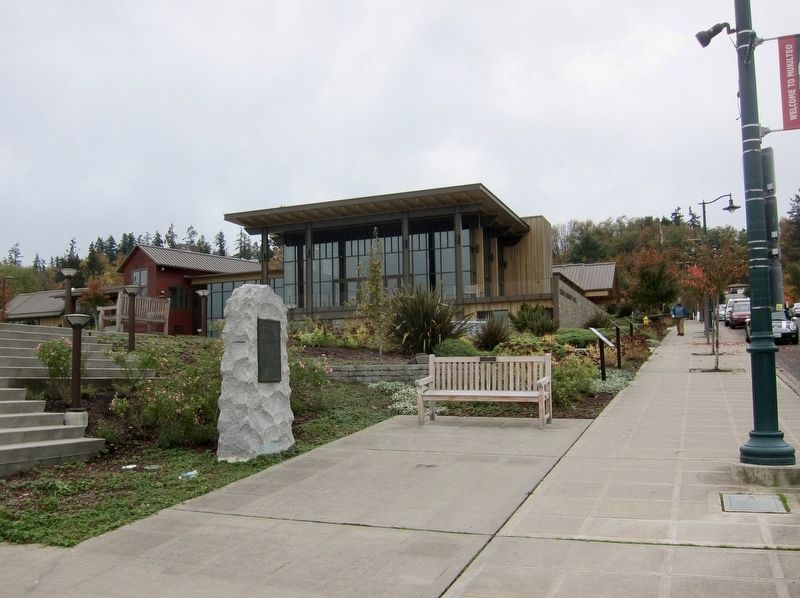
Location. 47° 56.773′ N, 122° 18.204′ W. Marker is in Mukilteo, Washington, in Snohomish County. Marker is at the intersection of Lincoln Avenue and 3rd Street, on the right when traveling north on Lincoln Avenue. Touch for map. Marker is in this post office area: Mukilteo WA 98275, United States of America. Touch for directions.
Other nearby markers. At least 8 other markers are within walking distance of this marker. Light Station and Park (approx. 0.2 miles away); Point Elliott Treaty (approx. 0.2 miles away); Commemorating Signing Point Elliott Treaty (approx. 0.2 miles away); Native Americans (approx. 0.2 miles away); Tradition of Carving (approx. 0.2 miles away); Geology of Mukilteo (approx. 0.2 miles away); Early Explorers (approx. 0.2 miles away); The Keeper's House (approx. 0.2 miles away). Touch for a list and map of all markers in Mukilteo.
Also see . . .
1. Treaty of Point Elliott (Wikipedia). "The Treaty of Point Elliott of 1855, or the Point Elliott Treaty, — also known as Treaty of Point Elliot (with one t) / Point Elliott Treaty — is the lands settlement treaty between the United States government and the Native American tribes of the greater Puget Sound region in the recently formed Washington Territory (March 1853), one of about thirteen treaties between the U.S. and Native Nations in what is now Washington. The treaty was signed on 22 January 1855, at Muckl-te-oh or Point Elliott, now Mukilteo, Washington, and ratified 8 March and 11 April 1859. Between the signing of the treaty and the ratification, fighting continued throughout the region Lands were being occupied by European-Americans since settlement in what became Washington Territory began in earnest from about 1845." (Submitted on June 18, 2019.)
2. Indian treaties (Northwest Power and Conservation Council). (Submitted on June 18, 2019.)
Credits. This page was last revised on October 14, 2020. It was originally submitted on June 18, 2019, by Andrew Ruppenstein of Lamorinda, California. This page has been viewed 357 times since then and 28 times this year. Photos: 1, 2. submitted on June 18, 2019, by Andrew Ruppenstein of Lamorinda, California.

