Bacalar, Quintana Roo, Mexico — The Yucatan Peninsula (The Southeast)
Pre-Columbian Time, End of Period
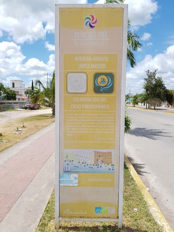
Culminación del Ciclo Prehispánico
In 1526 el Rey de España Carlos I designa a Don Francisco de Montejo para colonizar tierras. De esta manera se instruyó al Capitán Alonso López Dávila, quien funda la Villa Real en 1531 que se localizó en el señorio de Chaktemal pero se abandona por los constantes ataques mayas. No es hasta 1545 cuando los españoles logran vencer a los mayas del señorío de Bak’jalal estableciendo la Villa de Salamanca de Bacalar.
English:
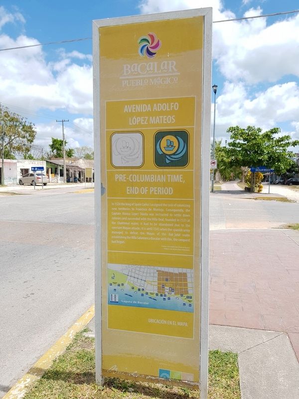
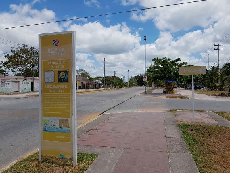
Pre-Columbian Time, End of Period
In 1526 the king of Spain Carlos I assigned the task of colonizing new territories to Francisco de Montejo. Consequently, the Captain Alonso López Dávila was instructed to settle down colonies and succeeded with the Villa Real, founded in 1531 at the Chaktemal realm; it had to be abandoned due to the constant Maya attacks. It is until 1545 when the Spanish army managed to defeat the Mayas of the Bak’jalal realm establishing the Villa Salamanca Bacalar with this, the conquest had begun.
Topics. This historical marker is listed in these topic lists: Colonial Era • Settlements & Settlers • Wars, Non-US. A significant historical year for this entry is 1526.
Location. 18° 40.292′ N, 88° 23.681′ W. Marker is in Bacalar, Quintana Roo. Marker is at the intersection of Avenida Adolfo López Mateos and Calle 8, on the right when traveling north on Avenida Adolfo López Mateos. Touch for map. Marker is in this post office area: Bacalar QR 77930, Mexico. Touch for directions.
Other nearby markers. At least 8 other markers are within walking distance of this marker. Bacalar - 1729 (about 90 meters away, measured in a direct line); Bel Itzá, or Path of the Itzaes (about 120 meters away); Bacalar (about 150 meters away); a different marker also named Bacalar (about 150 meters away); Cenotes, Fresh Water Supply (about 210 meters away); a different marker also named Bacalar (approx. 0.3 kilometers away); K'atunes or Periods of History (approx. 0.4 kilometers away); Pre-Columbian Bacalar, Foundation (approx. 0.6 kilometers away). Touch for a list and map of all markers in Bacalar.

Photographed By J. Makali Bruton, March 31, 2019
4. The additional, nearby marker on Bacalar
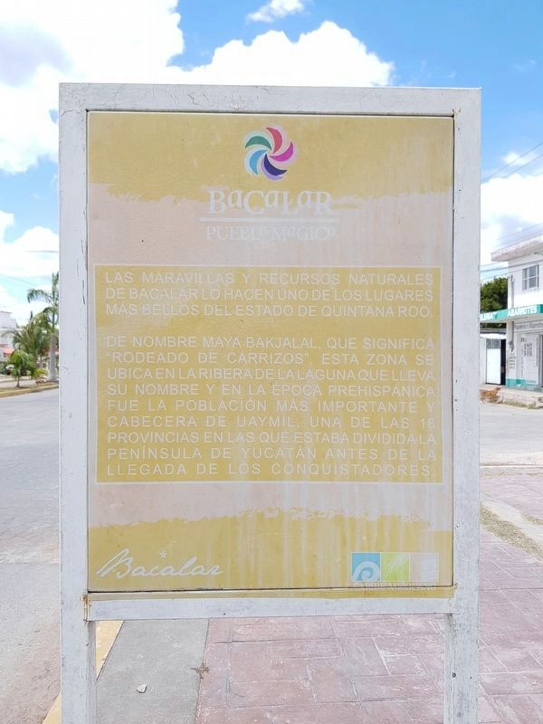
The wonders and natural resources of Bacalar make it one of the most beautiful places in the state of Quintana Roo. Named by the Mayas as Bakjalal, which means "surrounded by reeds", this area is located on the banks of the lagoon that bears its name and in the pre-Hispanic era was the most important population and capital of Uaymil, one of the 16 provinces in which the Yucatan Peninsula was divided before the arrival of the Conquistadores.
Credits. This page was last revised on June 22, 2019. It was originally submitted on June 19, 2019, by J. Makali Bruton of Accra, Ghana. This page has been viewed 70 times since then and 3 times this year. Photos: 1, 2, 3. submitted on June 19, 2019, by J. Makali Bruton of Accra, Ghana. 4. submitted on June 22, 2019, by J. Makali Bruton of Accra, Ghana.


