Franklin in Williamson County, Tennessee — The American South (East South Central)
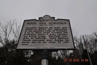
Hood and Schofield
Nov. 30, 1864
Erected by Tennessee Historical Commission. (Marker Number 3D 11.)
Topics and series. This historical marker is listed in this topic list: War, US Civil. In addition, it is included in the Tennessee Historical Commission series list. A significant historical date for this entry is November 30, 1864.
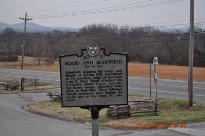
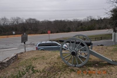
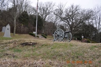
Location. 35° 53.318′ N, 86° 52.667′ W. Marker is in Franklin, Tennessee, in Williamson County. Marker is on Columbia Pike (U.S. 31) 0.2 miles south of Mack C. Hatcher Memorial Parkway (U.S. 31), on the right when traveling south. Marker is in Winstead Hill Park. Touch for map. Marker is in this post office area: Franklin TN 37064, United States of America. Touch for directions.
Other nearby markers. At least 8 other markers are within walking distance of this marker. Tennessee, A Grave or a Free Home (a few steps from this marker); 3" Ordnance Gun (a few steps from this marker); Freeman's Battery, Forrest's Artillery (a few steps from this marker); Our Ancestors (a few steps from this marker); a different marker also named Tennessee (a few steps from this marker); Mississippi (a few steps from this marker); To The Soldiers Of Florida (a few steps from this marker); Alabama (within shouting distance of this marker). Touch for a list and map of all markers in Franklin.
Credits. This page was last revised on June 28, 2019. It was originally submitted on December 28, 2012, by Sandra Hughes Tidwell of Killen, Alabama, USA. This page has been viewed 735 times since then and 25 times this year. Last updated on June 26, 2019, by Larry Gertner of New York, New York. Photos: 1, 2, 3, 4. submitted on December 28, 2012, by Sandra Hughes Tidwell of Killen, Alabama, USA. 5. submitted on June 18, 2019, by Larry Gertner of New York, New York. • Bernard Fisher was the editor who published this page.


