Near Ringgold in Catoosa County, Georgia — The American South (South Atlantic)
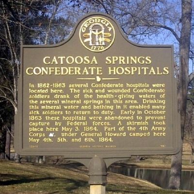
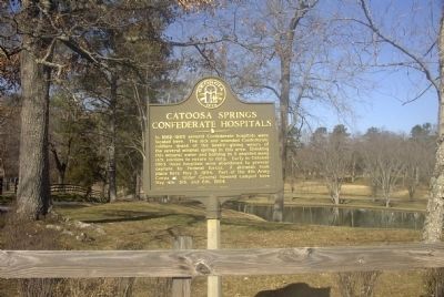
Catoosa Springs Confederate Hospitals
Erected 1987 by Georgia Department of Natural Resources. (Marker Number 023-13.)
Topics and series. This historical marker is listed in these topic lists: Natural Resources • War, US Civil. In addition, it is included in the Georgia Historical Society series list. A significant historical month for this entry is May 1833.
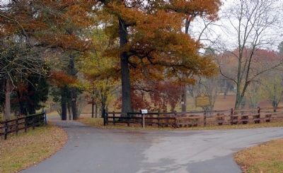
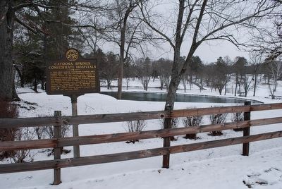
Location. 34° 54.825′ N, 85° 3.308′ W. Marker is near Ringgold, Georgia, in Catoosa County. Marker is on Keith Road (County Route 1286) 0.6 miles north of Catoosa Parkway (Georgia Route 2), on the left when traveling north. Touch for map. Marker is in this post office area: Ringgold GA 30736, United States of America. Touch for directions.
Other nearby markers. At least 8 other markers are within 2 miles of this marker, measured as the crow flies. Old Federal Road (approx. 1.3 miles away); Old Stone Presbyterian Church (approx. 1.3 miles away); Trail of Tears Memorial (approx. 1.4 miles away); Stone Church (approx. 1.4 miles away); Stone Church And Catoosa Station (approx. 1.4 miles away); Cherokee Springs Confederate Hospital (approx. 1.8 miles away); Campaign for Atlanta Began Here (approx. 1.9 miles away); 4th Corps' Route to Tunnel Hill (approx. 2 miles away). Touch for a list and map of all markers in Ringgold.
Credits. This page was last revised on June 16, 2016. It was originally submitted on September 23, 2008, by David Seibert of Sandy Springs, Georgia. This page has been viewed 2,901 times since then and 52 times this year. Last updated on November 16, 2008, by David Seibert of Sandy Springs, Georgia. Photos: 1, 2. submitted on September 23, 2008, by David Seibert of Sandy Springs, Georgia. 3. submitted on November 16, 2008, by David Seibert of Sandy Springs, Georgia. 4. submitted on August 31, 2015, by Brandon Fletcher of Chattanooga, Tennessee. • Craig Swain was the editor who published this page.


