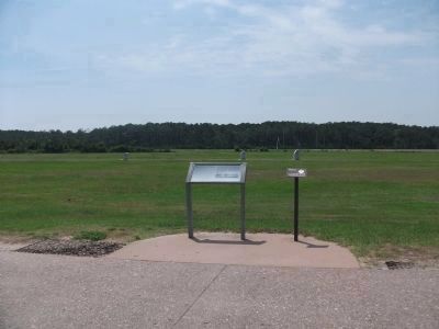
Kill Devil Hills in Dare County, North Carolina — The American South (South Atlantic)
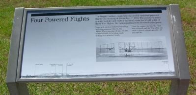
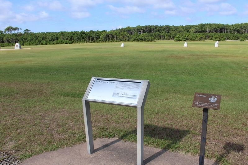
Four Powered Flights
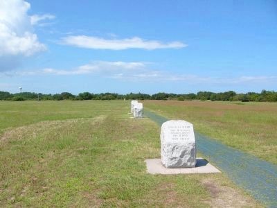
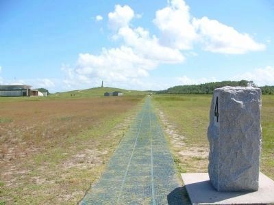
Since soft sand prohibited launching with conventional wheels, the Wright Flyer was placed on a 60-foot monorail with its landing skids resting on a wheeled truck.
Once the engine started, the Flyer was released and slid down the rail until it gained enough speed to lift into the air.
Erected by U.S. Department of the Interior, National Park Service, Wright Brothers National Memorial.
Topics. This historical marker is listed in these topic lists: Air & Space • Notable Events. A significant historical date for this entry is December 17, 1903.
Location. 36° 1.212′ N, 75° 40.091′ W. Marker is in Kill Devil Hills, North Carolina, in Dare County. Marker can be reached from Wright Memorial Road west of Croatan Highway, on the right when traveling west. Touch for map. Marker is in this post office area: Kill Devil Hills NC 27948, United States of America. Touch for directions.
Other nearby markers. At least 8 other markers are within walking distance of this marker. Field for Flight (here, next to this marker); The First Flight (within shouting distance of this marker); Wind, Sand, & Isolation (within shouting distance of this marker); Home Away From Home (within shouting distance of this marker); First Flights: December 17th, 1903 (within shouting distance of this marker); The Camp (within shouting distance of this marker); Commemoration (within shouting distance of this marker); The First Successful Flight of an Airplane (within shouting distance of this marker). Touch for a list and map of all markers in Kill Devil Hills.
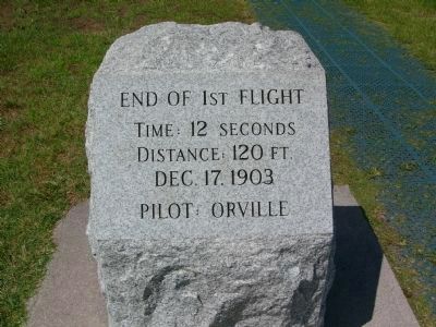
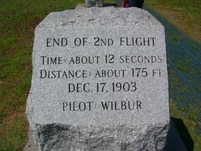
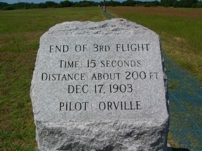
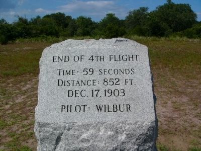
More about this marker. Along the bottom of the marker is a drawing identifying the Lift-off point, the length of the first flight (12 seconds, 120 feet), the length of the second flight (12 seconds, 175 feet), the length of the third flight (15 seconds, 200 feet), and the length of the fourth flight (59 seconds, 852 feet).
Also see . . . Wright Brothers National Memorial. National Park Service (Submitted on September 26, 2021.)
Credits. This page was last revised on September 26, 2021. It was originally submitted on August 1, 2008, by Kevin W. of Stafford, Virginia. This page has been viewed 1,512 times since then and 24 times this year. Last updated on July 5, 2019, by Craig Baker of Sylmar, California. Photos: 1. submitted on July 31, 2008, by Kevin W. of Stafford, Virginia. 2. submitted on September 26, 2021, by Tom Bosse of Jefferson City, Tennessee. 3, 4, 5, 6, 7, 8. submitted on July 30, 2008, by Kevin W. of Stafford, Virginia. 9. submitted on June 13, 2010, by Patrick G. Jordan of Graham, North Carolina. • Andrew Ruppenstein was the editor who published this page.
