Near Pleasureville in Henry County, Kentucky — The American South (East South Central)
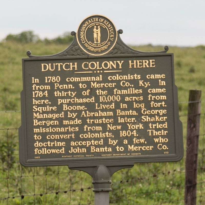
Dutch Colony Here
Erected 1965 by Kentucky Historical Society and Kentucky Department of Highways. (Marker Number 852.)
Topics and series. This historical marker is listed in this topic list: Settlements & Settlers. In addition, it is included in the Communal and Utopian Societies, and the Kentucky Historical Society series lists. A significant historical year for this entry is 1780.
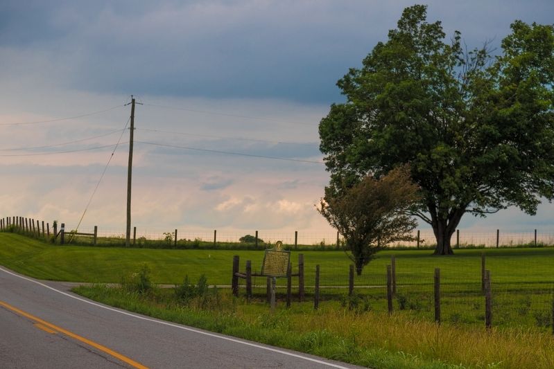
Location. 38° 20.977′ N, 85° 5.684′ W. Marker is near Pleasureville, Kentucky, in Henry County. Marker is on Castle Highway (U.S. 421) south of Main Street (Route 241), on the left when traveling south. Touch for map. Marker is in this post office area: Pleasureville KY 40057, United States of America. Touch for directions.
Other nearby markers. At least 8 other markers are within 9 miles of this marker, measured as the crow flies. Old Pollard Inn (approx. 3.9 miles away); Confederate Soldiers Monument (approx. 4.7 miles away); Eminence College Site / Rev. W.S. Giltner (approx. 4.8 miles away); Grand United Order of Odd Fellows (approx. 7.1 miles away); County Named, 1798 (approx. 7.1 miles away); Drennon Springs (approx. 7.4 miles away); Civil War Actions (approx. 7˝ miles away); Brownlea Farms (approx. 8.8 miles away).
Also see . . . Low Dutch Settlements In Kentucky.
The formation of The Low Dutch Company enabled the purchase in 1784 of about 3,000 acres in what is now Henry and Shelby Counties for the proposed colony. Indian attacks forced the members to abandon the first settlement in 1785 and flee to the relative safety of Mercer and Clark Counties. In the spring of 1786 the company purchased 6,000 acres adjacent to their original holdings from Squire Boone, brother of Daniel Boone, selling off approximately 1,350 acres to help finance the investment. In March 1786 the members formally signed the articles of agreement. All land was held in common, with all profits or losses to be shared equally. The tract, straddled the boundary of Shelby and Henry Counties totaling more than 7,600 acres. It was divided into 34 lots of varying sizes, from 200 acres and upward and allocated to members. Farm plots were assigned to individuals and their families, but actual legal title was held by the Company, which combined the elements of a modern business corporation, cooperative, religious congregation and commune. Remarkably some descendants of this colony still reside on a portion of the original purchase today. The Company appointed a trustee whose duty it was to look after all the estate and keep records.(Submitted on July 6, 2019, by J. J. Prats of Powell, Ohio.)
Actual first settlement of the tract did not begin until about 1790 at Bantatown, later Pleasureville. Dutch and non-Dutch families moved in, purchasing land adjacent to the colony, but did not join the Company. From the beginning there were problems with conflicting land claims over the tract purchased from Squire Boone. This resulted in numerous law suits with financial loss to the Company. In 1813 a claim for more than a thousand acres was decided against the Company requiring them to repurchase the land. In 1820 the Company lost more land, including that upon which Bantatown was located. Other suits were filed by the Company to reclaim land from the heirs of original members who were holding tracts in private ownership.
In addition, one of the primary objectives of the Company had been to establish a Dutch Reformed Church and obtain a Dutch Reformed minister. This failed and members defected to other churches, primarily the Presbyterians who were in harmony with their Calvinistic beliefs but also the Baptists and Methodists. Eventually some of the Low Dutch descendants would found the religious movement known as the Shakers.
Beginning in 1817, families started moving away from the colony, first to Switzerland County, IN and then Johnson County, IN, where farmland was $1.25 an acre. This period was referred to as "the exodus." The Company was dissolved in 1831. Title to the land was transferred by deed to individual owners from about 1831 to 1839.
Credits. This page was last revised on July 6, 2019. It was originally submitted on July 6, 2019, by J. J. Prats of Powell, Ohio. This page has been viewed 557 times since then and 61 times this year. Photos: 1, 2. submitted on July 6, 2019, by J. J. Prats of Powell, Ohio.

