Manchester in Adams County, Ohio — The American Midwest (Great Lakes)
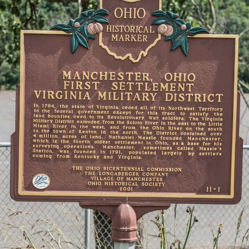
Manchester, Ohio
First Settlement, Virginia Military District
Erected 2001 by the Ohio Bicentennial Commission, the Longaberger Company, Village of Manchester, and The Ohio Historical Society. (Marker Number 11-1.)
Topics. This historical marker is listed in this topic list: Settlements & Settlers. A significant historical year for this entry is 1784.
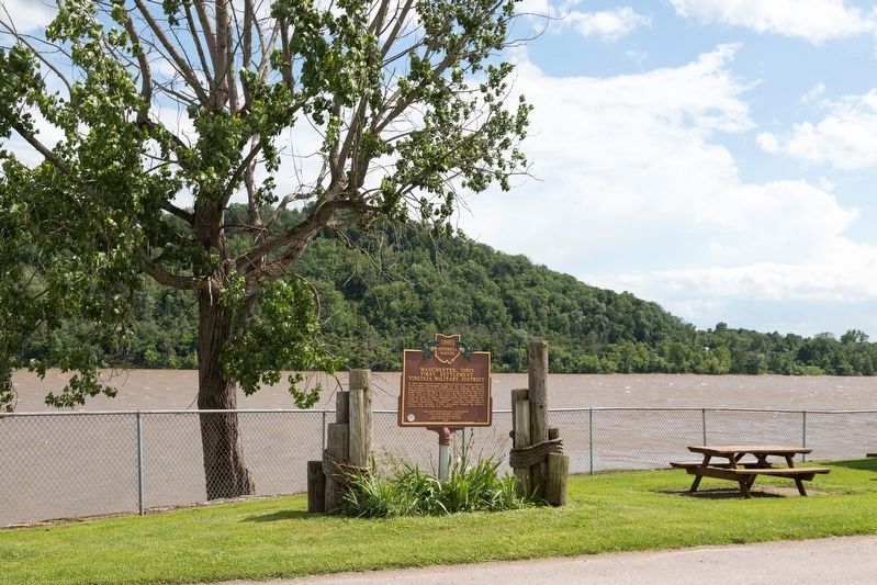
Location. 38° 41.145′ N, 83° 36.59′ W. Marker is in Manchester, Ohio, in Adams County. Marker is at the intersection of West Front Street and Pearl Street, on the right when traveling west on West Front Street. It is next to the picnic pavilion and observation tower. Touch for map. Marker is in this post office area: Manchester OH 45144, United States of America. Touch for directions.
Other nearby markers. At least 8 other markers are within 8 miles of this marker, measured as the crow flies. A different marker also named Manchester (about 500 feet away, measured in a direct line); Massie’s Station (approx. 0.8 miles away); Joseph Moore (approx. 0.9 miles away); Jeremiah Ellis (approx. 0.9 miles away); Buckeye Station (approx. 4.2 miles away); The Bentonville Anti-Horse Thief Society (approx. 4˝ miles away); Cabin Creek Bridge / Covered Bridges (approx. 5.3 miles away in Kentucky); Maysville G.A.R. Monument (approx. 7.3 miles away in Kentucky). Touch for a list and map of all markers in Manchester.
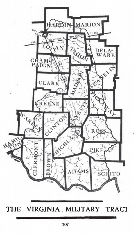
Also see . . . Virginia Military District. “Virginia had historic claims to much of the Northwest Territory, which included Ohio, dating from its colonial charter. Virginia and the other states ceded their claims over western lands to overcome other states' objections to ratifying the Articles of Confederation. In return for ceding its claims in 1784, Virginia was granted this area to provide military bounty land grants. The Ohio district was a surplus reserve, in that military land grants were first made in an area southeast of the Ohio River, in what is now Kentucky. The Ohio land was to be used only after the land southeast of the river was exhausted.” (Submitted on July 11, 2019.)
Credits. This page was last revised on July 11, 2019. It was originally submitted on July 11, 2019, by J. J. Prats of Powell, Ohio. This page has been viewed 570 times since then and 79 times this year. Photos: 1, 2, 3. submitted on July 11, 2019, by J. J. Prats of Powell, Ohio.


