Near Livingston in Overton County, Tennessee — The American South (East South Central)
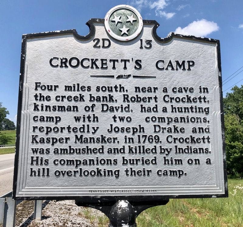
Crockett's Camp
Erected by Tennessee Historical Commission. (Marker Number 2D-13.)
Topics and series. This historical marker is listed in these topic lists: Cemeteries & Burial Sites • Colonial Era • Native Americans • Waterways & Vessels. In addition, it is included in the Tennessee Historical Commission series list. A significant historical year for this entry is 1769.
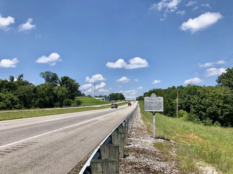
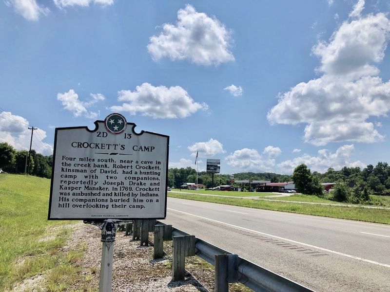
Location. 36° 19.977′ N, 85° 21.232′ W. Marker is near Livingston, Tennessee, in Overton County. Marker is on Cookeville Highway (Tennessee Route 111) half a mile north of East Howard Road, on the right when traveling north. Touch for map. Marker is in this post office area: Livingston TN 38570, United States of America. Touch for directions.
Other nearby markers. At least 8 other markers are within 4 miles of this marker, measured as the crow flies. Heart of Controversy (approx. 2˝ miles away); Hartsaw Cove Farm (approx. 2.8 miles away); Camp Zollicoffer (approx. 3.2 miles away); Overton County Courthouse (approx. 3.9 miles away); a different marker also named Overton County Courthouse (approx. 3.9 miles away); Specialist 4 James T. Davis (approx. 3.9 miles away); Staff Sergeant Loval E. Ayers (approx. 3.9 miles away); Overton County Veterans Memorial (approx. 3.9 miles away). Touch for a list and map of all markers in Livingston.
Credits. This page was last revised on December 17, 2019. It was originally submitted on July 13, 2019, by Mark Hilton of Montgomery, Alabama. This page has been viewed 826 times since then and 237 times this year. Photos: 1, 2, 3. submitted on July 13, 2019, by Mark Hilton of Montgomery, Alabama.


