Touristville in Wayne County, Kentucky — The American South (East South Central)
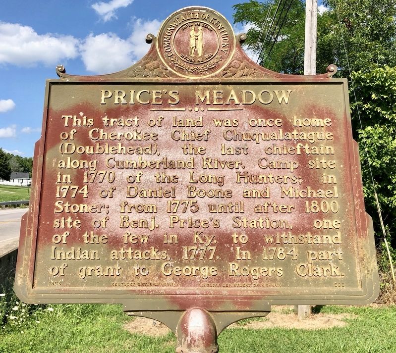
Price's Meadow
Erected 1966 by Kentucky Historical Society, Kentucky Department of Highways. (Marker Number 988.)
Topics and series. This historical marker is listed in these topic lists: Native Americans • Settlements & Settlers. In addition, it is included in the Kentucky Historical Society series list. A significant historical year for this entry is 1770.
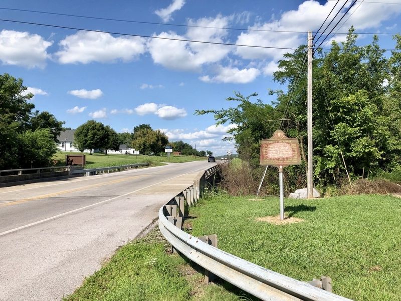
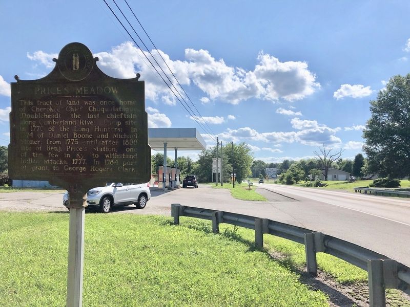
Location. 36° 55.622′ N, 84° 45.468′ W. Marker is in Touristville, Kentucky, in Wayne County. Marker is on Kentucky Route 90, 0.2 miles north of Kentucky Route 1275, on the right when traveling north. Touch for map. Marker is in this post office area: Monticello KY 42633, United States of America. Touch for directions.
Other nearby markers. At least 8 other markers are within 2 miles of this marker, measured as the crow flies. Mill Springs (approx. 1.2 miles away); Home, Headquarters, Hospital (approx. 1.2 miles away); Mill Springs and the Civil War (approx. 1.3 miles away); The Battle of Mill Springs (approx. 1.3 miles away); The Cumberland River (approx. 1.3 miles away); The West-Metcalfe House (approx. 1.3 miles away); a different marker also named West-Metcalfe House (approx. 1.3 miles away); The Noble Ellis Saves an Army (approx. 1.9 miles away).
Also see . . . Wikipedia article on "Doublehead/". (Submitted on July 15, 2019, by Mark Hilton of Montgomery, Alabama.)
Credits. This page was last revised on July 15, 2019. It was originally submitted on July 15, 2019, by Mark Hilton of Montgomery, Alabama. This page has been viewed 723 times since then and 91 times this year. Photos: 1, 2, 3. submitted on July 15, 2019, by Mark Hilton of Montgomery, Alabama.


