Near Bloomfield in Nelson County, Kentucky — The American South (East South Central)
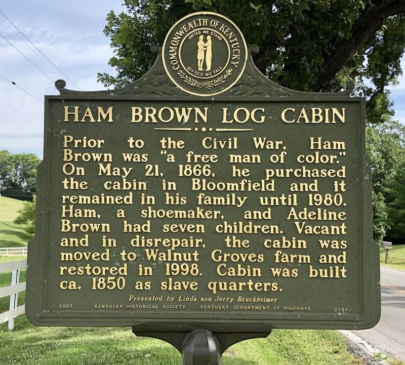
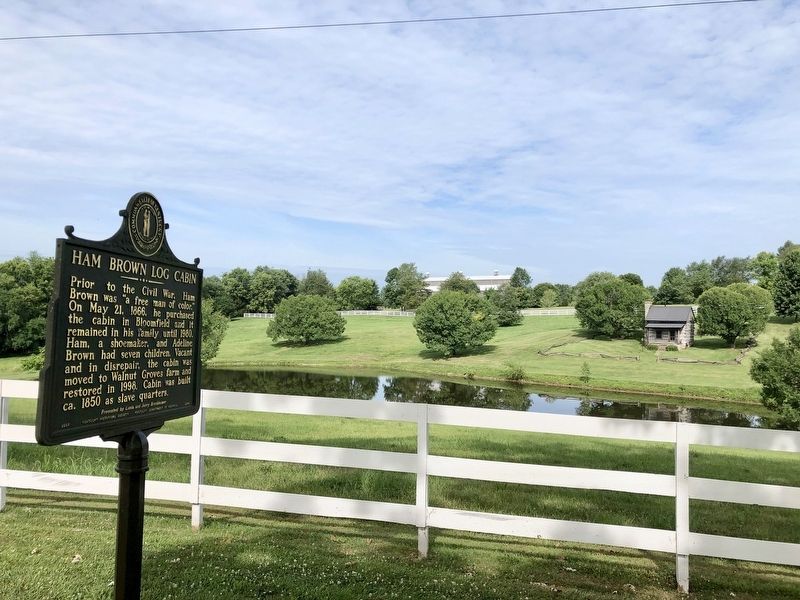
Ham Brown Log Cabin
Erected 2007 by Kentucky Historical Society, Kentucky Department of Highways. (Marker Number 2249.)
Topics and series. This historical marker is listed in these topic lists: African Americans • Notable Buildings. In addition, it is included in the Kentucky Historical Society series list. A significant historical date for this entry is May 21, 1866.
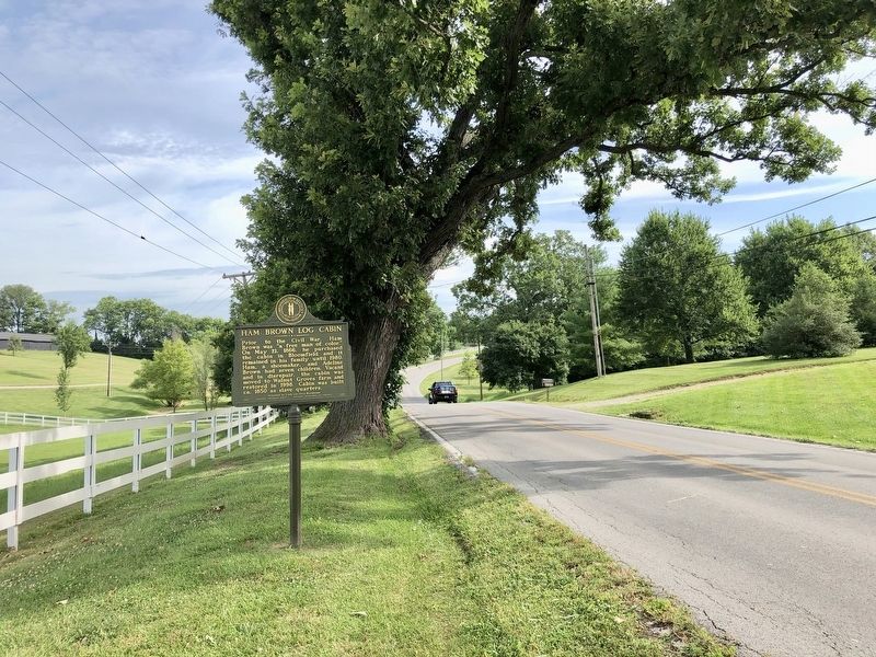
Location. 37° 55.498′ N, 85° 18.936′ W. Marker is near Bloomfield, Kentucky, in Nelson County. Marker is on Taylorsville Road (Kentucky Route 55), on the right when traveling south. Touch for map. Marker is at or near this postal address: 960 Taylorsville Road, Bloomfield KY 40008, United States of America. Touch for directions.
Other nearby markers. At least 8 other markers are within 8 miles of this marker, measured as the crow flies. Walnut Groves Farm (about 800 feet away, measured in a direct line); Romantic 1825 Tragedy (approx. 0.6 miles away); Guerrilla Quantrill (approx. 3.3 miles away); Kincheloe's Station (approx. 4.9 miles away); Camp Charity (approx. 6.3 miles away); The Spy Who Saved the Union (approx. 7˝ miles away); County Named, 1824 (approx. 7˝ miles away); Spencer House (approx. 7˝ miles away). Touch for a list and map of all markers in Bloomfield.
Credits. This page was last revised on July 17, 2019. It was originally submitted on July 17, 2019, by Mark Hilton of Montgomery, Alabama. This page has been viewed 1,268 times since then and 109 times this year. Photos: 1, 2, 3. submitted on July 17, 2019, by Mark Hilton of Montgomery, Alabama.


