Taylorsville in Spencer County, Kentucky — The American South (East South Central)
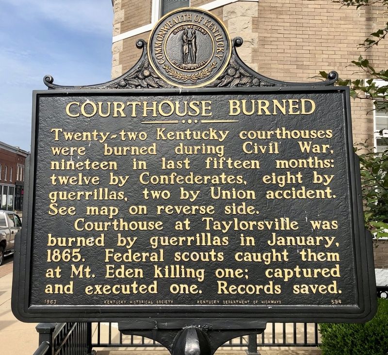
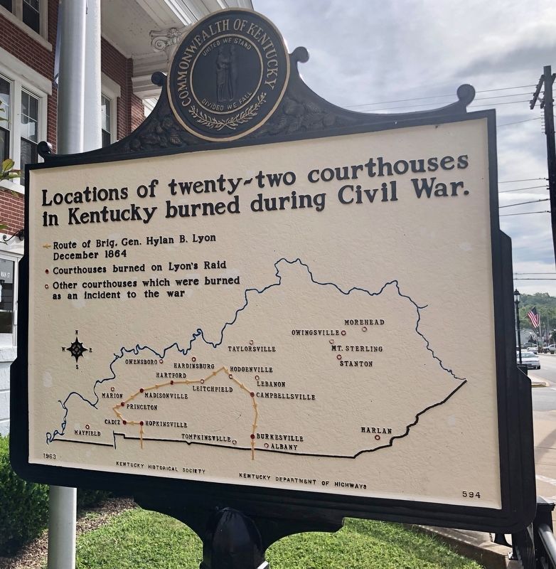
Courthouse Burned
Erected 1963 by Kentucky Historical Society, Kentucky Department of Highways. (Marker Number 594.)
Topics and series. This historical marker is listed in these topic lists: Notable Buildings • War, US Civil. In addition, it is included in the Kentucky Historical Society series list. A significant historical month for this entry is January 1865.
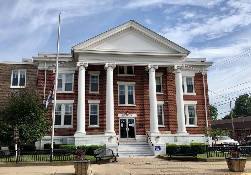
Location. 38° 1.874′ N, 85° 20.7′ W. Marker is in Taylorsville, Kentucky, in Spencer County. Marker is at the intersection of West Main Street (Kentucky Route 44) and Main Cross, on the right when traveling west on West Main Street. Touch for map. Marker is at or near this postal address: 2 West Main Street, Taylorsville KY 40071, United States of America. Touch for directions.
Other nearby markers. At least 8 other markers are within 8 miles of this marker, measured as the crow flies. Spencer House (within shouting distance of this marker); The Spy Who Saved the Union (approx. ¼ mile away); County Named, 1824 (approx. 0.3 miles away); Taylorsville (approx. 0.6 miles away); "Vaucluse" (approx. 2 miles away); Guerrilla Quantrill (approx. 4½ miles away); James Morrison Heady (approx. 4.7 miles away); Ham Brown Log Cabin (approx. 7½ miles away). Touch for a list and map of all markers in Taylorsville.
Credits. This page was last revised on July 17, 2019. It was originally submitted on July 17, 2019, by Mark Hilton of Montgomery, Alabama. This page has been viewed 336 times since then and 32 times this year. Photos: 1, 2, 3. submitted on July 17, 2019, by Mark Hilton of Montgomery, Alabama.


