Near Carlisle in Nicholas County, Kentucky — The American South (East South Central)
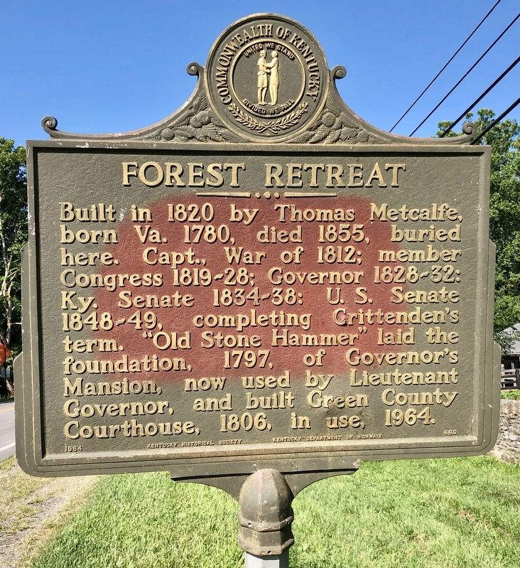
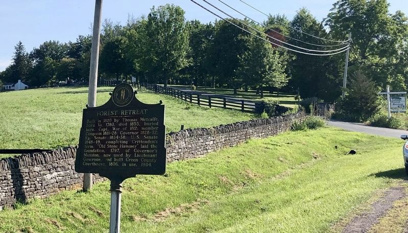
Forest Retreat
Erected 1964 by Kentucky Historical Society, Kentucky Department of Highways. (Marker Number 660.)
Topics and series. This historical marker is listed in these topic lists: Settlements & Settlers • War of 1812. In addition, it is included in the Kentucky Historical Society series list. A significant historical year for this entry is 1820.
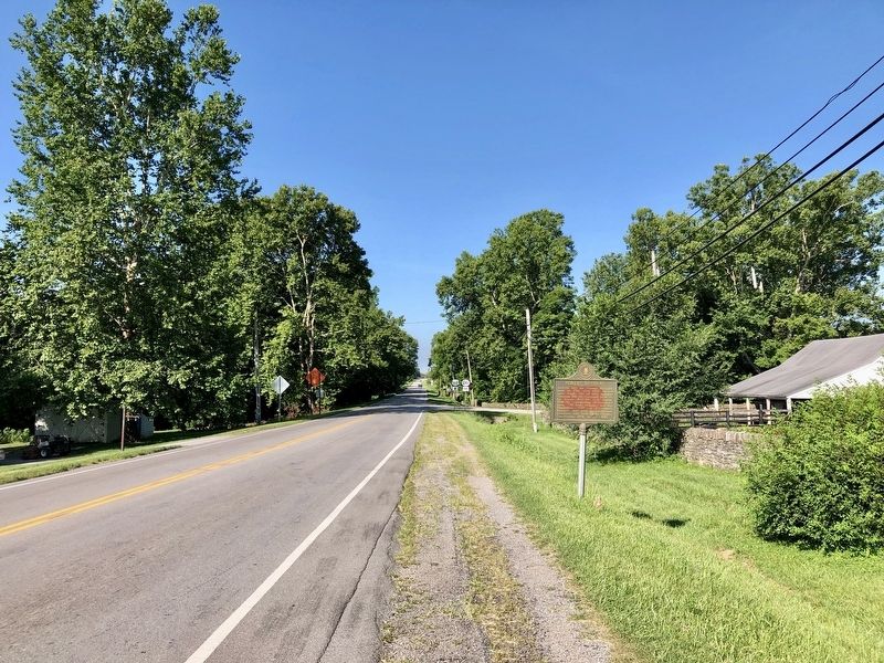
Location. 38° 20.144′ N, 84° 3.613′ W. Marker is near Carlisle, Kentucky, in Nicholas County. Marker is on Maysville Road (U.S. 68) 0.1 miles south of Old Paris Road (State Route 32), on the right when traveling south. Touch for map. Marker is at or near this postal address: 4179 Maysville Road, Carlisle KY 40311, United States of America. Touch for directions.
Other nearby markers. At least 8 other markers are within 5 miles of this marker, measured as the crow flies. Col. Daniel Boone (approx. 0.4 miles away); Dr. Charles W. Mathers 1856-1937 / Nicholas County Benefactor (approx. 2.4 miles away); County Name's Sake (approx. 2.4 miles away); Carlisle Passenger Depot (approx. 2.4 miles away); Old Concord Church (approx. 2˝ miles away); Major John Miller / Millersburg, Kentucky (approx. 4˝ miles away); Tollgate House (approx. 4˝ miles away); Millersburg Military Institute (approx. 5 miles away). Touch for a list and map of all markers in Carlisle.
Credits. This page was last revised on November 5, 2020. It was originally submitted on July 19, 2019, by Mark Hilton of Montgomery, Alabama. This page has been viewed 250 times since then and 22 times this year. Photos: 1, 2, 3. submitted on July 19, 2019, by Mark Hilton of Montgomery, Alabama.


