Winfield in Putnam County, West Virginia — The American South (Appalachia)
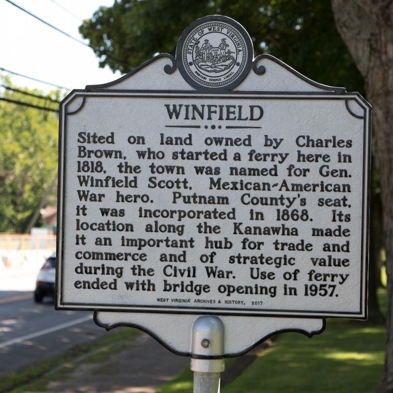
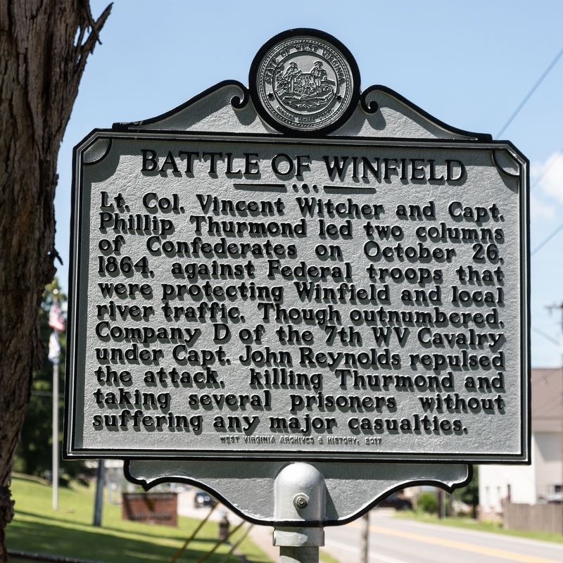
Winfield / Battle of Winfield
Battle of Winfield. Lt. Col. Vincent Witcher and Capt. Phillip Thurmond led two columns of Confederates on October 26, 1864, against Federal troops that were protecting Winfield and local river traffic. Though outnumbered, Company D of the 7th West Virginia Cavalry under Capt. John Reynolds repulsed the attack, killing Thurmond and taking several prisoners without suffering any major casualties.
Erected 2017 by West Virginia Archives and History.
Topics and series. This historical marker is listed in these topic lists: Settlements & Settlers • War, Mexican-American • War, US Civil. In addition, it is included in the West Virginia Archives and History series list. A significant historical date for this entry is October 26, 1864.
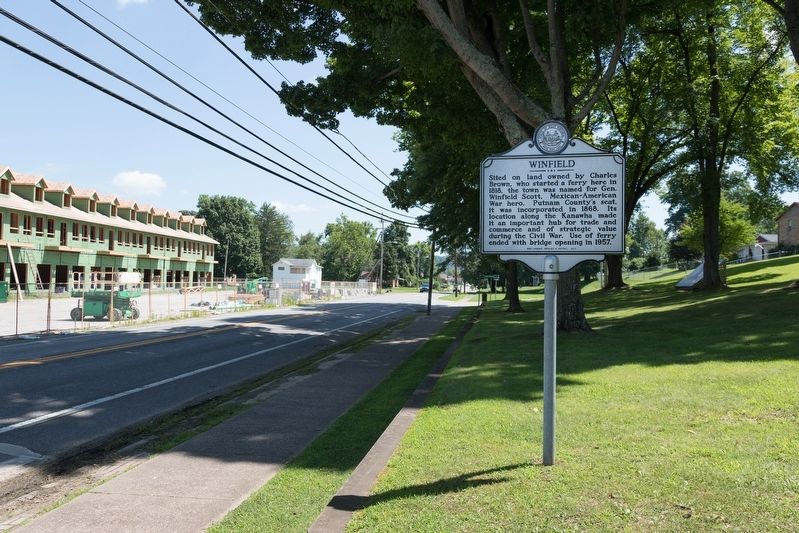
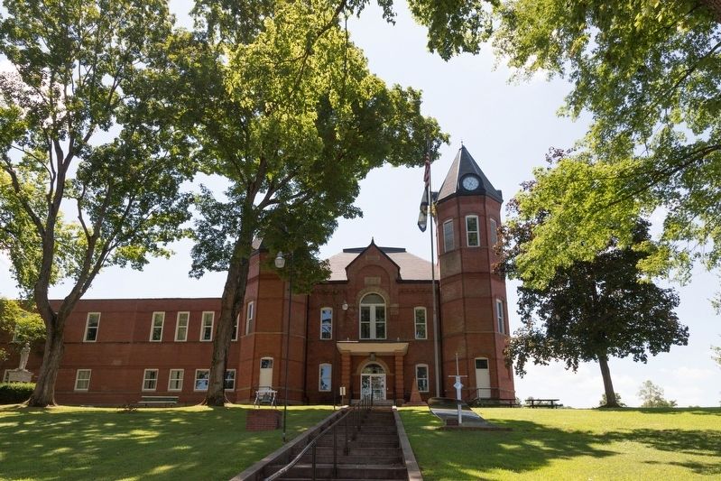
Location. 38° 32.034′ N, 81° 53.544′ W. Marker is in Winfield, West Virginia, in Putnam County. Marker is on Winfield Road (West Virginia Route 817) just north of Courthouse Drive, on the right when traveling south. It is at the courthouse. Touch for map. Marker is in this post office area: Winfield WV 25213, United States of America. Touch for directions.
Other nearby markers. At least 8 other markers are within 2 miles of this marker, measured as the crow flies. Putnam County War Memorial (a few steps from this marker); The Civil War in Putnam County (about 600 feet away, measured in a direct line); Historic Hoge House (approx. 0.2 miles away); Red House Shoals / Civil War Action (approx. 0.9 miles away); Red House (approx. 1.8 miles away); Coal Mining in Putnam County (approx. 1.9 miles away); A Park for the Coal Miner (approx. 1.9 miles away); Andrew & Charles Lewis March (approx. 1.9 miles away). Touch for a list and map of all markers in Winfield.
Credits. This page was last revised on January 9, 2020. It was originally submitted on July 31, 2019, by J. J. Prats of Powell, Ohio. This page has been viewed 594 times since then and 69 times this year. Photos: 1, 2, 3, 4. submitted on July 31, 2019, by J. J. Prats of Powell, Ohio.


