Monroe in Amherst County, Virginia — The American South (Mid-Atlantic)
Battery Creek Lock
As It May Have Looked in the Mid 1800's
Inscription.
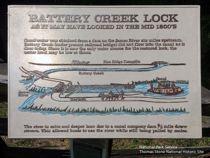
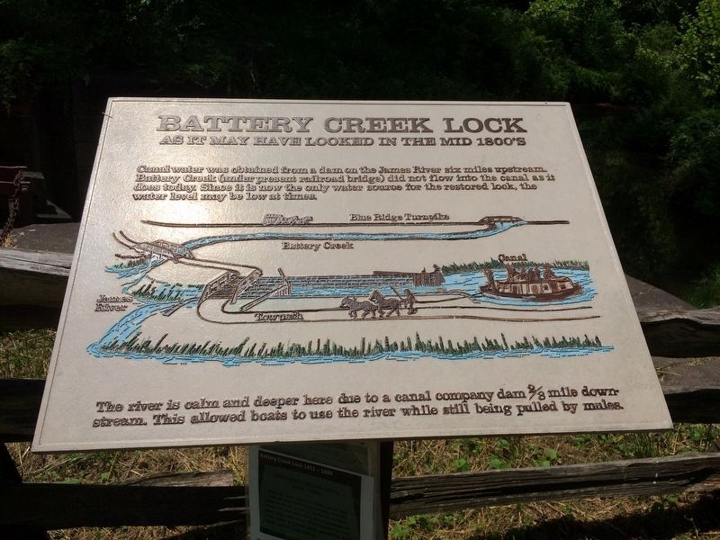
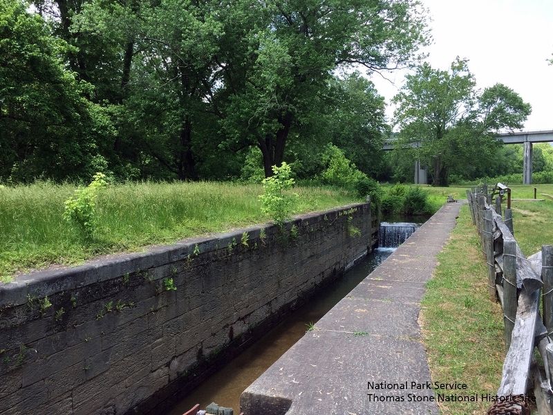
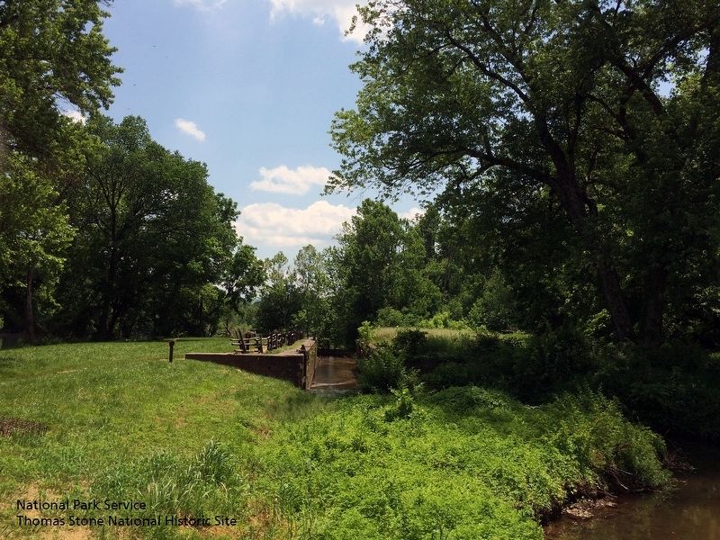
Canal Water was obtained from a dam on the James River six miles upstream. Battery Creek (under the present railroad bridge) did not flow into the canal as is does today. Since it is now the only water source for the restored lock, the water level may be low at times.
The river is calm and deeper here due to a canal dam 2/3 mile downstream. This allowed boats to use the river while still being pulled by mules.
(image)
(not to scale) depicts a carriage on the Blue Ridge Turnpike, the Battery Creek, two bridges, the James River, the Kanawha Canal, and the towpath with two mules pulling a canal boat.
Erected by National Park Service, Blue Ridge Parkway.
Topics. This historical marker is listed in this topic list: Waterways & Vessels.
Location. 37° 33.29′ N, 79° 21.987′ W. Marker is in Monroe, Virginia, in Amherst County. Marker can be reached from Blue Ridge Parkway (at milepost 63.6), 0.3 miles east of Lee Jackson Highway (U.S. 501), on the left when traveling south. 10 minute walk from the James River Visitor Center. Touch for map. Marker is in this post office area: Monroe VA 24574, United States of America. Touch for directions.
Other nearby markers. At least 8 other markers are within 5 miles of this marker, measured as the crow flies. A different marker also named Battery Creek Lock (within shouting distance of this marker); James River (within shouting distance of this marker); A Lock Canal / A Lift Lock (within shouting distance of this marker); Harry F. Byrd Memorial Bridge (within shouting distance of this marker); The Lock Gate (within shouting distance of this marker); A Transportation Corridor (about 300 feet away, measured in a direct line); Water Gap (about 300 feet away); The Courage Of Frank Padget (approx. 5.1 miles away). Touch for a list and map of all markers in Monroe.
Also see . . . Blue Ridge Parkway | James River Canal Trail (MP 63.6). (Submitted on August 6, 2019.)
Credits. This page was last revised on August 6, 2019. It was originally submitted on August 5, 2019. This page has been viewed 487 times since then and 37 times this year. Photos: 1, 2, 3. submitted on August 5, 2019. 4. submitted on August 5, 2019, by David Lassman of Waldorf, Maryland. 5. submitted on August 5, 2019. • Bernard Fisher was the editor who published this page.
