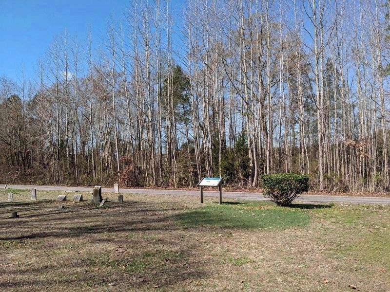
Near Petersburg in Dinwiddie County, Virginia — The American South (Mid-Atlantic)
Ream's Station
First Encounter
— Wilson-Kautz Raid —
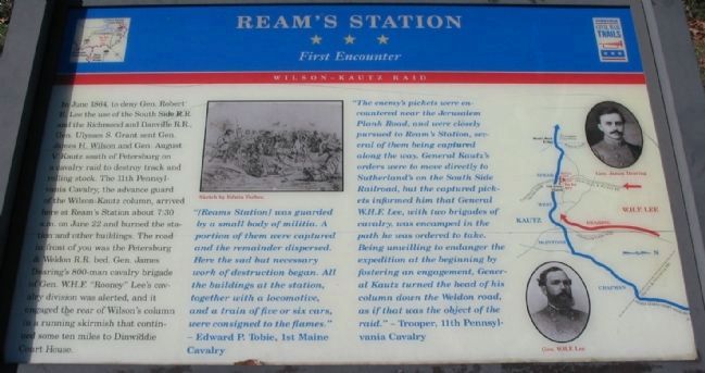
[Reams Station] was guarded by a small body of militia. A portion of them were captured and the remainder dispersed. Here the sad but necessary work of destruction began. All the buildings at the station, together with a locomotive, and a train of five or six cars, were consigned to the flames."
- Edward P. Tobie, 1st Maine Cavalry
"The enemy's pickets were encountered near the Jerusalem Plank Road, and were closely pursued to Ream's Station, several of them being captured along the way. General Kautz's orders were to move directly to Southerland's on the South Side Railroad, but the captured pickets informed him that General W.H.F. Lee, with two brigades of cavalry, was encamped in the path he was ordered to take. Being unwilling to endanger the expedition at the beginning by fostering an engagement, General Kautz turned the head of his column down the Weldon road, as if that was the object of the raid." - Trooper, 11th Pennsylvania Cavalry
Erected by Virginia Civil War Trails.
Topics and series. This historical marker is listed in these topic lists: Railroads & Streetcars • War, US Civil. In addition, it is included in the Virginia Civil War Trails series list. A significant historical date for this entry is June 22, 1864.
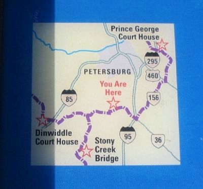
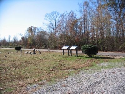
Location. 37° 5.758′ N, 77° 25.244′ W. Marker is near Petersburg, Virginia, in Dinwiddie County. Marker is on Acorn Drive, 0.1 miles south of Oak Grove Road (County Route 606), on the left when traveling south. Located in front of the Oak Grove United Methodist Church. Touch for map. Marker is at or near this postal address: 12715 Acorn Dr, Petersburg VA 23805, United States of America. Touch for directions.
Other nearby markers. At least 8 other markers are within 5 miles of this marker, measured as the crow flies. Second Battle Of Reams Station (about 300 feet away, measured in a direct line); Second Battle of Reams Station (about 400 feet away); a different marker also named Second Battle Of Reams Station (about 800 feet away); North Carolina
(approx. 0.2 miles away); a different marker also named Second Battle Of Reams Station (approx. 0.2 miles away); Fighting At Reams Station (approx. 0.2 miles away); a different marker also named Reams Station (approx. 4.2 miles away); The Petersburg Railroad (approx. 4.3 miles away). Touch for a list and map of all markers in Petersburg.
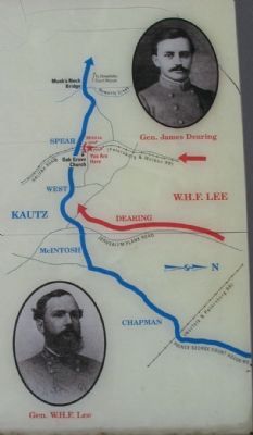
More about this marker. In the upper center is a Sketch by Edwin Forbes of cavalry fighting. On the right is a map showing the course of Kautz's command around W.H.F. Lee's force. Portraits of Gens. Dearing and W.H.F. Lee flank the map.
Photographed By Craig Swain, November 22, 2008
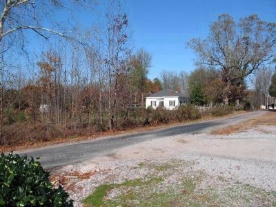
6. Site of Original Reams Station
Acorn Road passes close to old Halifax Road roadbed. The modern day Halifax Road (CR 604) passes along the old road bed for the Weldon Railroad. At the time Reams Station was a building just northwest of the Oak Grove Church. The likely site of the actual station building was north of Oak Grove Road at the intersection of modern Halifax Road, behind the modern dwellings seen here. Modern day Reams Station is further east along the modern route of the railroad.
Photographed By Craig Swain, November 22, 2008
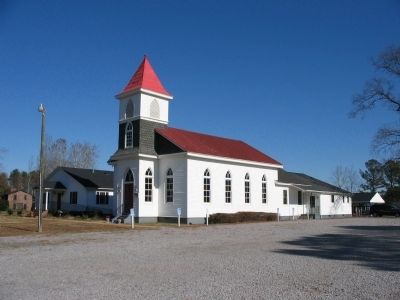
7. Oak Grove United Methodist Church
The original church was a landmark in the June 22 skirmish, the June 29 battle, and the August 25 battle around Reams Station. A new church was built on the foundation of the wartime church. When the new church was built, planks from the original showed musket ball holes and embedded canister balls.
Credits. This page was last revised on March 20, 2024. It was originally submitted on November 23, 2008, by Craig Swain of Leesburg, Virginia. This page has been viewed 1,810 times since then and 51 times this year. Photos: 1, 2, 3, 4. submitted on November 23, 2008, by Craig Swain of Leesburg, Virginia. 5. submitted on March 20, 2024, by Bernard Fisher of Richmond, Virginia. 6, 7. submitted on November 23, 2008, by Craig Swain of Leesburg, Virginia.
