Maplewood in Ramsey County, Minnesota — The American Midwest (Upper Plains)
History in Depth
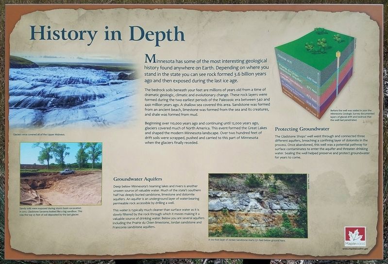
The bedrock soils beneath your feet are millions of years old from a time of dramatic geologic, climatic and evolutionary change. These rock layers were formed during the two earliest periods of the Paleozoic era between 540 and 440 million years ago. A shallow sea covered this area. Sandstone was formed from an ancient beach, limestone was formed from the sea and its creatures, and shale was formed from mud.
Beginning over 110,000 years ago and continuing until 12,000 years ago, glaciers covered much of North America. This event formed the Great Lakes and shaped the modern Minnesota landscape. Over two hundred feet of drift soils were scrapped, pushed and carried to this part of Minnesota when the glaciers finally receded.
Groundwater Aquifers
Deep below Minnesota's teaming lakes and rivers is another unseen source of valuable water. Much of the state's southern half has deeply buried sandstone, limestone and dolomite aquifers. An aquifer is an underground layer of water-bearing permeable rock accessible by drilling a well.
This water is typically much cleaner than surface water as it is slowly filtered by the rock through which it moves making it a valuable source of drinking water. Below you are several aquifers including the Prairie du Chien limestone, Jordan sandstone and Franconia sandstone aquifers.
Caption:
Glaciers once covered all of the Upper Midwest.
Caption:
Sandy soils were exposed during storm basic excavation in 2012. Gladstone Savanna looked like a big sandbox. This was the top 25 feet of soil deposited by the last glacier.
Caption:
Before the well was sealed in 2001 the Minnesota Geological Survey documented layers of glacial drift and bedrock that the well had penetrated.
Caption:
A 100-foot layer of Jordan Sandstone starts 371 feet below ground here.
Protecting Groundwater
The Gladstone Shops' well went through and connected three different aquifers, breaking a confining layer of dolomite in the process. Once abandoned, this well was a potential pathway for surface contaminates to enter the aquifer and threaten drinking water. Sealing the well helped preserve and protect groundwater for years to come.
Erected by City of Maplewood.
Topics. This historical marker is listed in this topic list: Environment.
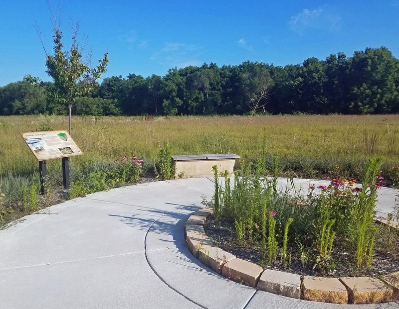
Location. 44° 59.886′ N, 93° 2.861′ W. Marker is in Maplewood, Minnesota, in Ramsey County. Marker can be reached from the intersection of Frost Street and English Street. Marker is at the end of a short spur in the Gladstone Savanna trail system, in the east-central part of the preserve. Touch for map. Marker is in this post office area: Saint Paul MN 55109, United States of America. Touch for directions.
Other nearby markers. At least 8 other markers are within walking distance of this marker. Water: A Well Needed Resource (a few steps from this marker); The Shops at Gladstone (within shouting distance of this marker); Gladstone Savanna's Natural History (about 400 feet away, measured in a direct line); A History of Change (about 400 feet away); Building the "Skally" (about 400 feet away); Destination Lake Phalen (approx. 0.6 miles away); Phalen Regional Park Waterfall (approx. 0.7 miles away); Frost Avenue (approx. 0.7 miles away). Touch for a list and map of all markers in Maplewood.
Credits. This page was last revised on August 12, 2019. It was originally submitted on August 11, 2019, by McGhiever of Minneapolis, Minnesota. This page has been viewed 302 times since then and 19 times this year. Photos: 1, 2. submitted on August 11, 2019, by McGhiever of Minneapolis, Minnesota. • Bill Pfingsten was the editor who published this page.

