Lancaster in Worcester County, Massachusetts — The American Northeast (New England)
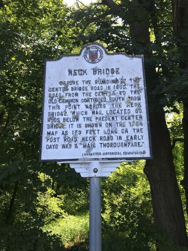
Neck Bridge
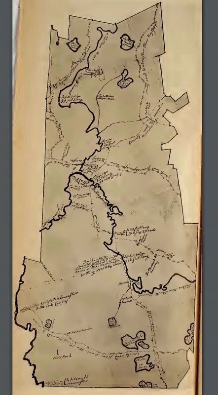
Before the building of the center bridge road in 1800, the road from the center to the old common continued south from this point across the Neck Bridge, which was located 60 rods below the present center bridge. It is shown on the 1794 map as 173 feet long on the post road. Neck Road in early days was a "main thoroughfare."
Erected by Lancaster Historical Commission.
Topics. This historical marker is listed in this topic list: Bridges & Viaducts.
Location. 42° 27.124′ N, 71° 39.9′ W. Marker is in Lancaster, Massachusetts, in Worcester County. Marker is on Neck Road. Touch for map. Marker is at or near this postal address: near 240 Neck Rd, Lancaster MA 01523, United States of America. Touch for directions.
Other nearby markers. At least 8 other markers are within 4 miles of this marker, measured as the crow flies. Site of the Great Elm (approx. half a mile away); Site of Mary Rowlandson’s Capture (approx. 0.6 miles away); Sawyer-Carter Bridge (approx. 1.3 miles away); Rowlandson Rock (approx. 1.3 miles away); a different marker also named Rowlandson Rock (approx. 1.9 miles away); Prescott Grist Mill (approx. 2.4 miles away); Lancaster (approx. 2.8 miles away); Wickapickit Brook and Bridge (approx. 3.6 miles away). Touch for a list and map of all markers in Lancaster.
Credits. This page was last revised on August 15, 2019. It was originally submitted on August 13, 2019, by Darren Brosseau of Fitchburg, Massachusetts. This page has been viewed 316 times since then and 22 times this year. Photos: 1. submitted on August 13, 2019, by Darren Brosseau of Fitchburg, Massachusetts. 2, 3. submitted on August 15, 2019, by J. Makali Bruton of Accra, Ghana. • Bill Pfingsten was the editor who published this page.


