The Quarry Era
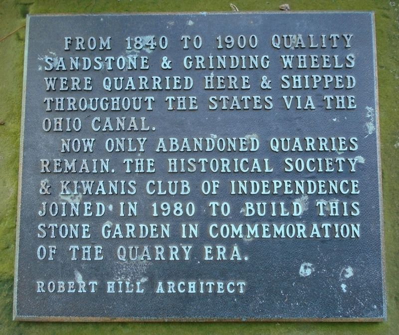
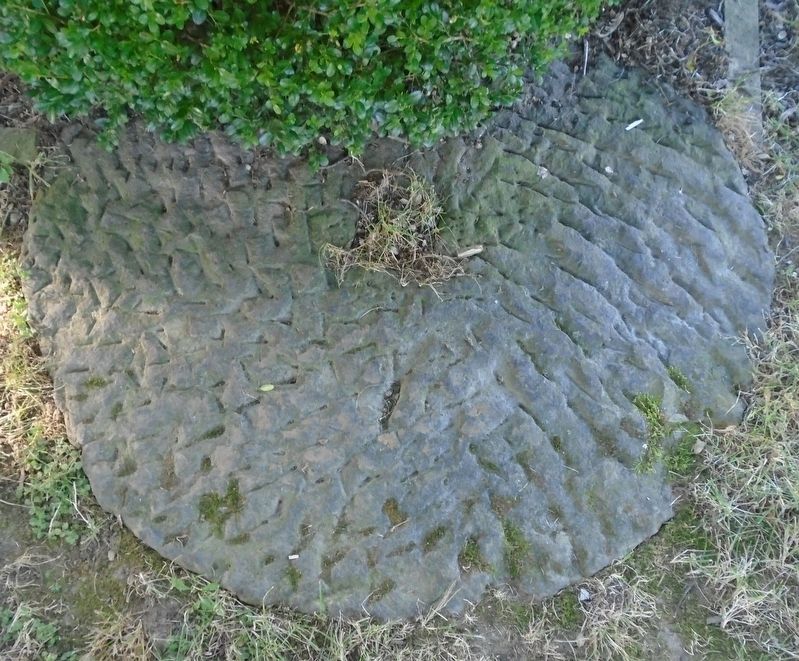
From 1840 to 1900 quality sandstone & grinding wheels were quarried here & shipped throughout the States via the Ohio Canal.
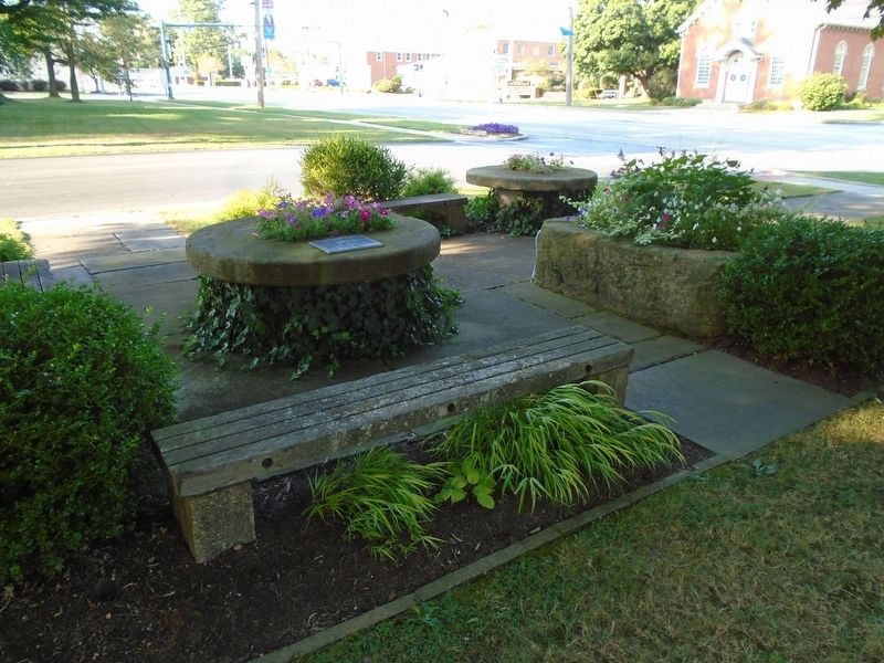
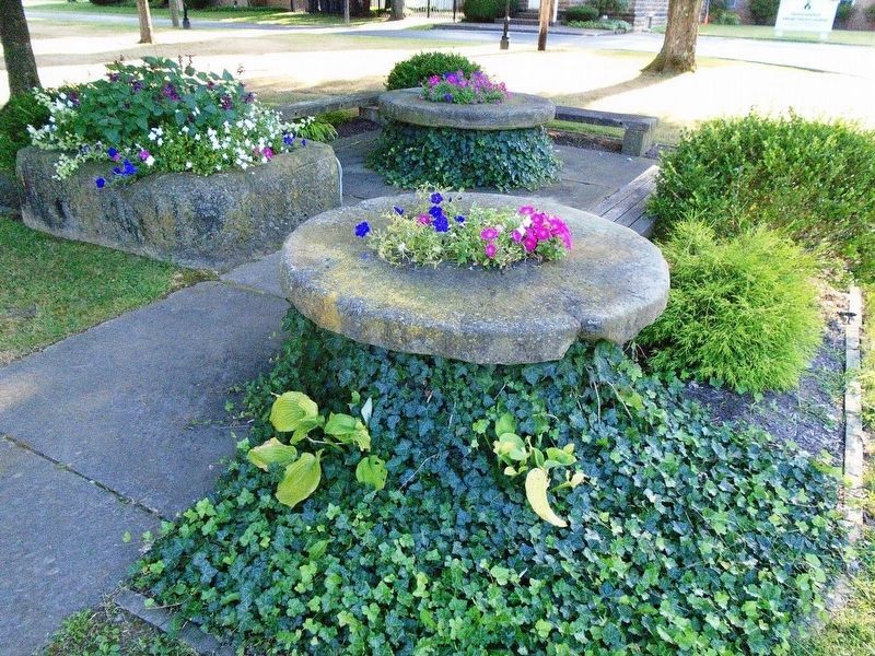
Now only abandoned quarries remain. The Historic Society & Kiwanis Club of Independence joined in 1980 to build this stone garden in commemoration of the quarry era.
Robert Hill Architect
Erected 1980 by the Independence Historical Society and Kiwanis Club.
Topics. This historical marker is listed in these topic lists: Industry & Commerce • Man-Made Features. A significant historical year for this entry is 1840.
Location. 41° 22.929′ N, 81° 38.477′ W. Marker is in Independence, Ohio, in Cuyahoga County. Marker is on Brecksville Road (Ohio Route 21) south of Sunset Avenue, on the right when traveling south. Marker and stone garden are on the West Public Square. Touch for map. Marker is in this post office area: Independence OH 44131, United States of America. Touch for directions.
Other nearby markers. At least 8 other markers are within 2 miles of this marker, measured as the crow flies. Old Stone Church of Independence Sesquicentennial (within shouting distance of this marker); "Veterans Plaza" (about 400 feet away, measured
Related marker. Click here for another marker that is related to this marker.
Also see . . .
1. Independence. Encyclopedia of Cleveland History website entry (Submitted on August 15, 2019, by William Fischer, Jr. of Scranton, Pennsylvania.)
2. Independence (OH) Presbyterian Church. National Register of Historic Places Nomination Form:
Mentions quarrying in the area (Submitted on August 15, 2019, by William Fischer, Jr. of Scranton, Pennsylvania.)
Credits. This page was last revised on June 23, 2022. It was originally submitted on August 15, 2019, by William Fischer, Jr. of Scranton, Pennsylvania. This page has been viewed 450 times since then and 72 times this year. Photos: 1, 2, 3, 4. submitted on August 15, 2019, by William Fischer, Jr. of Scranton, Pennsylvania.


