Near Arnoldsburg in Calhoun County, West Virginia — The American South (Appalachia)
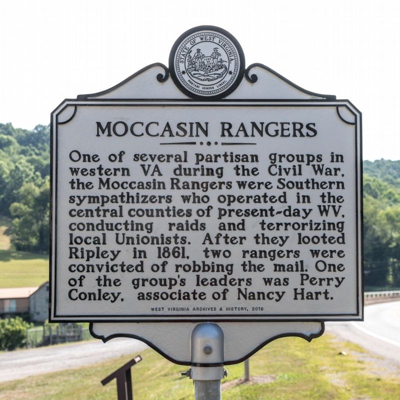
Moccasin Rangers
Erected 2016 by West Virginia Archives and History.
Topics and series. This historical marker is listed in this topic list: War, US Civil. In addition, it is included in the West Virginia Archives and History series list. A significant historical year for this entry is 1861.
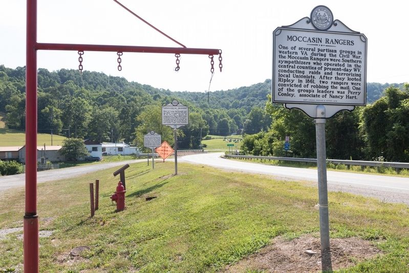
Location. 38° 47.638′ N, 81° 8.513′ W. Marker is near Arnoldsburg, West Virginia, in Calhoun County. Marker is on U.S. 33 west of Arnoldsburg-Rocksdale Road (Local Route 18). It is at West Fork Park in front of the Arnoldsburg Fire Department near the Little Kanawha River. Touch for map. Marker is in this post office area: Orma WV 25268, United States of America. Touch for directions.
Other nearby markers. At least 8 other markers are within 10 miles of this marker, measured as the crow flies. Engagement at Arnoldsburg (a few steps from this marker); Arnoldsburg Skirmish (a few steps from this marker); Perry Hays & George Silcott / Louisa Hays & Amie Silcott (within shouting distance of this marker); Honoring E. Dean Starcher (approx. 5.7 miles away); Grave of Mike Fink (approx. 5.8 miles away); Gilmer County / Calhoun County (approx. 7.7 miles away); Calhoun County Veterans Memorial (approx. 9.3 miles away); In Memoriam CSM Clovis Drexell Ice (approx. 9.3 miles away). Touch for a list and map of all markers in Arnoldsburg.
Also see . . . The Skirmish at Arnoldsburg. Excerpt:
In the Calhoun County area, the home ground of several partisan bands and a convenient refuge for irregulars from neighboring counties, a reign of terror existed. Civil government had completely broken down, stores were looted and closed, the mail routes and post offices were discontinued, business was suspended, and the county officers had abandoned their offices and taken to the hills as rangers and guerrillas.(Submitted on August 17, 2019.)
The whole area reverted to a primitive state, where each man seemed to be on his own, though as a whole the population was about equally divided in loyalty to Confederate Virginia and to the federal government. The rebel partisans were more active in their operations and more direct in their methods of spreading terror.
Credits. This page was last revised on August 17, 2019. It was originally submitted on August 17, 2019, by J. J. Prats of Powell, Ohio. This page has been viewed 879 times since then and 107 times this year. Photos: 1, 2. submitted on August 17, 2019, by J. J. Prats of Powell, Ohio.

