Near Maysel in Clay County, West Virginia — The American South (Appalachia)
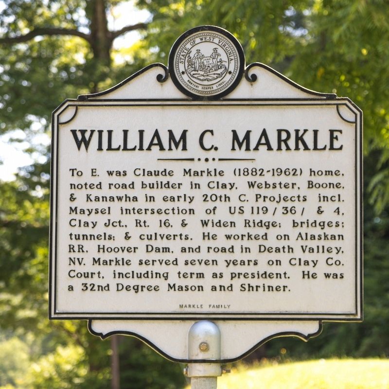
William C. Markle
Erected by the Markle Family. It is listed by West Virginia Archives and History as one of theirs.
Topics and series. This historical marker is listed in these topic lists: Fraternal or Sororal Organizations • Government & Politics • Railroads & Streetcars • Roads & Vehicles. In addition, it is included in the West Virginia Archives and History series list.
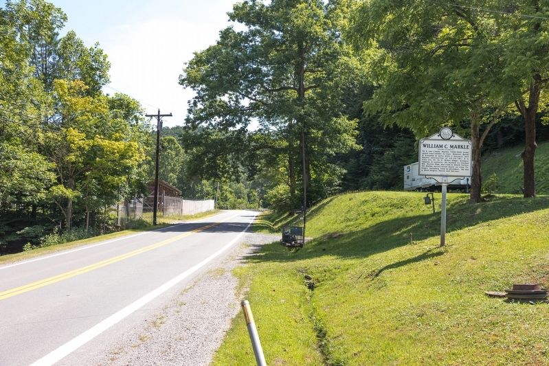
Location. 38° 29.153′ N, 81° 7.08′ W. Marker is near Maysel, West Virginia, in Clay County. Marker is on Procious Maysel Road (West Virginia Route 4) east of Maysel Clay Road (Local Route 26), on the right when traveling east. Touch for map. Marker is at or near this postal address: 2205 Procious Maysel Rd, Maysel WV 25133, United States of America. Touch for directions.
Other nearby markers. At least 8 other markers are within 4 miles of this marker, measured as the crow flies. Union Militias (approx. 2 miles away); Benjamin L. Stephenson (approx. 2.6 miles away); Clay (approx. 2.6 miles away); Clay County Viet Nam Veterans Memorial (approx. 2.6 miles away); Clay County WWI & WWII Veterans Memorial (approx. 2.6 miles away); Clay County Korean Veterans Memorial (approx. 2.6 miles away); Floyd T. Sargent (approx. 2.6 miles away); Jones Brothers Memorial Bridge (approx. 3.7 miles away).
Also see . . . West Virginia Road Pioneer William C. Markle. Excerpt: “Since Claude paid better wages than anyone else in the area, it wasn’t very difficult to find men ready to work. Once he needed some more men to work so he mounted ‘Old Painter’ and rode off through the farm fields where men were working their crops. He rode up to a man fertilizing his field. Claude asked; ‘How much are you getting paid to do that?’ The man answered, ‘Fifty Cents a day.’ Claude said, ‘I’ll pay you five dollars a day to come work for me.’ The man set his bucket down and climbed on the horse behind him. The man worked eleven years for Claude.” (Submitted on August 17, 2019.)
Credits. This page was last revised on August 17, 2019. It was originally submitted on August 17, 2019, by J. J. Prats of Powell, Ohio. This page has been viewed 291 times since then and 29 times this year. Photos: 1, 2. submitted on August 17, 2019, by J. J. Prats of Powell, Ohio.

