Mackinaw City in Cheboygan County, Michigan — The American Midwest (Great Lakes)
Auto Ferries
Mackinaw City Historical Pathway
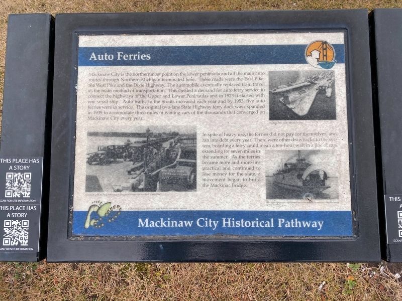
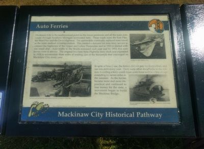
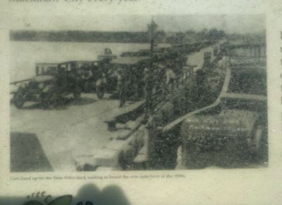
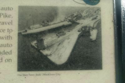
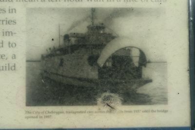
Mackinaw City is the northernmost point on the lower peninsula and all the main auto routes through Northern Michigan terminated here. These roads were the East Pike, the West Pike and the Dixie Highway. The automobile eventually replaced train travel as the main method of transportation. This created a demand for auto ferry service to connect the highways of the Upper and Lower Peninsulas and in 1923 it started with one small ship. Auto traffic to the Straits increased each year and by 1953, five auto ferries were in service. The original two-lane State Highway ferry dock was expanded in 1939 to accomodate [sic] three miles of waiting cars of the thousands that converged on Mackinaw City every year.
In spite of heavy use, the ferries did not pay for themselves, and ran into debt every year. There were other drawbacks to the system, boarding a ferry could mean a ten-hour wait in a line of cars extending for seven miles in the summer. As the ferries became more and more impractical and continued to lose money for the state, a movement began to build the Mackinac Bridge.
Source: Memories of Mackinaw, Judy Ranville and Nancy Campbell (Marker Number 3.)
Topics. This historical marker is listed in these topic lists: Roads & Vehicles • Waterways & Vessels. A significant historical year for this entry is 1923.
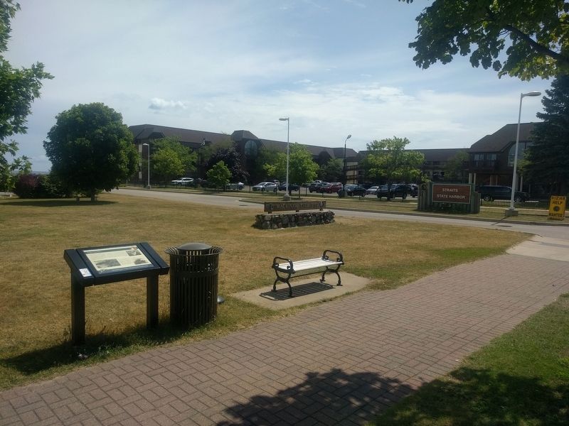
Location. 45° 46.651′ N, 84° 43.583′ W. Marker is in Mackinaw City, Michigan, in Cheboygan County. Marker is on South Huron Avenue north of Wendell Street, on the right when traveling north. Marker is north of the driveway leading to the Straits State Harbor parking area. Touch for map. Marker is at or near this postal address: 409 South Huron Avenue, Mackinaw City MI 49701, United States of America. Touch for directions.
Other nearby markers. At least 8 other markers are within walking distance of this marker. Mill Creek (within shouting distance of this marker); Michigan State Ferry System / Michigan State Car Ferries (within shouting distance of this marker); Ice Harvesting (about 300 feet away, measured in a direct line); Edgar Conkling 1812-1881 (about 400 feet away); The Meneely Bell (about 500 feet away); Commercial Fishing (about 600 feet away); British Colonial Shipbuilding Yard, 1761 - 1781 (about 700 feet away); Mackinaw City Railroad Dock / USCG Cutter Mackinaw WAGB 83 (about 800 feet away). Touch for a list and map of all markers in Mackinaw City.
Also see . . . 03. Auto Ferries. Web page with audio tour file. (Submitted on August 23, 2019, by Joel Seewald of Madison Heights, Michigan.)
Credits. This page was last revised on January 8, 2023. It was originally submitted on August 23, 2019, by Joel Seewald of Madison Heights, Michigan. This page has been viewed 206 times since then and 7 times this year. Photos: 1. submitted on January 7, 2023, by J.T. Lambrou of New Boston, Michigan. 2, 3, 4, 5, 6. submitted on August 23, 2019, by Joel Seewald of Madison Heights, Michigan.
