Chestertown in Kent County, Maryland — The American Northeast (Mid-Atlantic)
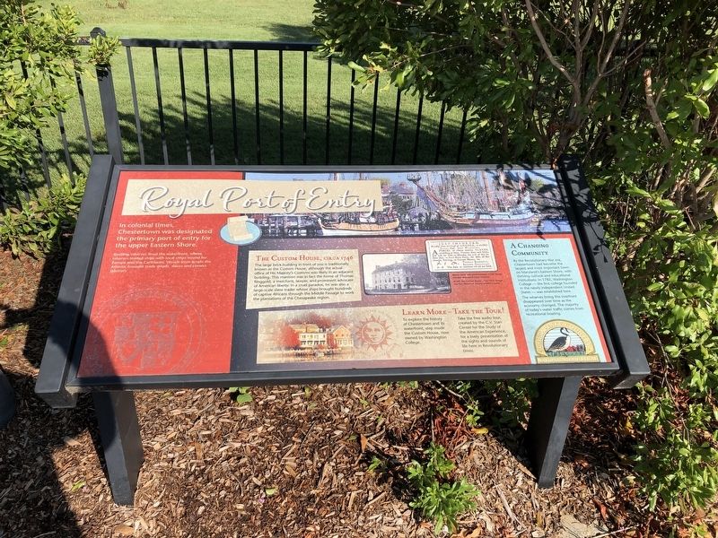
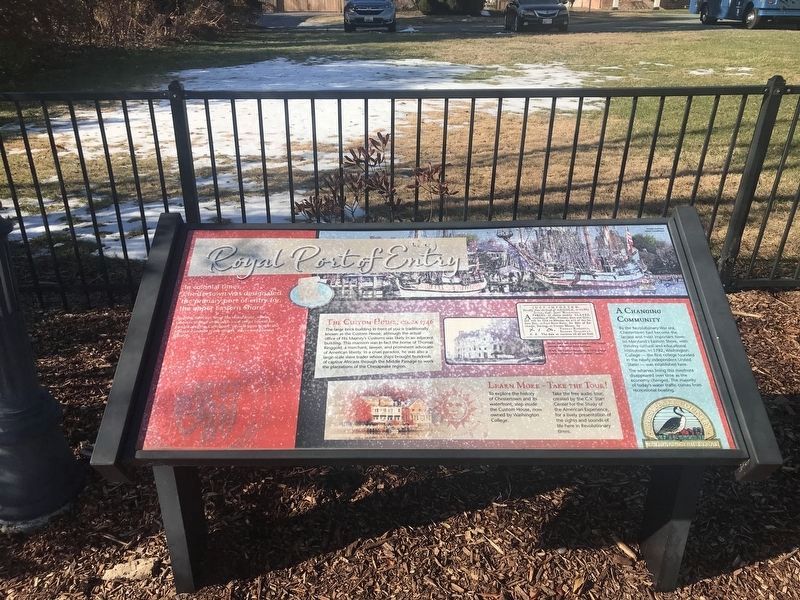
Royal Port of Entry
Bustling wharves lined the waterfront, where laborers loaded ships with local crops bound for Europe and the Caribbean. Vessels from across the Atlantic brought trade goods, slaves and convict laborers.
The Custom House, circa 1746
The large brick building in front of you is traditionally known as the Custom House, although the actual office of His Majesty's Customs was likely in an adjacent building. This mansion was in fact the home of Thomas Ringgold, a merchant, lawyer, and prominent advocate of American liberty. In a cruel paradox, he was also a large-scale slave trader whose ships brought hundreds of captive Africans through the Middle Passage to work the plantations of the Chesapeake region.
A Changing Community
By the Revolutionary War era, Chestertown had become the largest and most important town on Maryland's Eastern Shore, with thriving cultural and educational institutions. In 1782, Washington College — the first college founded in the newly independent United States — was established here.
The wharves lining this riverfront disappeared over time as the economy changed. The majority of today's water traffic comes from recreational boating.
Erected by Chesapeake Country National Scenic Byway.
Topics. This historical marker is listed in these topic lists: Colonial Era • Education • War, US Revolutionary. A significant historical year for this entry is 1746.
Location. 39° 12.399′ N, 76° 3.805′ W. Marker is in Chestertown, Maryland, in Kent County. Marker is on High Street, 0.2 miles north of Cannon Street, on the left when traveling north. Touch for map. Marker is in this post office area: Chestertown MD 21620, United States of America. Touch for directions.
Other nearby markers. At least 8 other markers are within walking distance of this marker. Revolution on the River (a few steps from this marker); Chestertown Memorial (within shouting distance of this marker); Chestertown Historic District (within shouting distance of this marker); We honor them here (within shouting distance of this marker); Widehall (about 300 feet away, measured in a direct line); Worrell’s Tavern (about 700 feet away); Chestertown Vol. Fire Co. (approx. 0.2 miles away); Charles Sumner Post #25, G.A.R. (approx. 0.2 miles away). Touch for a list and map of all markers in Chestertown.
Additional keywords. Slavery
Credits. This page was last revised on January 19, 2022. It was originally submitted on August 25, 2019, by Devry Becker Jones of Washington, District of Columbia. This page has been viewed 349 times since then and 24 times this year. Photos: 1. submitted on August 25, 2019, by Devry Becker Jones of Washington, District of Columbia. 2. submitted on January 10, 2022, by Adam Margolis of Mission Viejo, California. 3. submitted on August 25, 2019, by Devry Becker Jones of Washington, District of Columbia.


