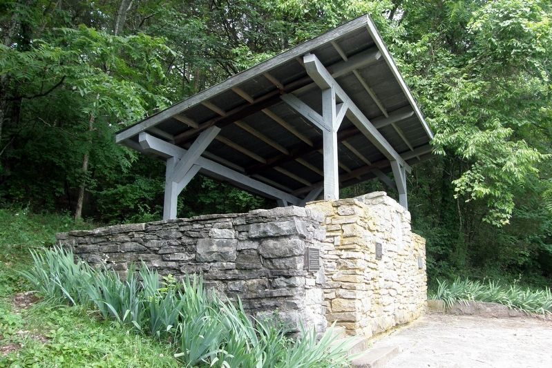
Franklin in Williamson County, Tennessee — The American South (East South Central)
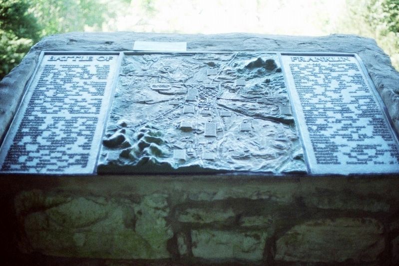
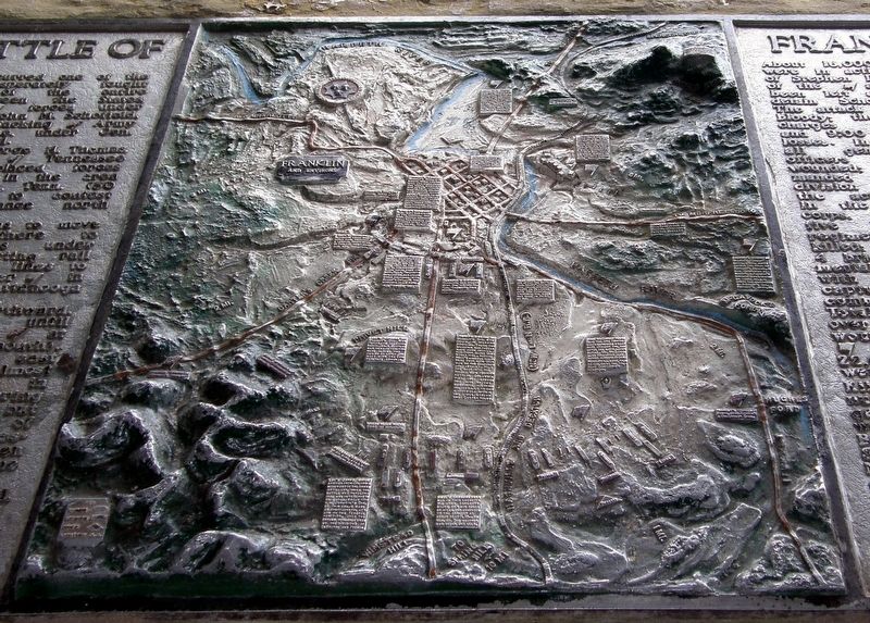
Battle of Franklin
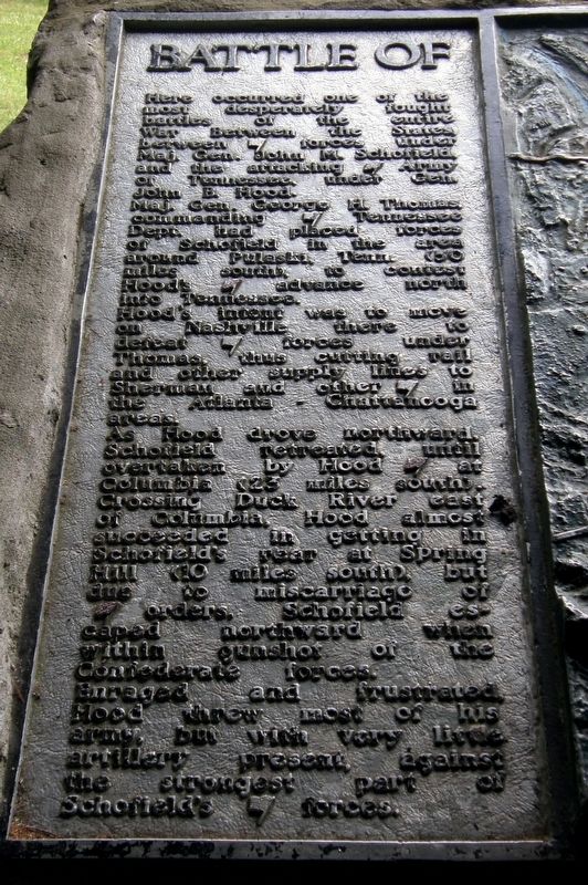
Here occurred one of the most desperately fought battles of the entire War Between The States between forces (flag) under Maj. Gen. John M. Schofield, and the attacking (flag) Army of Tennessee under Gen. John B. Hood.
Maj. Gen. George H. Thomas, commanding (flag) Tennessee Dept. had placed forces of Schofield in the area around Pulaski, Tenn. (50 miles south), to contest Hood’s (flag) advance north into Tennessee.
Hood’s intent was to move on Nashville there to defeat forces (flag) under Thomas, thus cutting rail and other supply lines to Sherman and other (sic) (flag) in the Atlanta-Chattanooga areas.
As Hood drove northward, Schofield retreated until overtaken by Hood (flag) at Columbia (23 miles south). Crossing Duck River east of Columbia, Hood almost succeeded in getting in Schofield’s rear at Spring Hill (10 miles south), but due to miscarriage of orders, Schofield escaped northward when within gunshot of Confederate forces.
Enraged and frustrated, Hood threw most of his army, but with very little artillery present, against the strongest part of Schofield’s (flag) forces.
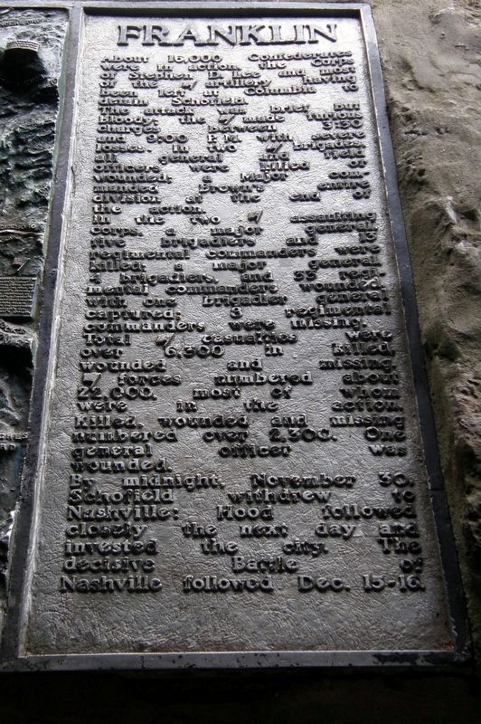
(Right Panel)
About 16,000 Confederates were in action, the Corps of Stephen D. Lee and most of the artillery having been left at Columbia to detain Schofield.
The attack was brief but bloody; the (sic) (flag) made furious charges between 3:30 and 9:00) P.M. with severe losses. In two (flag) brigades, all general and field officers were killed or wounded; a Major (sic) commanding Brown’s entire division at the end of the action.
In the two (flag) assaulting corps, a major general, the brigadiers and 13 regimental commanders were killed; a major general, 4 brigadiers and 33 regimental commanders wounded, with one brigadier general captured; 8 regimental commanders were missing.
Total (flag) casualties were over 6,300 in killed, wounded and missing. (Flag) forces(sic) numbered about 22,000, most of whom were in the action. Killed, wounded and missing numbered over 2,300. One general officer was wounded.
By midnight, November 30, Schofield withdrew to Nashville: Hood followed closely the next day and invested the city. The decisive Battle of Nashville followed Dec. 15-16.
Topics. This historical marker is listed in this topic list: War, US Civil. A significant historical date for this entry is November 30, 1864.
Location. 35° 53.32′ N, 86° 52.713′ W. Marker is in Franklin, Tennessee, in Williamson County. Marker can be reached from Columbia Avenue (U.S. 31) 0.2 miles south of Mack C. Hatcher Memorial Parkway (Tennessee Route 397), on the right when traveling south. Touch for map. Marker is at or near this postal address: Winstead Hill Park, Franklin TN 37064, United States of America. Touch for directions.
Other nearby markers. At least 8 other markers are within walking distance of this marker. Winstead Hill Observation Post (here, next to this marker); The Confederate Soldier (a few steps from this marker); Major General Patrick R. Cleburne CSA (a few steps from this marker); Cockrell's Missouri Brigade CSA (a few steps from this marker); Brigadier General Hiram B. Granbury (a few steps from this marker); States Rights Gist (a few steps from this marker); Otho F. Strahl (within shouting distance of this marker); John C. Carter (within shouting distance of this marker). Touch for a list and map of all markers in Franklin.
More about this marker. The (flag) symbol is sprinkled haphazardly throughout the text.
Credits. This page was last revised on September 8, 2019. It was originally submitted on August 26, 2019, by Larry Gertner of New York, New York. This page has been viewed 286 times since then and 11 times this year. Photos: 1, 2, 3, 4, 5, 6. submitted on August 26, 2019, by Larry Gertner of New York, New York. 7. submitted on August 28, 2019, by Larry Gertner of New York, New York. • Bernard Fisher was the editor who published this page.
