Northampton in Hampshire County, Massachusetts — The American Northeast (New England)
Upper Main Street
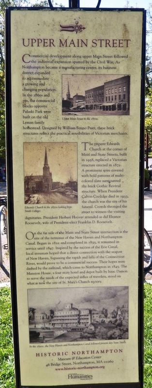
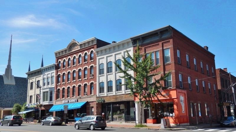
Commercial development along upper Main Street followed the industrial expansion spurred by the Civil War. As Northampton became a manufacturing center, its business district expanded to accommodate a growing and changing population. In the 1860s and 70s, the commercial blocks opposite Pulaski Park were built on the old Lyman family homestead. Designed by William Fenno Pratt, these brick structures reflect the practical sensibilities of Victorian merchants.
The present Edwards Church at the corner of Main and State Streets, built in 1958, replaced a Victorian structure erected in 1872. A prominent spire covered with bold patterns of multicolored slate surmounted the brick Gothic Revival structure. When President Calvin Coolidge died in 1933, the church was the site of his funeral. Crowds thronged the street to witness the visiting dignitaries. President Herbert Hoover attended as did Eleanor Roosevelt, wife of President-elect Franklin D. Roosevelt.
On the far side of the Main and State Street intersection is the site of the terminus of the New Haven and Northampton Canal. Begun in 1822 and completed in 1835, it remained in service until 1847. Inspired by the success of the Erie Canal, local investors hoped that a direct connection with the seaport of New Haven, bypassing the rapids and falls of the Connecticut River, would prove to be a commercial success. Their hopes were dashed by the railroad, which came to Northampton in 1845. The Mansion House, a four story hotel and depot built by Isaac Damon to serve the needs of the expected influx of travelers, stood on what is now the site of St. Mary's Church rectory.
Erected by Historic Northampton Museum & Education Center; sponsored by Pioneer Valley Hotel Group.
Topics and series. This historical marker is listed in these topic lists: Architecture • Churches & Religion • Industry & Commerce • Railroads & Streetcars. In addition, it is included in the Eleanor Roosevelt, the Former U.S. Presidents: #30 Calvin Coolidge, and the Former U.S. Presidents: #31 Herbert Hoover series lists.
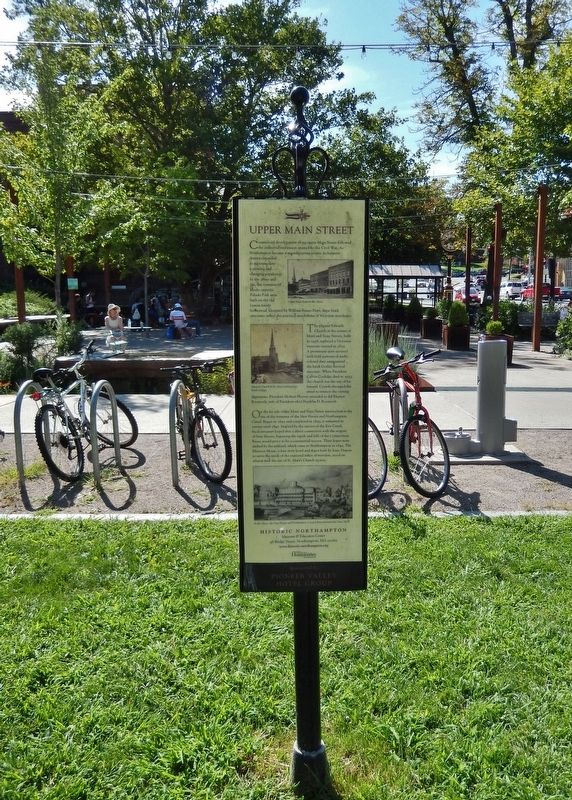
Location. 42° 19.056′ N, 72° 37.974′ W. Marker is in Northampton, Massachusetts, in Hampshire County. Marker can be reached from the intersection of Main Street (Massachusetts Route 10) and Masonic Street, on the right when traveling east. Marker is located beside the sidewalk near the north end of Pulaski Park. This marker is the east-facing side of a 4-panel exhibit. Touch for map. Marker is at or near this postal address: 240 Main Street, Northampton MA 01060, United States of America. Touch for directions.
Other nearby markers. At least 8 other markers are within walking distance of this marker. Town Center (here, next to this marker); Pulaski Park
(here, next to this marker); West Main Street (here, next to this marker); USS Northampton (a few steps from this marker); Northampton Remembers (within shouting distance of this marker); Brigadier General Casimir Pulaski (within shouting distance of this marker); Pulaski (within shouting distance of this marker); Draper Hotel (within shouting distance of this marker). Touch for a list and map of all markers in Northampton.
Also see . . .
1. Northampton-New Haven Canal. Begun in 1822 and completed in 1835, the canal was ill-fated from the start. Delays plagued construction, and the enterprise was never profitable. Although the canal was in service until 1847, it could not compete with the technological revolution of the railroad, which came to Northampton in 1845. (Submitted on August 28, 2019, by Cosmos Mariner of Cape Canaveral, Florida.)
2. Farmington Canal, also known as the New Haven and Northampton Canal (Wikipedia). The New Haven and Northampton Canal was built in the early 19th century to provide water transportation from New Haven into the interior of
Connecticut, Massachusetts and beyond. With the advent of railroads, it was quickly converted to a railroad in the mid-19th century and in recent years has been converted to a multi-use trail after being abandoned for years. (Submitted on August 28, 2019, by Cosmos Mariner of Cape Canaveral, Florida.)
Credits. This page was last revised on August 11, 2023. It was originally submitted on August 28, 2019, by Cosmos Mariner of Cape Canaveral, Florida. This page has been viewed 218 times since then and 18 times this year. Photos: 1, 2, 3. submitted on August 28, 2019, by Cosmos Mariner of Cape Canaveral, Florida.


