Near San Miguel Cañadas in Tepotzotlán, Mexico State, Mexico — The Central Highlands (North America)
Sierra of Tepotzotlán
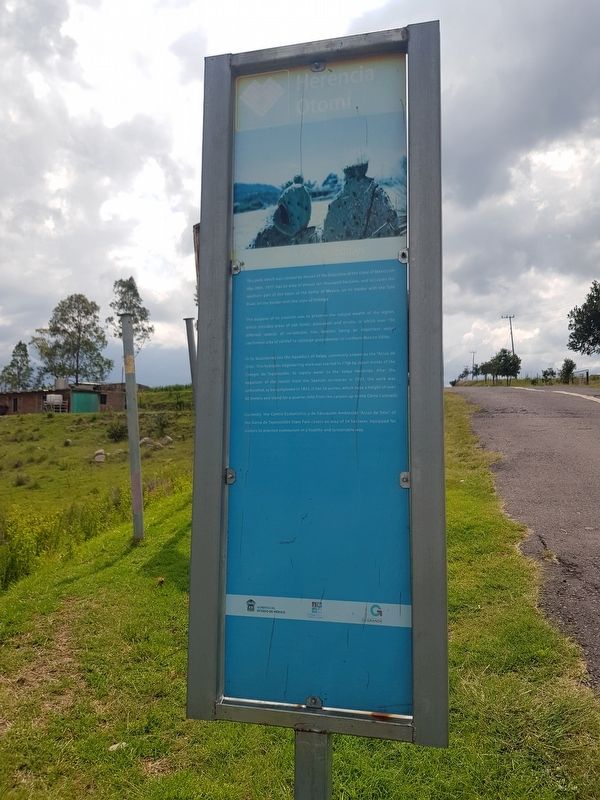
Herencia Otomí - Otomí Heritage
Este parque, que fue creado por decreto del Ejecutivo del Estado de México el 26 de mayo de 1977, tiene actualmente una extensión cercana a las diez mil hectáreas, y ocupa la parte norte de la cuenca del Valle de México, en su frontera con la del río Tula, en los límites con el estado de Hidalgo.
El objetivo de su creación fue preservar la riqueza natural de la región, que incluye zonas de bosque de encino, pastizal y matorral, en los que se encuentran más de 150 especies distintas de vertebrados, además de representar una importante región de captación de agua de lluvia para la recarga de los mantos freáticos del norte del Valle de México.
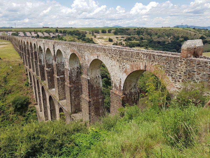
En sus linderos se encuentra el Acueducto de Xalpa, comúnmente conocido como los "Arcos de Sitio. Esta obra de ingeniería hidráulica novohispana fue comenzada en 1706, por los monjes jesuitas del Colegio de Tepotzotlán, para abastecer de agua a la Hacienda de Xalpa. Tras la expulsión de la Compañía de Jesús de los territorios españoles, en 1767, la obra quedó inacabada, para ser terminada en 1852. Cuenta con 56 arcos, que tlenen una altura de más de 60 metros y recorren casi medio kilómetro desde la barranca hasta el Cerro Colorado.
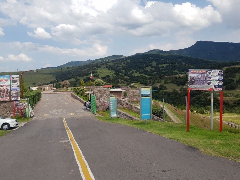
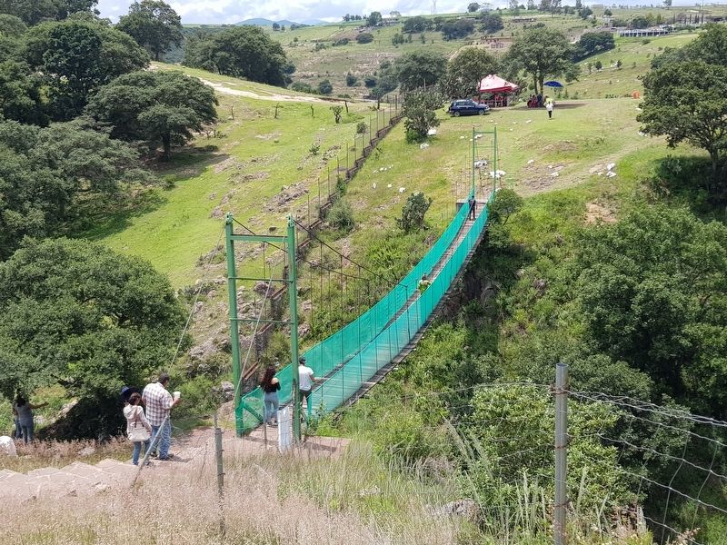
Actualmente, el Centro Ecoturístico y de Educación Ambiental "Arcos del Sitio" del Parque Estatal Sierra de Tepotzotlán cubre un espacio de 54 hectáreas, con equipamiento para que los visitantes practiquen el ecoturismo de una manera sana y sustentable.
Sierra of Tepotzotlán
This park, which was created by decree of the Executive of the State of Mexico on May 26th, 1977, has an area of almost ten thousand hectares, and occupies the northern part of the basin of the Valley of Mexico, on its border with the state of Hidalgo.
The purpose of its creation was to preserve the natural wealth of the region, which includes areas of oak forest, grasslands and scrubs, in which over 150 different species of vertebrates live, besides being an important water catchment area of rainfall to recharge groundwater in northern Mexico Valley.
In its boundaries lies the Aqueduct of Xalpa, commonly known as the “Arcos de Sitio.” This hydraulic engineering work was started in 1706 by Jesuit monks of the Colegio de Tepotzotlán, to supply water to the Xalpa Hacienda. After the expulsion of the Jesuits from the Spanish territories in 1767, the work was unfinished, to be completed in 1852. It has 56 arches, which have a height of over 60 meters and stand for a quarter mile from the canyon up to the Cerro Colorado.
Currently, the Centro Ecoturistico y de Educación Ambiental “Arcos de Sitio” of the Sierra de Tepotzotlán State Park covers an area of 54 hectares, equipped for visitors to practice ecotourism in a healthy and sustainable way.
Topics. This historical marker is listed in these topic lists: Bridges & Viaducts • Colonial Era • Man-Made Features • Parks & Recreational Areas. A significant historical date for this entry is May 26, 1977.
Location. 19° 45.957′ N, 99° 20.682′ W. Marker is near San Miguel Cañadas, Estado de Mexico (Mexico State), in Tepotzotlán. Marker is on Unnamed road just east of Camino a San José Piedra Gorda, on the left when traveling east. Touch for map. Marker is in this post office area: San Miguel Cañadas MEX 54645, Mexico. Touch for directions.
Other nearby markers. At least 8 other markers are within 14 kilometers of this marker, measured as the crow flies. The Aqueduct of Xalpa (about 150 meters away, measured in a direct line); Church of the Virgen de la Peña de Francia (approx. 13.1 kilometers away); Constituent Congress of 1856-1857 (approx. 13.1 kilometers away); Old City Hall (approx. 13.1 kilometers away); Bicentennial Tree (approx. 13.2 kilometers away); Hidalgo Plaza and Los Portales
(approx. 13.2 kilometers away); The Cloister of San Francisco Javier (approx. 14 kilometers away); Old Jesuit School of San Martín (approx. 14 kilometers away).
Credits. This page was last revised on August 29, 2019. It was originally submitted on August 29, 2019, by J. Makali Bruton of Accra, Ghana. This page has been viewed 131 times since then and 8 times this year. Photos: 1, 2, 3, 4, 5. submitted on August 29, 2019, by J. Makali Bruton of Accra, Ghana.


