Schroon in Essex County, New York — The American Northeast (Mid-Atlantic)
State Land
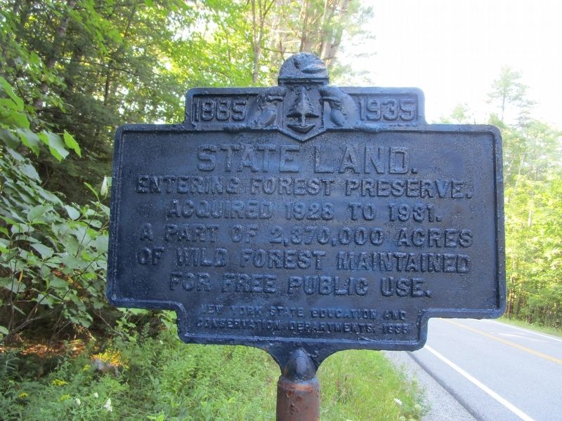
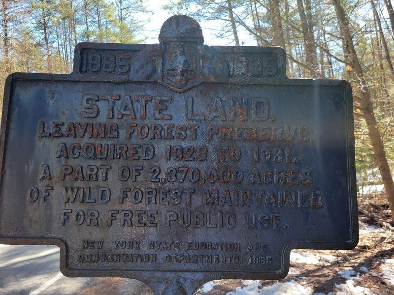
State Land.
Entering forest preserve.
Acquired 1928 to 1931.
A part of 2,370,000 acres
of wild forest maintained
for free public use.
Erected 1935 by New York State Education and Conservation Departments.
Topics. This historical marker is listed in these topic lists: Horticulture & Forestry • Parks & Recreational Areas. A significant historical year for this entry is 1885.
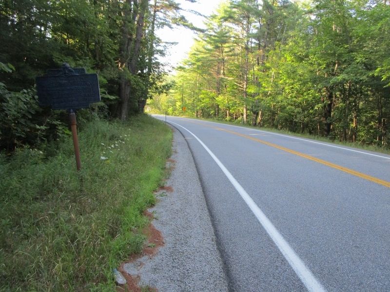
Location. 43° 53.227′ N, 73° 38.262′ W. Marker is in Schroon, New York, in Essex County. Marker is on New York State Route 74, ¼ mile east of Letsonville Road, on the right when traveling east. Marker is about a quarter mile east of the east-facing sign for the hamlet of Paradox. Touch for map. Marker is in this post office area: Paradox NY 12858, United States of America. Touch for directions.
Other nearby markers. At least 8 other markers are within 6 miles of this marker, measured as the crow flies. The Sons of Temperance Hall (approx. 5.6 miles away); Ironville Historic District (approx. 5.6 miles away); Irondale (approx. 5.6 miles away); The Birthplace of the Electrical Age (approx. 5.6 miles away); Historic Walking Tour (approx. 5.6 miles away); Penfield Homestead Museum (approx. 5.6 miles away); Penfield Pond (approx. 5.6 miles away); a different marker also named Penfield Homestead Museum (approx. 5.6 miles away).
Credits. This page was last revised on April 11, 2024. It was originally submitted on August 29, 2019, by Anton Schwarzmueller of Wilson, New York. This page has been viewed 197 times since then and 24 times this year. Photos: 1, 2. submitted on August 29, 2019, by Anton Schwarzmueller of Wilson, New York. 3. submitted on April 8, 2024, by Deborah E. Keesler of Pawling, New York.


