Santa Barbara in Santa Barbara County, California — The American West (Pacific Coastal)
Private Railcar Spurs
1905
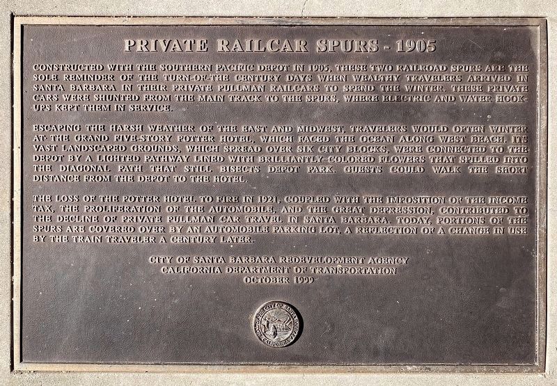
Escaping the harsh weather of the east and midwest, travelers would often winter at the grand five-story Potter Hotel, which faced the ocean along West Beach. Its vast landscaped grounds, which spread over six city blocks, were connected to the depot by a lighted pathway lined with brilliantly-colored flowers that spilled into the diagonal path that still bisects Depot Park. Guests could walk the short distance from the depot to the hotel.
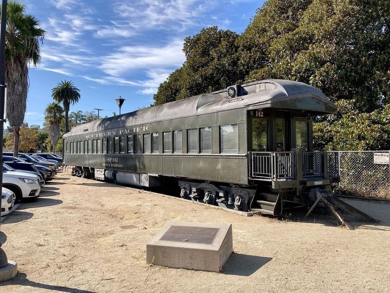
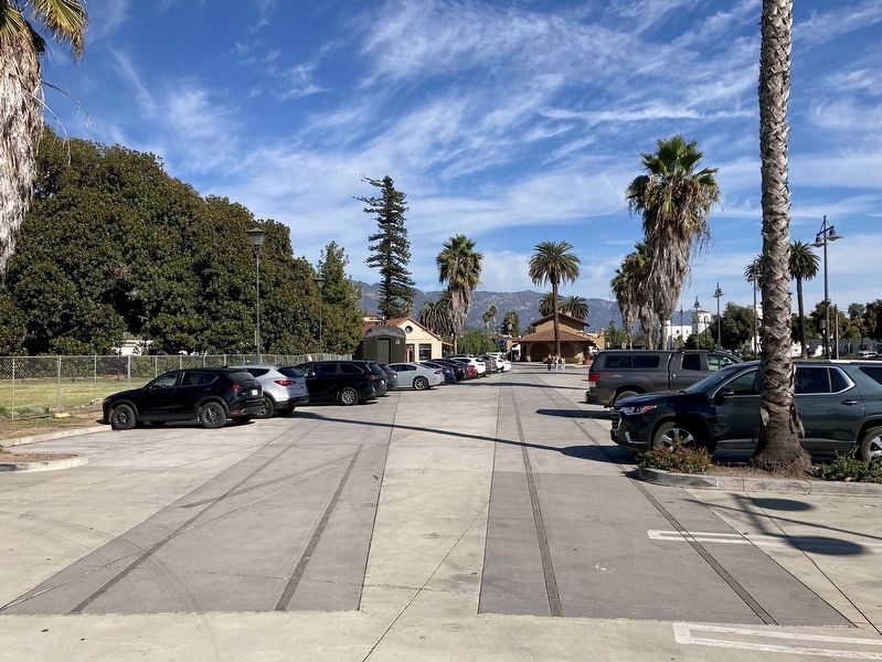
The loss of the Potter Hotel to fire in 1921, coupled with the imposition of the income tax, the proliferation of the automobile, and the Great Depression, contributed to the decline of private Pullman car travel in Santa Barbara. Today, portions of the spurs are covered over by an automobile parking lot, a reflection of a change in use by the train traveler a century later.
Erected 1999 by City of Santa Barbara Redevelopment Agency; and California Department of Transportation.
Topics. This historical marker is listed in this topic list: Railroads & Streetcars. A significant historical year for this entry is 1905.
Location. 34° 24.81′ N, 119° 41.622′ W. Marker is in Santa Barbara, California, in Santa Barbara County. Marker can be reached from Chapala Street south of Montecito Street, on the right when traveling south. Touch for map. Marker is at or near this postal address: 224 Chapala Street, Santa Barbara CA 93101, United States of America. Touch for directions.
Other nearby markers. At least 8 other markers are within walking distance of this marker. Moreton Bay Fig Tree (within shouting distance of this marker); El Capitán Portolá (within shouting distance of this marker); Bridge MP 36729 Santa Barbara Subdivision (about 400 feet away, measured in a direct line); Santa Barbara Railroad Station (about 400 feet away); Fly To-Day (approx. 0.2 miles away); Trades Union Building (approx. 0.2 miles away); Burton Mound (approx. 0.2 miles away); Burton’s Mound (approx. 0.2 miles away). Touch for a list and map of all markers in Santa Barbara.
Credits. This page was last revised on November 14, 2023. It was originally submitted on August 29, 2019, by Craig Baker of Sylmar, California. This page has been viewed 260 times since then and 28 times this year. Photos: 1, 2, 3. submitted on November 14, 2023, by Craig Baker of Sylmar, California. • Andrew Ruppenstein was the editor who published this page.


