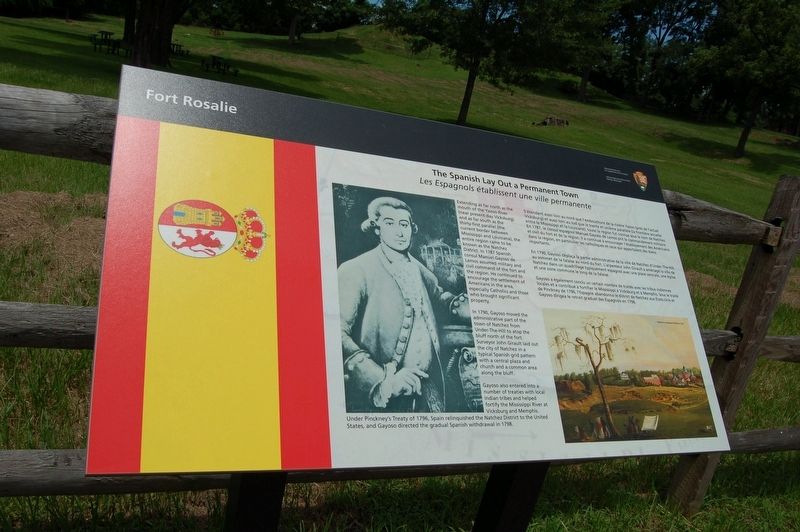
The Spanish Lay Out a Permanent Town
Les Espagnols établissent une ville permanente
— Fort Rosalie —
In 1790, Gayoso moved the administrative part of the town of Natchez from Under-The-Hill to atop the bluff north of the fort. Surveyor John Girault laid out the city of Natchez in a typical Spanish grid pattern with a central plaza and church and a common area along the bluff.
Gayoso also entered into a number of treaties with local Indian tribes and helped fortify the Mississippi River at Vicksburg and Memphis. Under Pinckney's Treaty of 1796, Spain relinquished the Natchez District to the United States, and Gayoso directed the gradual Spanish withdrawal in 1798.
French:
En 1790, Gayoso déplaça la partie administrative de Ia ville de Natchez d'Under-The-Hill au sommet de la falaise au nord du fort. L'arpenteur John Girault a aménagé la ville de Natchez dans un quadrillage typiquement espagnol avec une place centrale, une église et une zone commune le long de Ia falaise.
Gayoso a également conclu un certain nombre de traités avec les tribus indiennes locales et a contribué à fortifier le Mississippi à Vicksburg et a Memphis. Sous le traité de Pinckney de 1796, l'Espagne abandonna le district de Natchez aux États-Unis et Gayoso dirigea le retrait graduel des Espagnols en 1798.
S'étendant aussi loin au ford que l'ernbouchure
de is riviére Yazoo (prés de l'actuel Vicksburg) et aussi loin au sud que le trente et uniéme paralléle (la frontiére actuelle entre le Mississippi et la Louisiane), toute la région fut connue sous le nom de Natchez. En 1787, le consul espagnol Manuel Gayoso de Lemos prit le commandement militaire et civil du fort et de la région. Il a continué à encourager l'etablissement des Américains dans la région, en particulier les catholiques et ceux qui apportaient des biens importants.
Erected by National Park Service, U.S. Department of the Interior.
Topics. This historical marker is listed in these topic lists: Colonial Era • Forts and Castles.
Location. 31° 33.398′ N, 91° 24.603′ W. Marker is in Natchez, Mississippi, in Adams County. Marker is on South Canal Street near Green Street, on the right when traveling south. Touch for map. Marker is in this post office area: Natchez MS 39120, United States of America. Touch for directions.
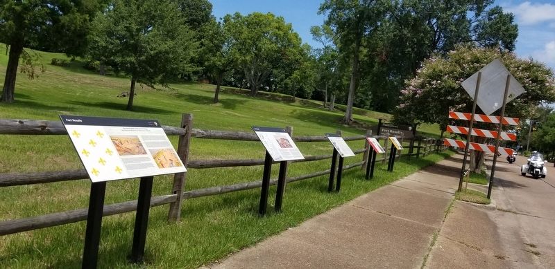
Other nearby markers. At least 8 other markers are within walking distance of this marker. The British Assume Control and Shelter Tories (here, next to this marker); The Natchez Revolt (a few steps from this marker); French Retaliation & the Second Fort Rosalie (a few steps from this marker); The French Build a Fort and a Colony (a few steps from this marker); The Natchez People (about 500 feet away, measured in a direct line); The Introduction of Slavery in the Natchez District (about 500 feet away); The French in North America (about 500 feet away); The European Struggle for Control (about 500 feet away). Touch for a list and map of all markers in Natchez.
Credits. This page was last revised on September 2, 2019. It was originally submitted on September 2, 2019, by Cajun Scrambler of Assumption, Louisiana. This page has been viewed 200 times since then and 23 times this year. Photos: 1, 2. submitted on September 2, 2019.

