Downtown in Syracuse in Onondaga County, New York — The American Northeast (Mid-Atlantic)
Onondaga Indians
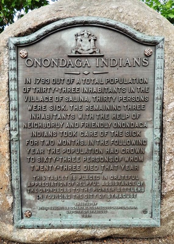
In 1793 out of a total population of thirty-three inhabitants in the village of Salina, thirty persons were sick. The remaining three inhabitants with the help of neighborly and friendly Onondaga Indians took care of the sick for two months. In the following year the population had grown to sixty-three persons, of whom twenty-three died that year.
This tablet is placed in grateful appreciation of helpful assistance of the Onondagas to the pioneer settlers in founding the city of Syracuse.
Erected 1934 by State Education Department, Syracuse Chapter • Sons of the American Revolution, and City of Syracuse.
Topics and series. This historical marker is listed in these topic lists: Native Americans • Settlements & Settlers. In addition, it is included in the Sons of the American Revolution (SAR) series list. A significant historical year for this entry is 1793.
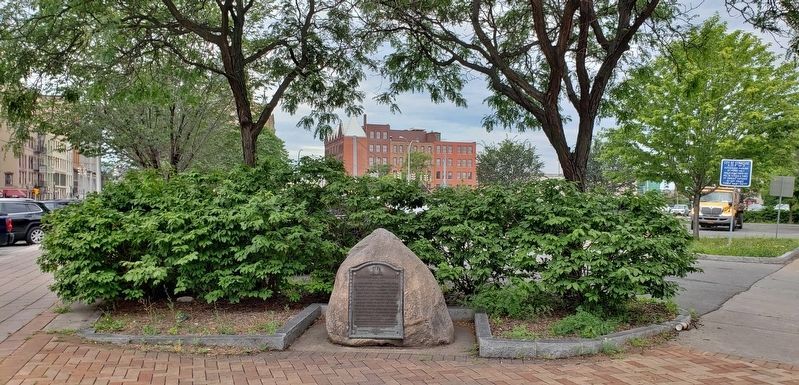
Location. 43° 3.061′ N, 76° 8.983′ W. Marker is in Syracuse, New York, in Onondaga County. It is in Downtown. Marker is at the intersection of Erie Boulevard East and Oswego Boulevard (New York State Route 5), on the left when traveling east on Erie Boulevard East. Marker is located beside the sidewalk at the northwest corner of the intersection. Touch for map. Marker is in this post office area: Syracuse NY 13202, United States of America. Touch for directions.
Other nearby markers. At least 8 other markers are within walking distance of this marker. Pitts Park (within shouting distance of this marker); How Much Does a Canal Boat Weigh? (within shouting distance of this marker); Erie Boulevard Was Once the Erie Canal (within shouting distance of this marker); Gardening Along the Erie Canal (within shouting distance of this marker); Erie Canal (within shouting distance of this marker); Why a Weighlock? (within shouting distance of this marker); Gateway to the World (within shouting distance of this marker); Locks (about 400 feet away, measured in a direct line). Touch for a list and map of all markers in Syracuse.
Also see . . . Neighbors of the Onondaga Nation. Syracuse Peace Council website entry:
The actual area of the 1793 event was 1 1/2 miles northwest of the marker, somewhere between today's Inner Harbor and Washington Square Park. Also, the white inhabitants in 1793 were actually squatters on Onondaga territory. Based on the 1788 treaty with New York the white settlement mentioned on the marker was within Onondaga Nation boundaries. (Submitted on September 2, 2019, by Cosmos Mariner of Cape Canaveral, Florida.)
Credits. This page was last revised on February 16, 2023. It was originally submitted on September 2, 2019, by Cosmos Mariner of Cape Canaveral, Florida. This page has been viewed 361 times since then and 35 times this year. Photos: 1, 2. submitted on September 2, 2019, by Cosmos Mariner of Cape Canaveral, Florida.

