Near Acambay, Mexico State, Mexico — The Central Highlands (North America)
Residential Platforms
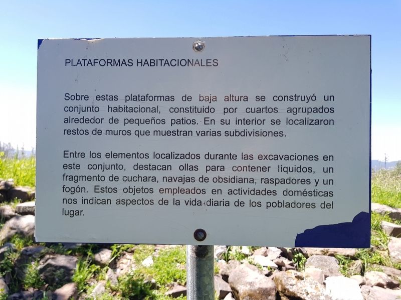
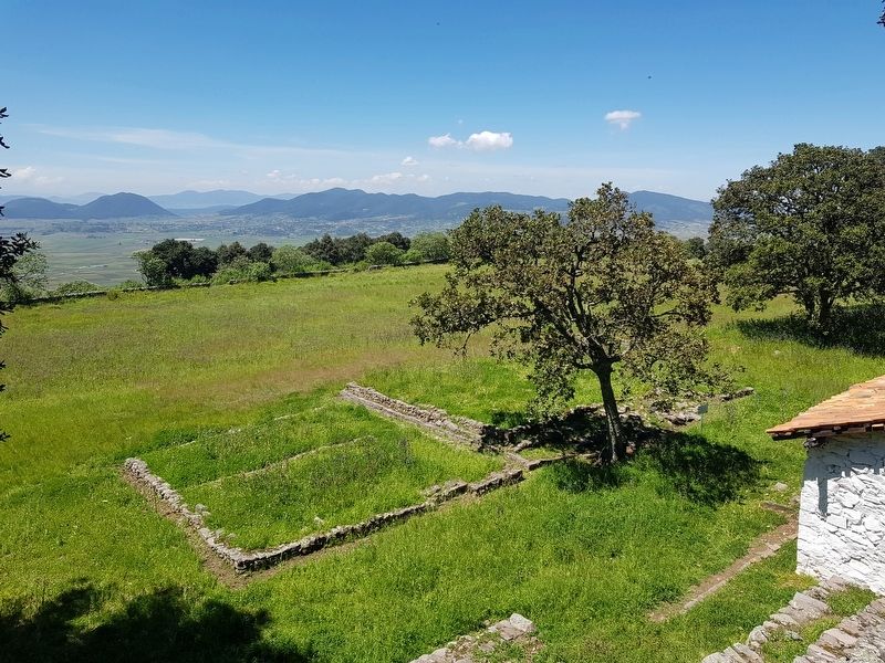
Sobre estas plataformas de baja altura se construyó un conjunto habitacional, constituido por cuartos agrupados alrededor de pequeños patios. En su interior se localizaron restos de muros que muestran varias subdivisiones.
Entre los elementos localizados durante las excavaciones en este conjunto, destacan ollas para contener líquidos, un fragmento de cuchara, navajas de obsidiana, raspadores y un fogón. Estos objetos empleados en actividades domésticas nos indican aspectos de la vida diaria de los pobladores del lugar.
Residential platforms
On these low platforms a housing complex was built, consisting of rooms grouped around small courtyards. Inside there were traces of walls that show several subdivisions.
Among the elements located during the excavations in this complex, some of the items found were: pots for containing liquids, a spoon fragment, obsidian blades, scrapers and a stove. These objects used in domestic activities indicate aspects of the daily life of the locals.
Topics. This historical marker is listed in these topic lists: Anthropology & Archaeology • Native Americans • Settlements & Settlers. A significant historical year for this entry is 1300.
Location. 19° 58.714′ N, 99° 51.933′ W. Marker is near Acambay, Estado de Mexico (Mexico State). Marker can be reached from Camino a Huamango just east of Carretera Federal Mexicana (Route 57), on the left when traveling east. Touch for map. Marker is in this post office area: Acambay MEX 50345, Mexico. Touch for directions.
Other nearby markers. At least 8 other markers are within 5 kilometers of this marker, measured as the crow flies. Huamango Archaeological Site (within shouting distance of this marker); Mexican Independence, Revolution and Acambay Earthquake (approx. 3.4 kilometers away); Execution of Lindoro Cajiga (approx. 3.4 kilometers away); History of Acambay (approx. 3.4 kilometers away); The 1921 Acambay Earthquake (approx. 3.4 kilometers away); Otomíes of Acambay (approx. 3.4 kilometers away); Parish and Ex Convent of San Miguel Arcángel (approx. 3.4 kilometers away); Foundation of the "Acambayense League" (approx. 3.5 kilometers away). Touch for a list and map of all markers in Acambay.
Credits. This page was last revised on January 4, 2023. It was originally submitted on September 3, 2019, by J. Makali Bruton of Accra, Ghana. This page has been viewed 69 times since then and 2 times this year. Photos: 1, 2, 3, 4. submitted on September 3, 2019, by J. Makali Bruton of Accra, Ghana.


